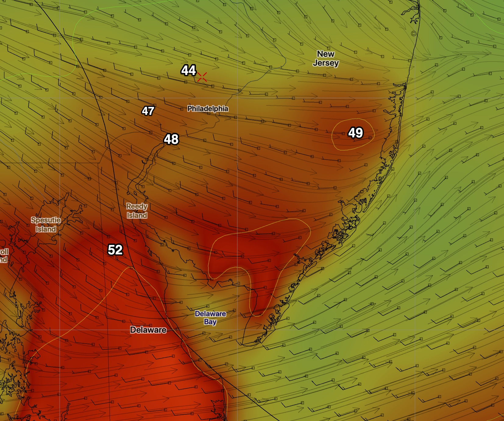
Whoops….we may need to cancel those sunny breaks I forecast within the past hour. I took a look at the very low level cloud deck and it hangs firm until very late.
Very low level clouds
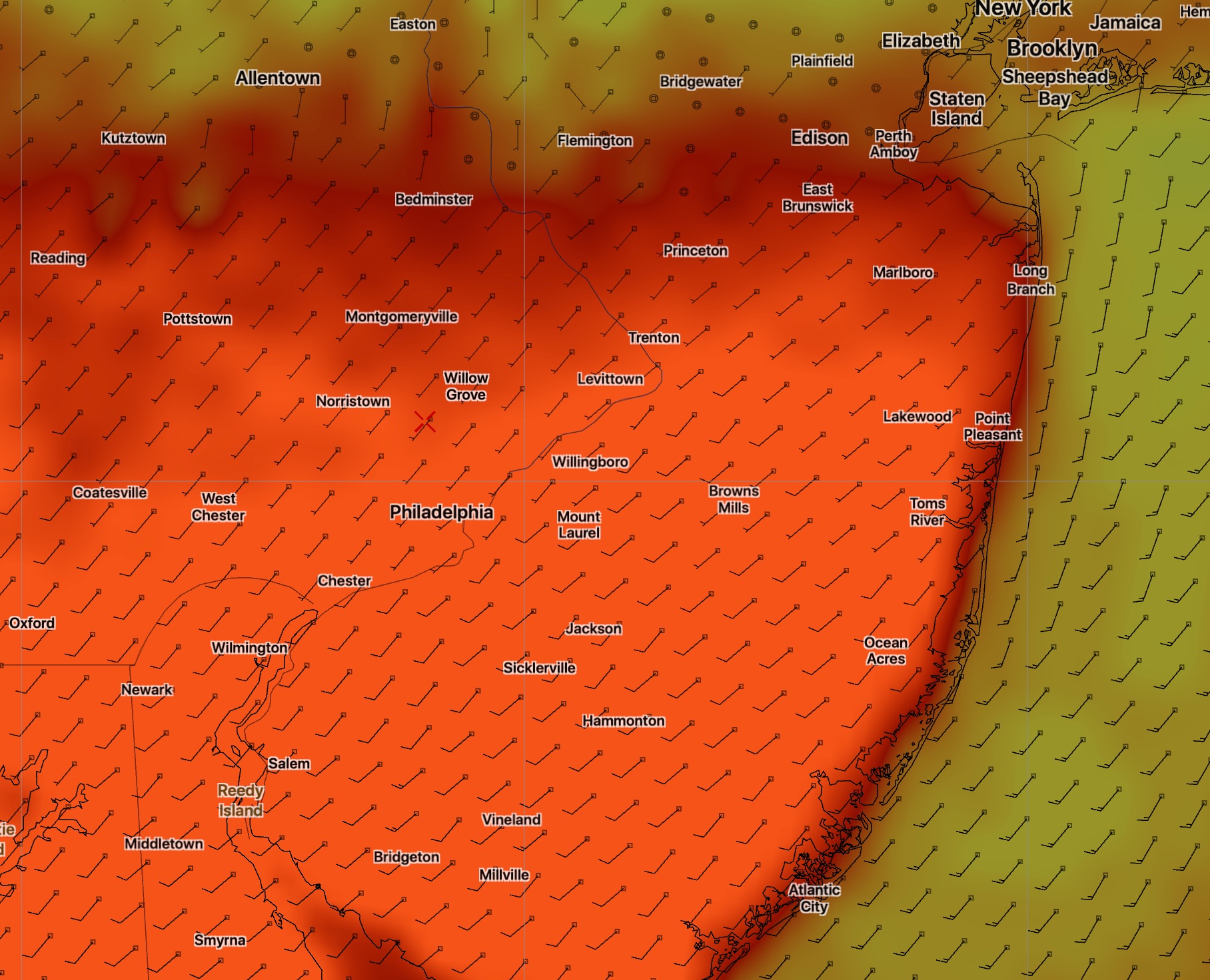
The latest GFS has some breaks of sun coming in sometime between 1 and 5 PM due to a dry slot from the south.High temperatures are also coming in much lower than predicted-
Revised High Temps
High temps in the 53-55 range, occurring later in the afternoon:
My post from last year about Daylight Saving Time and the forecasts you see on the 10 and 11 PM TV news is useful information to check out.
The short version is that the latest runs of the GFS and other global models are not completed nor available in time for the late night TV weather segments when we switch to Daylight Saving Time on the east coast.
Indeed, the first “products” of the GFS model first become available about 11:32 EDT.
With the exception of the NAM, the forecasts you see on the 10PM or 11PM (east coast) news/weather can only be based on older model runs from the short range models and [possibly] the newest NAM. Indeed, some of the short range models at those times are, in turn, “initialized” from the earlier afternoon NAM model, not necessarily the latest!
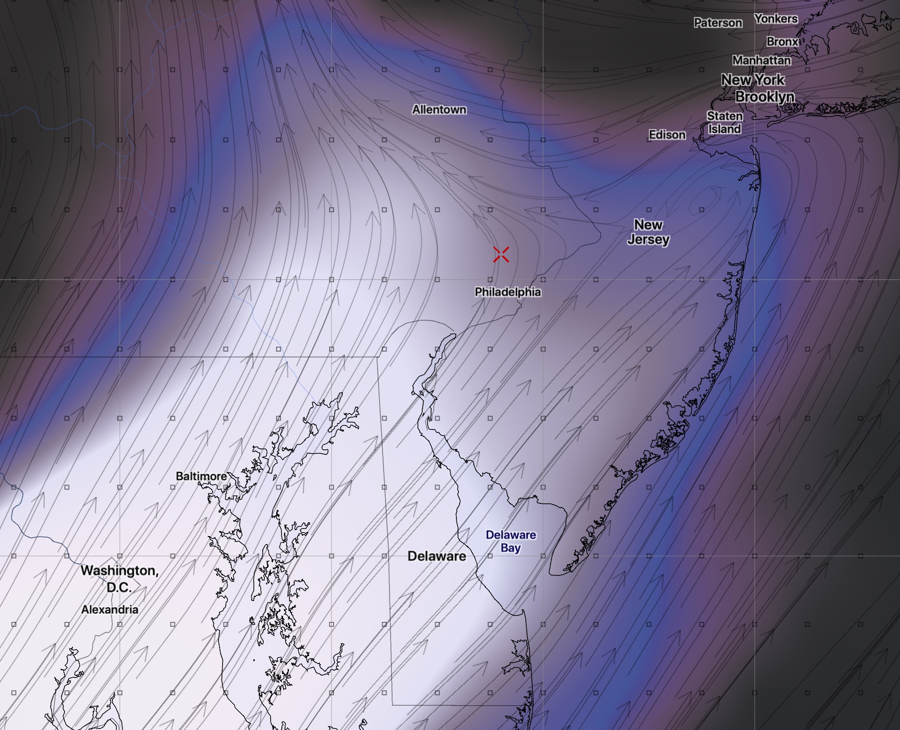
Saturday will be mostly sunny with a light winds before low pressure approaches during the evening hours. High 49.
As a low pressure system approaches from the west, clouds move in during the late afternoon. Rain starts between 10pm and midnight.
Sunday starts rainy, moderately heavy at times in the very early morning. Rain tapers and ends mid-morning. It’s uncertain whether clouds will fully break for sun in the afternoon. Mild. High 60. (GFS and NBM)
As was the case a few weeks ago, the NAM shows lower temps for Sunday and has the high only in the low to mid 50s on Sunday.
A weak cold front moves through early Sunday evening with widely scattered showers.


 High temperatures are also coming in much lower than predicted-