We had about 2.5 inches snow just northwest of the city. I had predicted zero to 1 around here, so what happened?
First, it was always what I called a boundary conditions forecast, since the forecast parameters for snow vs. sleet were so on the borderline of different outcomes. I wrestled with the forecast for days.
Here’s what I got wrong- temperatures at two critical levels of the atmosphere below 7000 feet were forecast to stay at or below freezing. I ignored these temperatures, since the other critical level of the atmosphere, “the thickness level 1000-500 mb”, (a measure of the average temperature below 18,000 feet) has always served me well and it was expected to warm up. It didn’t.
It turns out the earlier NAM’s predicted 500 mb thickness level was wrong. It had been forecast earlier in the day to rise to 5440 meters by 7 PM. (Too warm for snow usually.)
However, the 7 PM NAM initial conditions showed the thickness level to be 5420 and not increasing. (Snow vs rain occurs if the thickness level is at or below 5400 in our area.) So the mid levels of the atmosphere never warmed as expected.
This “critical thickness” level error was made by both the GFS and NAM models. Since the “predicted thickness” level was so close to the “critical thickness”, any error was going to blow the forecast.
Indeed, the NWS had to issue a Winter Storm Warning last night as late as 6:30 PM. So they were also caught by surprise.
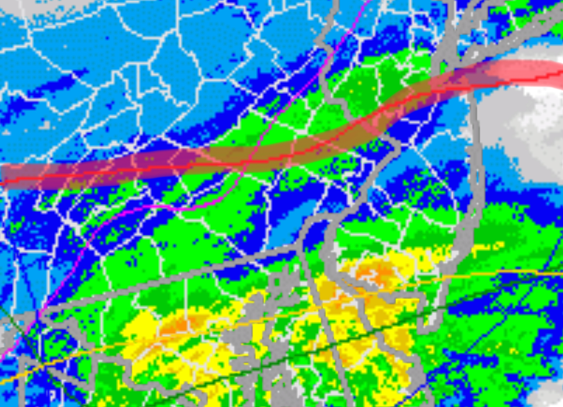
That wasn’t all that went wrong with the models forecast- All models, including the National Blend of Models had the storm intensifying and lasting through at least midnight. The NBM had the chance of precip of near 100% at midnight in PHL. But the storm was a faster mover, didn’t develop as expected, and was long out of here by 10 PM!
So that’s what happened — Parameters on the borderline weren’t accurately predicted and the storm speed and development wasn’t modeled properly!
Hey, bad modeling by engineers designing bridges causes them collapse; this bad forecast is just going to just melt away today!