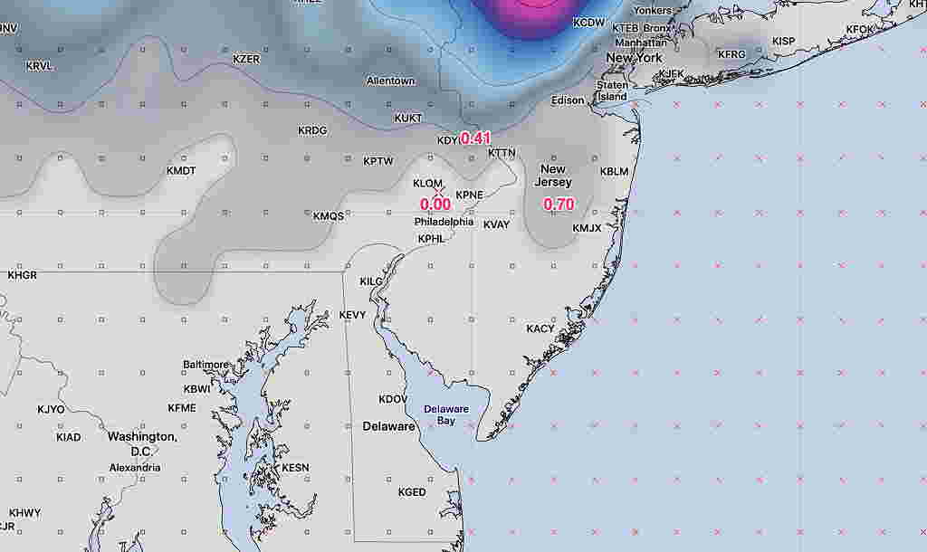
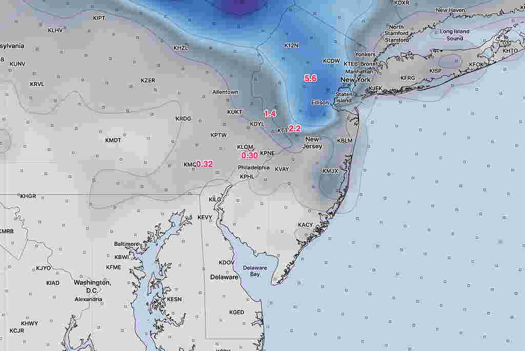
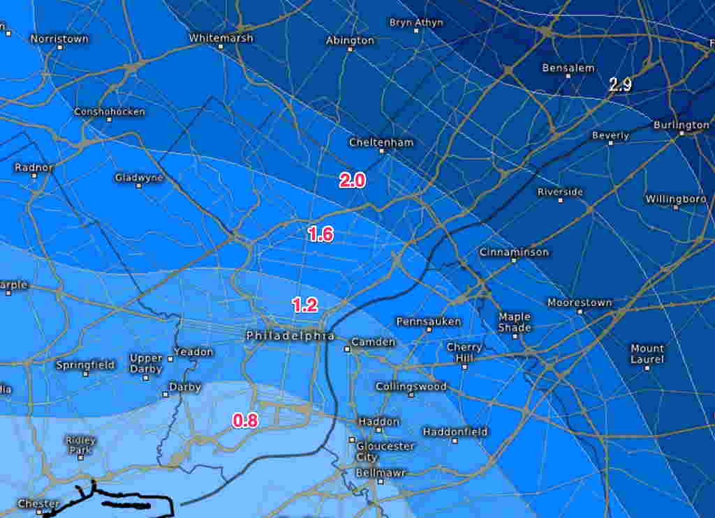
Added Snow Total Forecast Graphics:


Yes, it’s snowing out and that was expected. The forecast question I’ve been trying to address— what level accumulating snow can we expect by the end of this storm?
Last night’s 1 AM run of the models continue with the forecast of a coating to an inch of snow accumulation for our area. That’s true of the NAM, GFS and high resolution Canadian. The most recent hourly HRRR (High Resolution Rapid Refresh) also maintains a low accumulation by the end of the storm this evening.
The only exception is the ECMWF, which has changed from its last run, but still gives us 2 inches with a rapid gradient increase to our north.
It sure looks like snow will accumulate and the intensity is much more than the NAM or GFS forecast QPF values.
Let’s see how it plays out. Could all these models be wrong?? Could the Eagles lose to Miami?? Stay tuned.
The next models become available later this morning (NAM about 9:30 and the GFS about 10:38 AM) I’ll update if I can.
