
Update Sat 10:30PM — The word for Sunday is WINDY. Gusts over 30mph during the afternoon.
Previously Posted Fri 5:59 PM —
A cold front moved through Friday and it has moved to our south. A strong jet stream will be positioned directly over us on Saturday. Upper air disturbances moving through the jet winds will result in cloudiness, especially in the afternoon.
(Average seasonal high temperature this time of year for Blue Bell is 47º.)
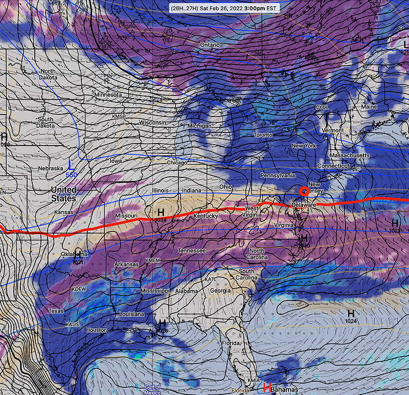
On Sunday, low pressure developing along the front to our south will have some clouds spill up over our area in the morning, but with clearing for much of the afternoon as another cold front moves through later in the afternoon.
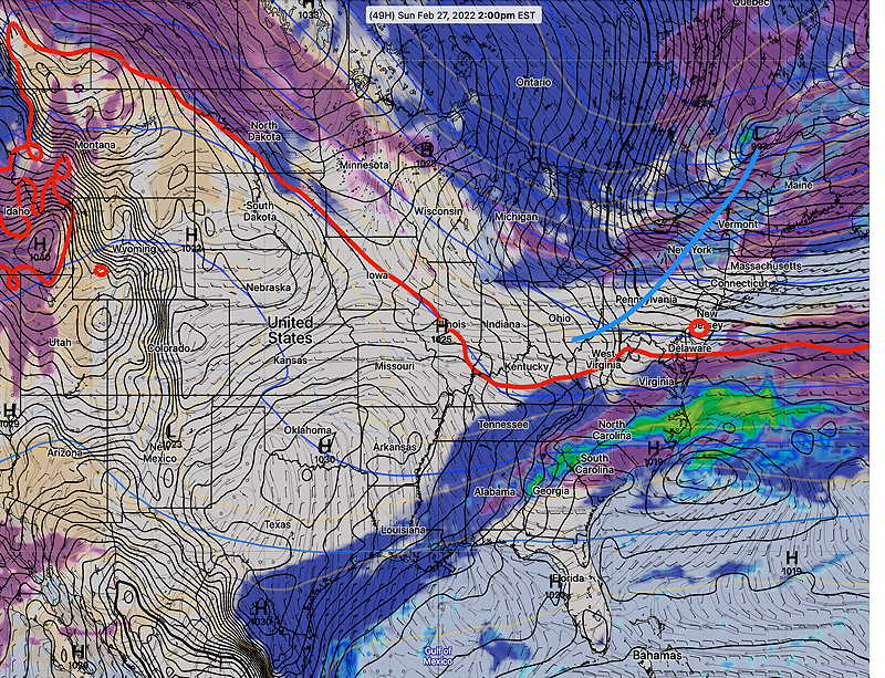
Sunday
- Some mid-level cloudiness early, then mostly sunny.
- Breezy becoming increasingly windy and gusty towards evening.
- High temp 46.6º sd 3.7º (NBM model, Blue Bell)