Fourth of July Forecast

10:30 AM Update WRF model Thurs 2:40 PM Precip forecast

[su_note note_color=”#d9f2da”]8 AM Thurs Update: Last night’s 2 AM model runs have sun in the morning, some clouds mid afternoon with showers popping up west of Blue Bell about 3 PM.

HIREF (High Resolution Ensemble Forecast) 3-4 PM Thurs for Precip

[/su_note]

[su_note note_color=”#d9f2da”]11 PM Wednesday: Tonight’s models have more sun, fewer showers for Thursday. Any showers developing are further west of Philadelphia.[/su_note]

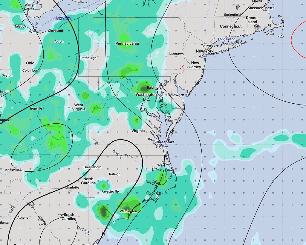
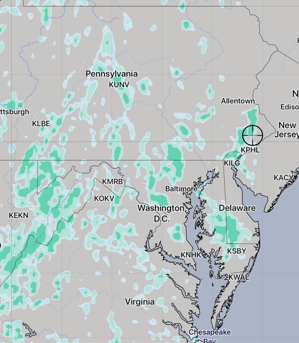
A poorly defined frontal boundary to our south will allow weak impulses to spawn showers and thunderstorms Thursday afternoon. A southeasterly wind flow will keep much of atmosphere in NJ stable and no convection or rain is expected east of Philadelphia.

My post earlier in the week had the showers developing fairly far west of Philadelphia, but the latest models have showers developing early afternoon near Philadelphia and westward. Showers are possible throughout the afternoon Thursday, but are expected to subside around sunset. It will be mostly cloudy and high temperatures will be around 90.

High Resolution Ensemble Hourly Precipitation Forecast for 5 PM Thursday

The frontal boundary to our south is expected to move north as a warm front on Friday, with increased chance of showers.

Fourth of July Outlook

So what’s the weather forecast for the 4th?

For Thursday, the 4th of July, high pressure off the New England coast will bring a southeasterly wind flow into NJ.

Through Pennsylvania, a south-southwesterly flow will bring heat and moisture. These two moisture streams will converge.

Yesterday’s models were showing considerable rain for our area on Thursday, with the convergence zone right over us.

However today’s NAM, ECMWF, and GFS have that New England high pressure system building, pushing the convergence zone to our west. With the convergence zone to our west,  the rain should stay to our west as well.

Current GFS forecast- eastern extent of rain Thursday at 5:30 PM

Despite a fair amount of cloudiness, (less cloudy in NJ) much of Thursday afternoon and evening will be dry.   High Thursday 90-92.

Things always seem to change, but right now, things are looking pretty good compared to yesterday’s model forecasts.  Stay tuned.

[su_note note_color=”#d9f2da”]BTW, tomorrow, Tuesday, looks to have some heavy thunderstorms in the early evening. [/su_note]

Sunday Weather Update

[su_note note_color=”#d9f2da”]Some cloudiness did develop mid afternoon, especially north of the city. But, it really wasn’t worth focusing on…essentially, this was a beautiful, sunny day. [/su_note]

The most recent NAM and WRF models continue to show upper air disturbances rotating through our area early to mid afternoon from an upper cyclonic flow around a closed upper low off northern New England. (The GFS does not have it this far south.)

Areas of upward vertical motion (pink-blue-magenta) and vorticity (yellow lines) at 2:30 PM today

Some cloudiness is expected about 1-4 PM from this disturbance. Widely scattered sprinkles also possible, especially far north. Skies clear out later afternoon.   High today 85-87.

So without the GFS on-board with this forecast, we’ll see how the WRF does.

Weather… and Other Things 'Up in the Air'