
[su_note note_color=”#d9f2da”]Some cloudiness did develop mid afternoon, especially north of the city. But, it really wasn’t worth focusing on…essentially, this was a beautiful, sunny day. [/su_note]
The most recent NAM and WRF models continue to show upper air disturbances rotating through our area early to mid afternoon from an upper cyclonic flow around a closed upper low off northern New England. (The GFS does not have it this far south.)
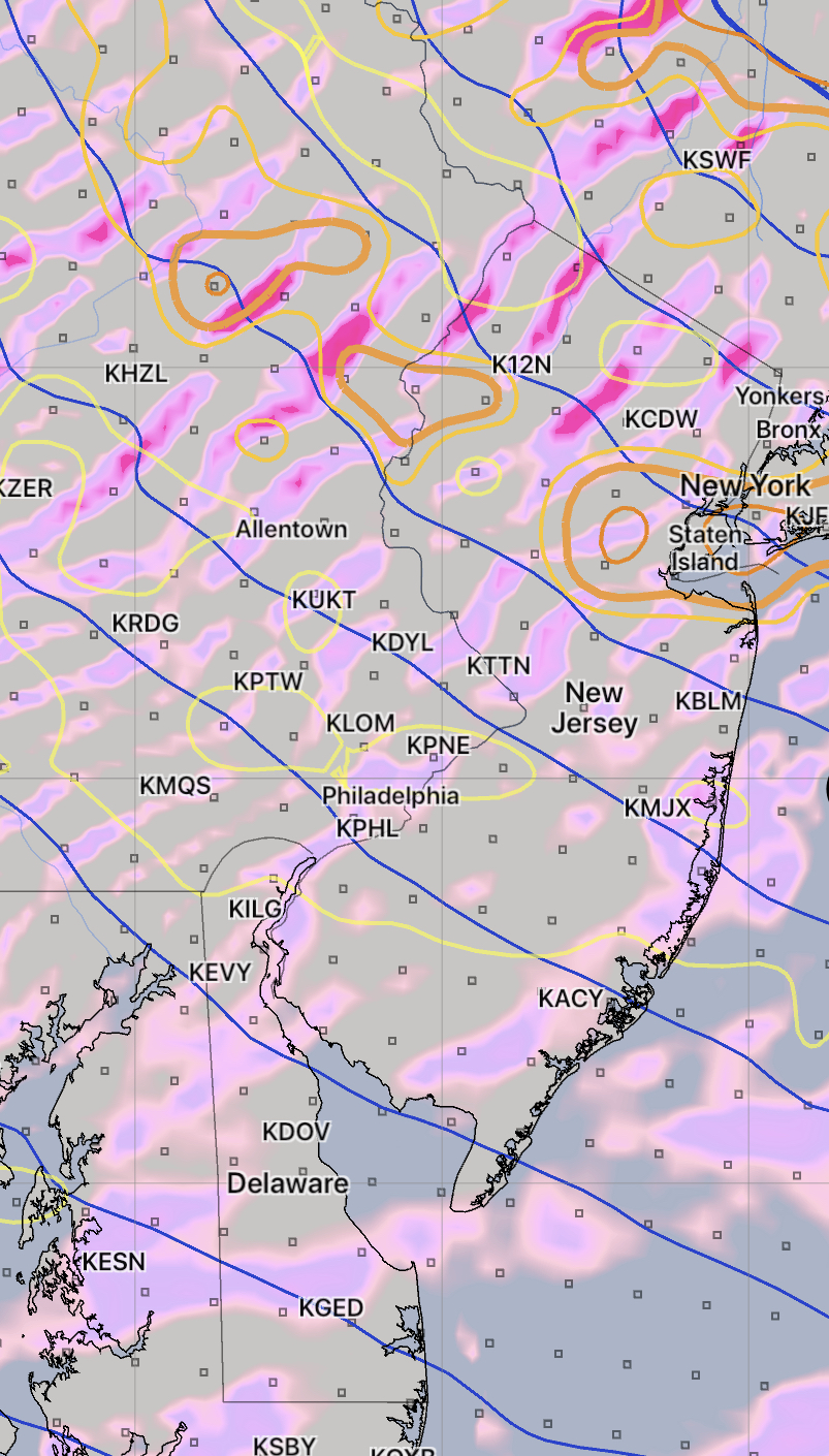
Some cloudiness is expected about 1-4 PM from this disturbance. Widely scattered sprinkles also possible, especially far north. Skies clear out later afternoon. High today 85-87.
So without the GFS on-board with this forecast, we’ll see how the WRF does.