
So what’s the weather forecast for the 4th?
For Thursday, the 4th of July, high pressure off the New England coast will bring a southeasterly wind flow into NJ.
Through Pennsylvania, a south-southwesterly flow will bring heat and moisture. These two moisture streams will converge.
Yesterday’s models were showing considerable rain for our area on Thursday, with the convergence zone right over us.
However today’s NAM, ECMWF, and GFS have that New England high pressure system building, pushing the convergence zone to our west. With the convergence zone to our west, the rain should stay to our west as well.
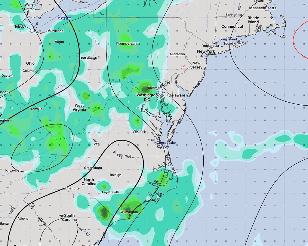
Despite a fair amount of cloudiness, (less cloudy in NJ) much of Thursday afternoon and evening will be dry. High Thursday 90-92.
Things always seem to change, but right now, things are looking pretty good compared to yesterday’s model forecasts. Stay tuned.
[su_note note_color=”#d9f2da”]BTW, tomorrow, Tuesday, looks to have some heavy thunderstorms in the early evening. [/su_note]