WEEKEND WEATHER FORECAST

Sat 05:48 PM Update — Today’s models continue with clouds for Sunday. Still much uncertainty…the Canadian models actually have sunshine breaking out around noon, while other models have it cloudy. There remains a chance of light scattered snow flurries. Total QPF is low, on the order of 0.06 inches water or less. No accumulation, up to a dusting possible, north and west. The flurries change to light rain sprinkles during the early afternoon. High close to 37º

Clouds, Some Sun Saturday, possible very light snow/rain showers Sunday afternoon

High pressure will build in for Saturday, however an upper flow will also bring in some moisture at the mid-levels of the atmosphere resulting in some cloudiness late morning into early afternoon Saturday.

GFS Pressure, Cloud Precipitation and 500 mb heights at 1PM Saturday. Arrows show path of moisture at 18000 feet. (Click on image for a larger view.)

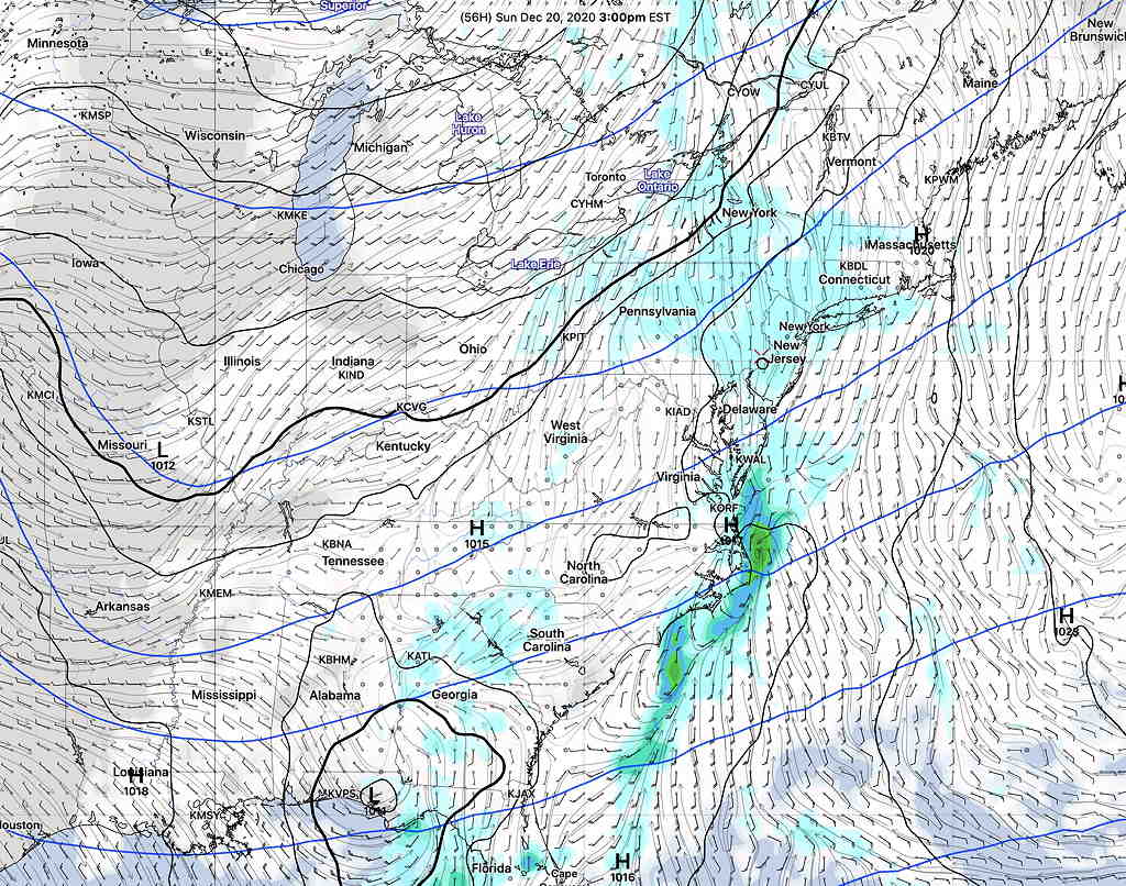
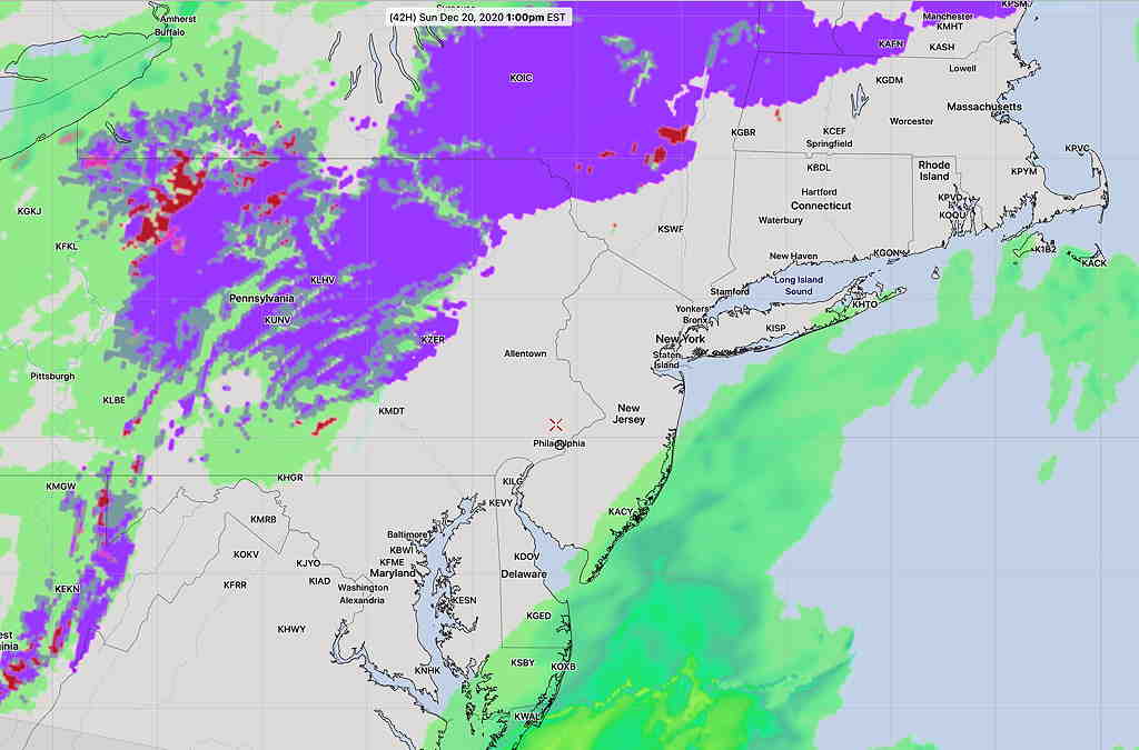
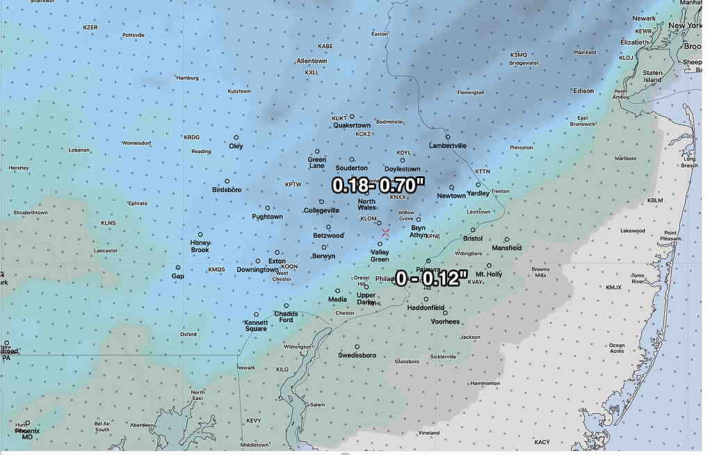
Further to the west, (also visible on the map above) is a disturbance building near Louisiana.  This system, with its clouds and precip, will approach on Sunday, but is expected to pass to the south and east of us. The precipitation shield will graze us, according to the latest models. The HRRR has us sandwiched between areas of light snow and rain. Others have us dry with breaks of sun. Others have light snow or light snow with rain.    There’s high uncertainty with Sunday’s forecast.


GFS forecast Sunday 3 PM (Click on image for a larger view.)


HRRR Snow-Rain forecast Sunday 1 PM (Click on image for a larger view.)


Model Blend total accumulating snow.   50 and 75 Percentile. (Click on image for a larger view.)


Saturday—

  • Mostly cloudy with occasional breaks of sun possible.
  • Morning low temp 13.5º sd 5.8º  (NBM model Blue Bell) — extremely high spread indicating high uncertainty
  • High temp 32.1º  sd 3.0º  (NBM model Blue Bell) (high spread!)
  • Very light to calm winds

Sunday—

  • Forecast Confidence Level- below average.
  • Cloudy, perhaps some breaks of sun during the day.
  • Uncertainty about light snow in the afternoon. Some models have a light snow falling during the afternoon. Others have nothing. Others have a mix of snow showers mixed with rain.   Little or no accumulation.
  • Morning low temp 22.5º sd 3.1º  (NBM model) Blue Bell area.
  • High temp 37.5º  sd 2.1º(NBM model) Blue Bell area.
  • Winds SSE , light 5 mph but some higher gusts to 15.

I’ll update when things clarify for Sunday.

ANY MORE SNOW TONIGHT?


Thu 01:36 PM Update —Forecast Review: Looking over the official snow totals for this past snowstorm, most models underestimated the snow totals during the early part of the storm; the gradient predicted of increasing snow north and west was either over-done or underdone.

While I had prematurely slammed the NAM for its incorrect built-in snow depth algorithms, it successfully predicted the changeover to sleet and rain about 6 PM in the city. As far as the “precipitation type” or what’s called “PTYPE”, the NAM and NAM-NEST did well.

As for snow totals, I’m not sure which model I would pick if we had to do this again. Last night’s GFS over-predicted the additional snow total after midnight.

Here are some of the official snow totals

from Wednesday night…

Wed 10:58 PM Update— The new GFS model just became available. It’s somewhat of an outlier, but it shows an additional 4-5 inches of snow later tonight in the Blue Bell area! I guess we’ll see tomorrow.


I thought I might want to wait for the GFS data to become available to make a call on additional snow tonight, but there’s enough agreement with the available 00z models tonight to make that call now.

It appears that the sleet, freezing rain and rain will continue and change back to snow. Some of that precipitation will compact down existing snow from this afternoon.

However, the new models (HRRR, RAP, NAM, NAM-NEST, HIRESW NBM) show at most, about 1/2 inch to under 2 inches additional accumulation in the PHL area and the immediate surrounding north and western suburb.

Below is the snow depth meteogram for Blue Bell, which pretty much captures the trend for additional snow and compaction for the region tonight (and it’s just a bit high already.)

RAP snow depth from 7PM to 7AM for Blue Bell.  (Click on image for a larger view.)

Snow ends before 7 AM with perhaps some scattered snow showers in the morning. Cold and windy. A frozen tundra!

Weather… and Other Things 'Up in the Air'