[su_box title=”Weather Update Monday 10:50 PM” box_color=”#defcdc” title_color=”#000000″]Tonight’s GFS just became available. QPF value about 0.38 inches water. The GFS is colder than the NAM and shows most of the precipitation falling as wet snow from PHL, west and northwest. The GFS supports my feeling that a changeover to snow might occur earlier. Snow accumulations would be 2-3 inches, especially west and northwest of the city if the GFS is correct. [/su_box]
[su_box title=”Weather Update Monday 10 PM” box_color=”#defcdc” title_color=”#000000″]Tonight’s NAM just became available. QPF value about 0.28 inches water. The models are consistent that the upper atmosphere is cold enough for snow, BUT temperatures in the lowest 5000 feet are expected to be above freezing during much of the afternoon, so the changeover in and around PHL will be about 6 PM. According to the NAM, about 1 inch of snow when it ends about 9 PM Tuesday night. I still think it’s possible the changeover to snow might start earlier with higher accumulations. The latest NBM has a mix starting between 5 and 6 PM. [/su_box]
[su_box title=”Weather Update Monday 5:10 PM” box_color=”#defcdc” title_color=”#000000″]As soon as I posted the forecast below, the 1PM run of the GFS model has raised the snow totals to 3.5 inches. Read the rest of post immediately below to see the context. [/su_box]
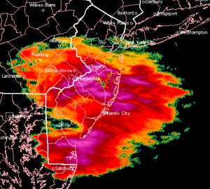
So, I’ve been trying to get a handle on the rain –> snow precipitation that is forecast to accompany an arctic front passage late Tuesday afternoon.
Let’s first go with the models and their algorithmic snow predictions. The NAM has a total QPF of 0.28 inches water falling as rain changing to snow before ending in the evening. The GFS maintains the highest QPF of 0.53 inches water falling as rain changing to snow before ending. The European ECMWF has a QPF of about 0.40 inches water. The National Blend of Models (NBM) which has been fairly accurate recently has a QPF of 0.32 inches water.
So how much snow?
The uncertainty with this weather event is determining when the changeover will occur. Most of the models have the rain -snow changeover occurring late in the period, about 6-7 PM, after most of the precipitation has fallen as rain.
The models are showing a total snow accumulation of about 1 inch, possibly 2, in the Philadelphia area, somewhat more west and northwest of the city. I think that’s a good guess, especially since the initial surfaces will be wet, melting some of the first snow that falls.
I hate to go against the models, but based on the thermal profiles of the NAM and GFS which are cold enough for snow except near the surface, I think it’s a possibility that the changeover to snow may occur earlier than the preconfigured snow algorithms are currently forecasting, raising the amount of accumulation. (I’ve also noticed that the GFS predicted surface temperatures were too high today. Add dynamic cooling and we would get more snow.)
So you can expect the 1, possibly 2 inches, but don’t be surprised if another inch or so falls, if the the snow changeover occurs earlier than the models forecast.
I guess we’ll see … that’s what makes this so interesting. Stay tuned!
[su_note note_color=”#d9f2da”]One has to wonder why there’s no “flash-freeze” hysteria with this snowfall. If anything, this event will have a lot more icing than the last one.[/su_note]

