For a few days, I’m going to move away from my regular ‘every forecast event gets a post’. This posting will share miscellaneous thoughts about the week’s weather and model forecasts. Freeform. The most recent will be on top.
Friday
9:03 AM: The HIRESW heavy rain prediction was far off.
From last night’s PHL NWS discussion:
“Guidance for the most part dissipates this activity as it approaches our area, however, high-res guidance has not been at its best the last couple of days.”
That about sums it up.
Check back later for my regular Weekend Weather Forecast
Thursday
10:57 PM: Wow, tonight’s HIRESW-ARW some pretty heavy rain moving through 1-2 AM. If that happens, we’ll have three days in a row where the 24+ hour forecasts were better than the newer daytime forecasts. I guess we’ll find out.
7:08 PM: Today’s models are emphasizing very high CIN (convective inhibition) due to very warm air aloft. Not much of any thunderstorms or rain expected in our immediate area despite the earlier model forecast.
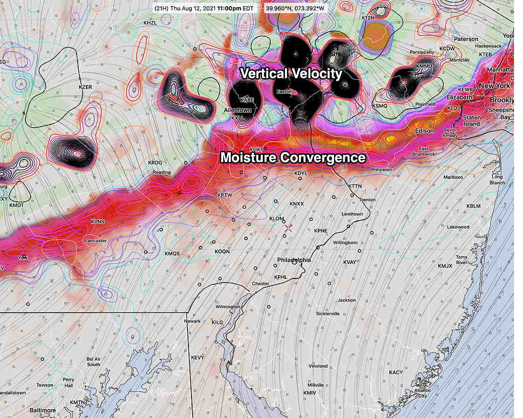
8:23 AM Last night’s models have a somewhat different scenario for the thunderstorm possibilities this evening. The main ingredients, horizontal moisture convergence and upward vertical velocity, move into our area in the 11 PM to 1 AM time frame. Much of the energy (as expressed in vertical velocity) dissipates as it moves southward. We may not get any storms, or they will be diminished when they get here.
Some models (HIRESW-FV3, HREF) have some isolated storms possible in the 5-6 PM range.
Wednesday
6:53 PM The latest RAP model has the storms making it into the city.
6:02 PM Most models have the thunderstorms just to our west decreasing in intensity as they approach Philadephia, due to a reduction in upper air support. The latest GFS does have some rain making it into Philadephia from the remnants. (Then again, last night’s storms were not forecast by the models.)
8:42 AM As was the case yesterday, the models from the prior night showed showers and thunderstorms developing in the evening. Similarly, the morning models don’t have the showers making it into PHL this evening. The model parameters are similar, so we’ll see if showers develop this evening, or die out to our west. (CIN values are higher today, so the storms may die out.)
Tuesday
10:27 PM Tonight’s models have more thunderstorms late Wednesday afternoon and evening
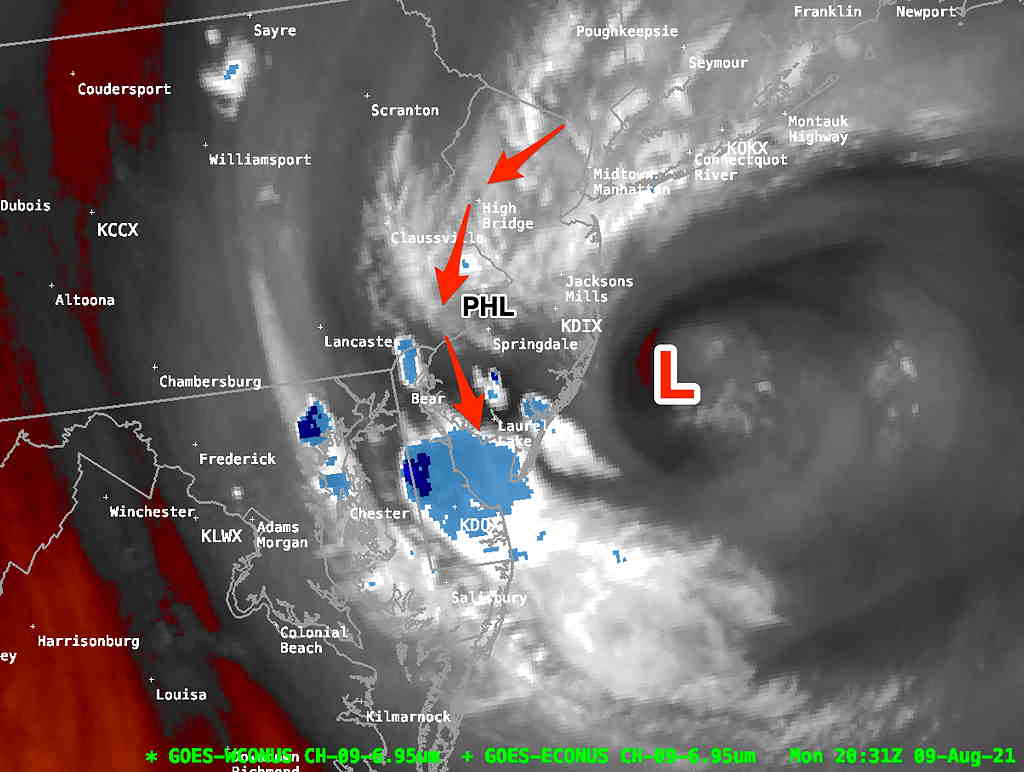
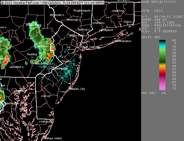
6: 54 PM Last night’s models had predicted showers and thunderstorms for early this evening. But today’s models showed nothing in this area for this evening. But here’s the current radar around 6 PM—
As a routine lark, I like to go back to all the models that download automatically to my server daily to see if there’s any model that had have predicted this. Really no model predicted this organized line of storms. I can’t explain this.
More storms approaching Lancaster county, may make it in here later.
Latest NBM has high temps 96+ on Thursday!