
From earlier Wednesday—
Today’s forecast of snow flurries was always on the edge of not meriting a blog post. But I wanted to keep my skills honed, so it’s been the subject of my recent two posts.
I’m ready to bring this to a close. Today’s models continue with the trend of the clipper system coming through, although none of the models just available show this current radar situation at 9 AM (which could be showing precip evaporating before reaching the ground).
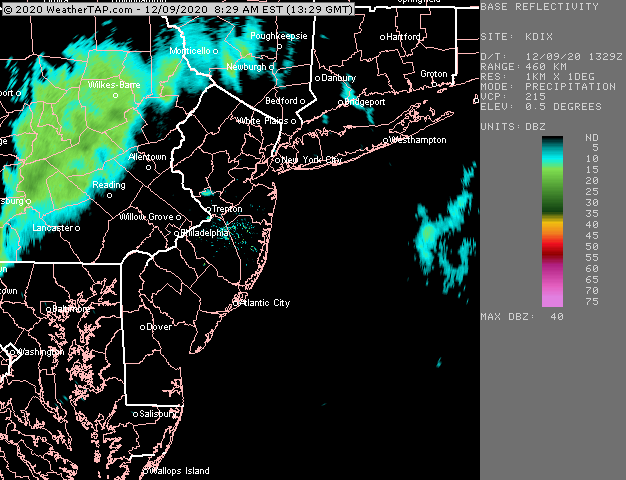
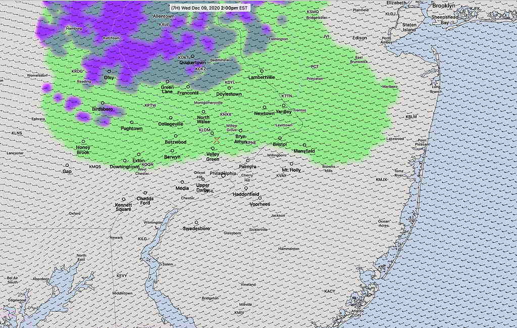
Indeed, this morning’s models don’t show any precipitation reaching us until 12-2 PM, and being extremely light, mostly north of us, with the lowest layer of the atmosphere too warm for even snow flurries.
So, there’s a disconnect right now with current conditions and model forecasts. The non-event of possible light snow flurries could just become light rain sprinkles or just be a total non-event. Let’s see what happens.