Sat 11:31 AM Update — Some models still have those clouds coming in about 1-2 PM. We’ll see!
Sat 03:03 PM Update — The clouds came in at about 2 PM.
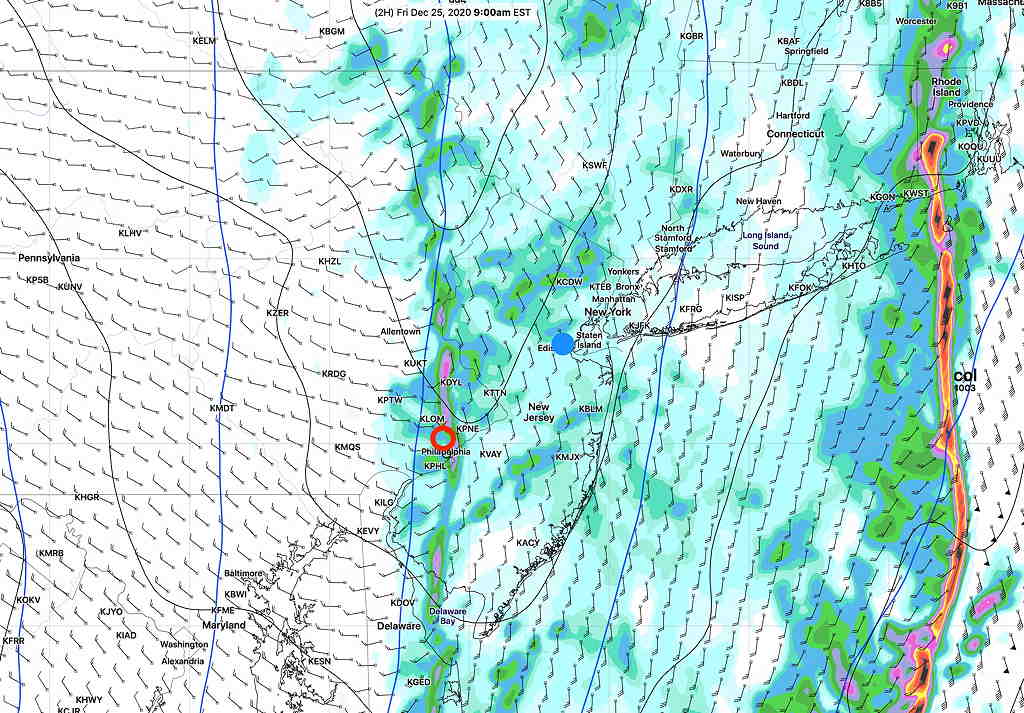
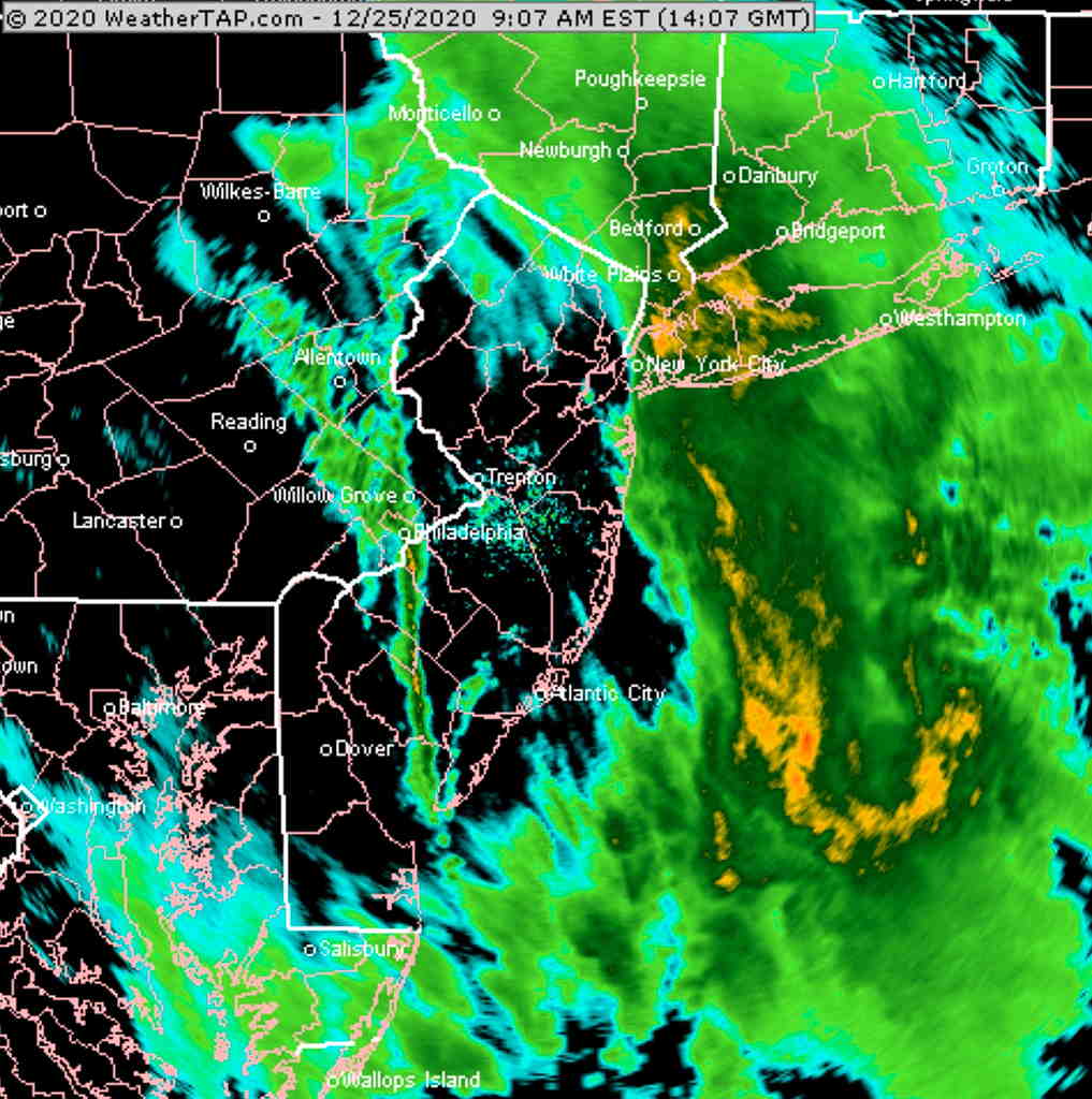
The cold front passed through this morning and the cold air has moved in Friday afternoon and evening.
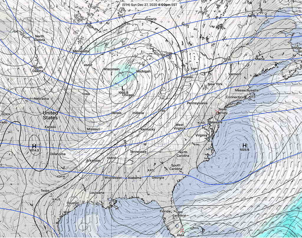
The dip in the jet stream allowing cold air to move in will relax and the upper air circulation will move from a trough to a ridge on Saturday.
Several models have sunny skies for Saturday, but tonight’s HRRR and RAP models just becoming available show considerable cloudiness on Saturday, especially from Philadelphia and northward as an area of moisture and an upper air “vorticity” moves over us from the south.
I have lower than usual confidence about Saturday’s cloud cover, but I’m going with sunny early, then considerable cloudiness on Saturday, based on the HRRR and RAP models. It will be cold and somewhat windy mid-day with gusts to 20mph. High temp 30.4 sd 1.4º(NBM)
Sunday will be mostly sunny through thin, high level clouds from an advancing low pressure system in the Midwest. High temp 39.4º sd 1.6º (NBM model). Winds light.