
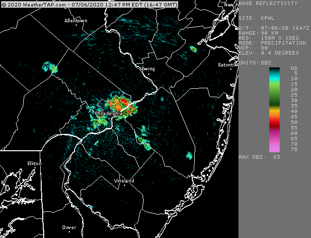
Radar image courtesy of https://www.weathertap.com
Considerable development 30 minutes later—

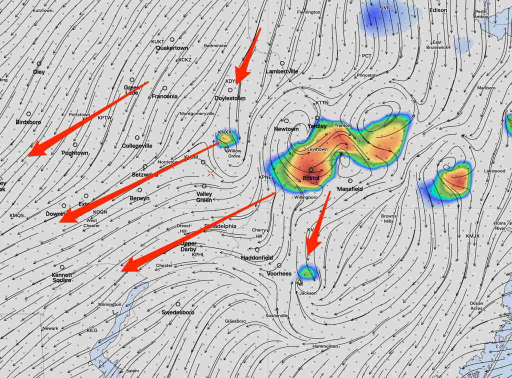
Radar image courtesy of https://www.weathertap.com
From earlier this morning…
The models from last night and this morning show thunderstorms developing over central NJ near Bucks County about 1-3 PM today and moving from northeast to southwest! Some of these thunderstorms will have very heavy rain!
Most areas near Philadelphia will have showers and thunderstorms, but some areas which have been dry over the past few weeks may again miss some of the heaviest rains.
(There’s a negative feedback loop where there are existing dry conditions. When soil moisture is low, it negatively affects the development of thunderstorms. Dry begets dry!)
Storms will be with us through 7 to 8 PM