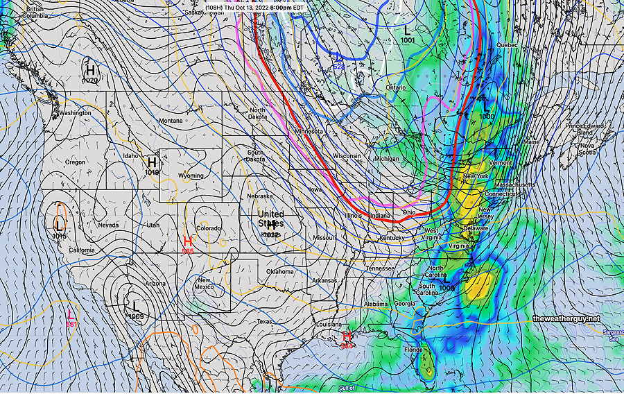
Update Fri 10/14 @ 9:39 AM — The clouds this morning were predicted by last night’s models (I hadn’t done a forecast for today.)
The clouds should dissipate by noontime.
A “closed” upper low is over Lake Superior. We’ll be getting the mild upper flow around the low for much of the weekend.
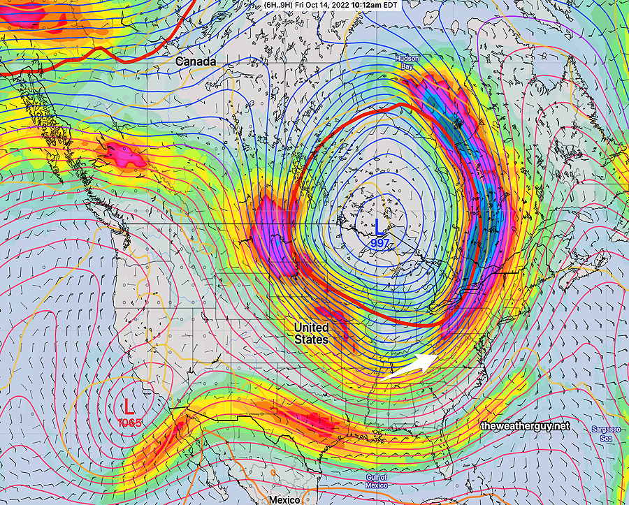
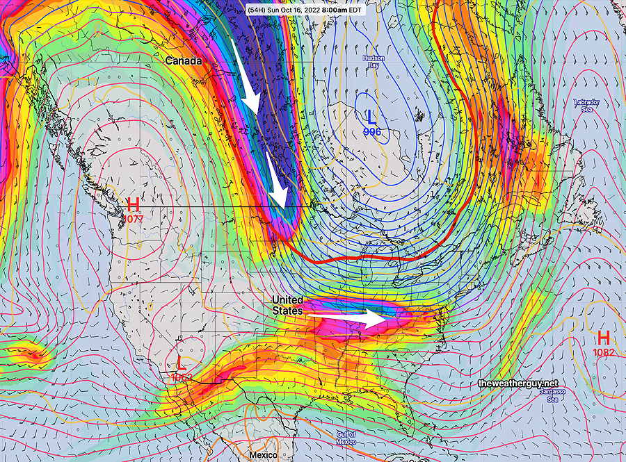
Jet stream by Sunday—
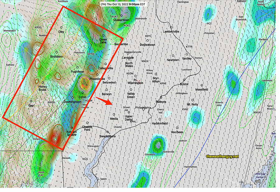
Update Thu 10/13 @ 7:59 PM — The system has slowed down somewhat due to the low pressure development and storms are ‘training’ south to north in the area of the red box below. The NWS issuing a flash flood warning for that area. Rainfall amounts of 1-3+ inches have fallen so far in that area.
Update Thu 10/13 @ 5:26 PM — As forecast, low pressure has developed ahead of the front and will move up over us early this evening. The latest HRRR shows strong dynamics (high vertical shear and high helicity) moving through the western suburbs about 9 PM—
Update Thu 10/13 @ 7:33 AM — Showers move in early morning, then periods of rain increasing in intensity towards evening and early evening. Precipitation totals are now in the 0.4- 0.8 inch range with a few locally higher amounts.
Main front moves through between 7:30 -10 PM with very windy conditions and a fast burst of heavier rain. Severe thunderstorms not likely. (Winds gusting to 30-35 mph with front.)
Update Wed 10/12 @ 5:51 PM — The models have backed off considerably from forecasting wild weather for Thursday. Precipitation totals are now in the 0.5- 0.8 inch range. Winds will be gusting about 30 mph at times. Some thunderstorms are possible but they’re not going to be severe. Best chance for thunder is after 7 PM. Some rain is possible as early as Thursday morning, Heaviest rain late afternoon and especially the evening hours.
Complicating the forecast is the expected development of low pressure along the front which may move much of the heaviest rain off the coast. It’s certainly “confusing” the forecast and making some forecast specifics low confidence—
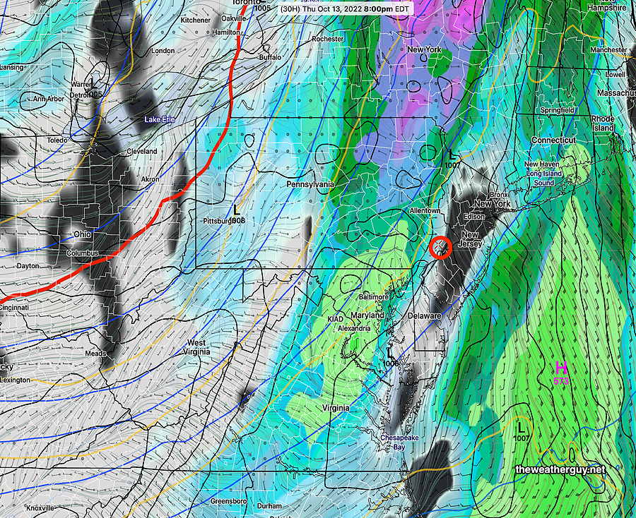
Strong Cold Front Passage Thursday
Update Wed 10/12 @ 8:13 AM — It appears that some rain may move in earlier on Thursday than forecast yesterday. Some showers in the morning now expected. Strong winds and rainfall amounts 1-1.75 inches are likely with this system. I’m not so sure about severe thunderstorms. Updates later.
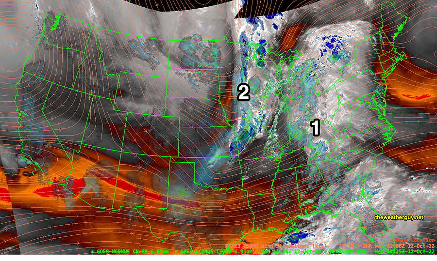
Update Tue 10/11 @ 10:13 AM — A weak system will bring cloudiness in Wednesday afternoon ahead of a strong cold front that will move in and affect our weather Thursday afternoon through evening. The latest NBM is forecasting about 2 inches of rain by late Thursday night.
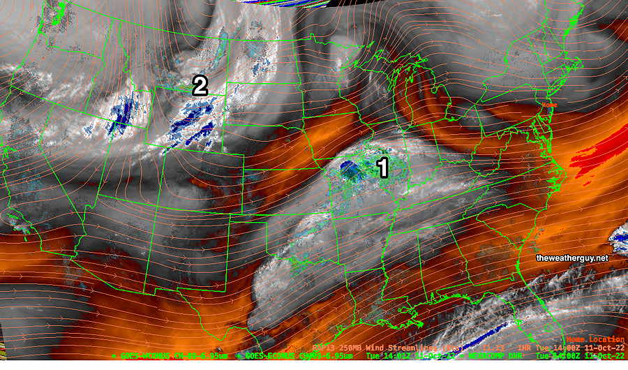
Tranquil until Thursday. Then it gets interesting
A rather strong cold front is forecast to move through Thursday evening.
All the ingredients for some ‘interest weather’ appear to be in play for Thursday afternoon and early evening— elevated CAPE, elevated helicity, elevated vertical shear and a strong jet streak presence. (All the ingredients that we never really saw for much or all of our dry summer.) Stay tuned.
Previously Posted Sun 8:01 PM —
A fairly tranquil weather period early this week as high pressure gradually moderates in temperature. Fair weather through early Wednesday. Wednesday looks to be the mildest day, but some cloudiness moves in during the afternoon.
Of interest is a rather strong cold front that will move through Thursday with rain and maybe even some thunderstorms—
