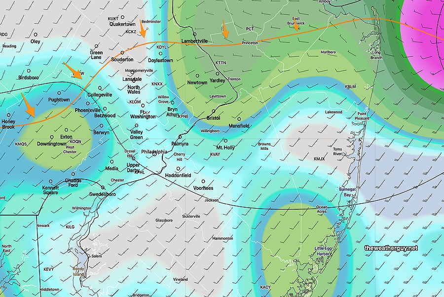
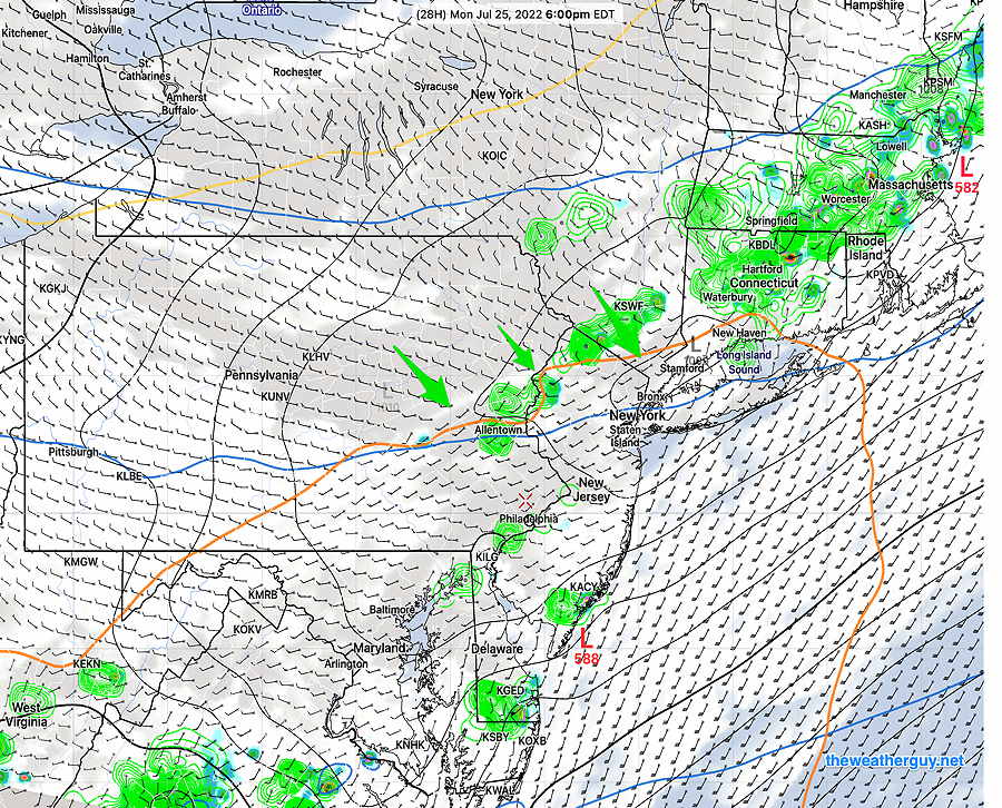
Tonight’s showers not a drought-buster
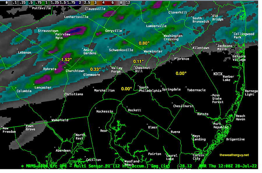
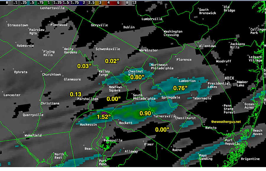
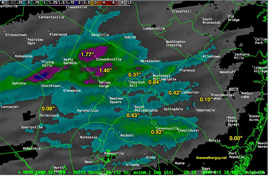
Update Fri 07/29 @ 7:44 AM — Last night, our area received varying amounts of much-needed rain. Here’s the amounts we received Thursday evening according to the MRMS—
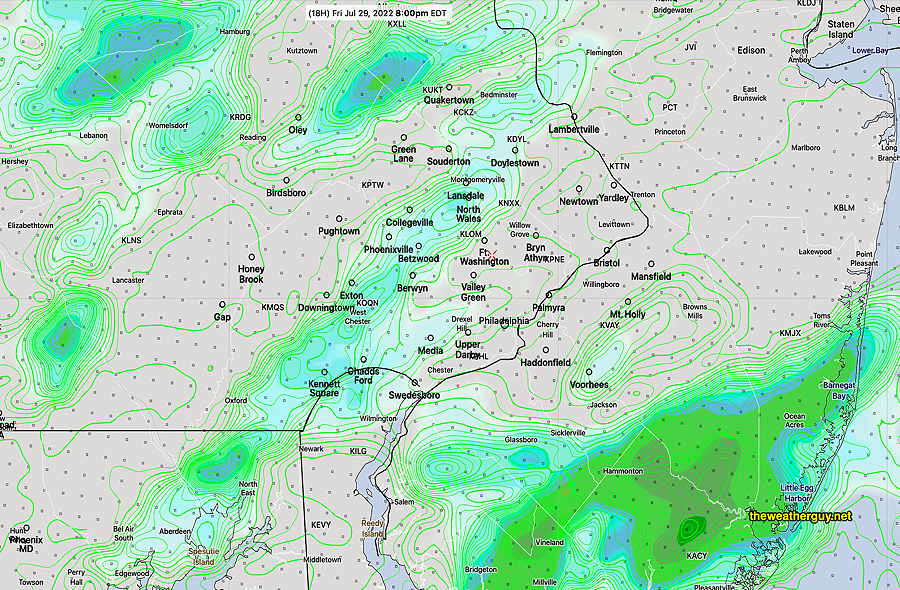
For this evening (Fri), the models are less enthusiastic about additional rain. The HRRR has much of the area with just spotty amounts, many areas with no rain. The HREF forecasts some rain, but scattered with light amounts. Not a drought-buster this evening.
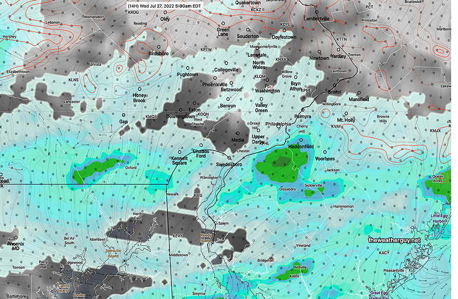
The HREF has any showers/thunderstorms beginning this evening around 5-6 PM (a few isolated showers before then) and continuing through 11 PM or so.
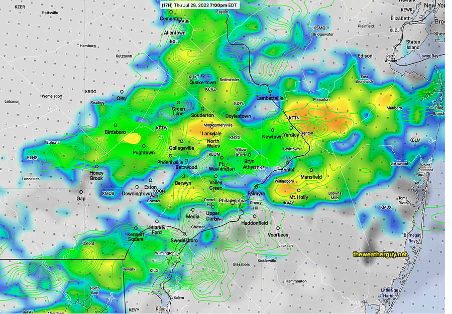
HREF shows light, scattered showers—
My Weekend Weather Forecast will be posted this evening.
Show More
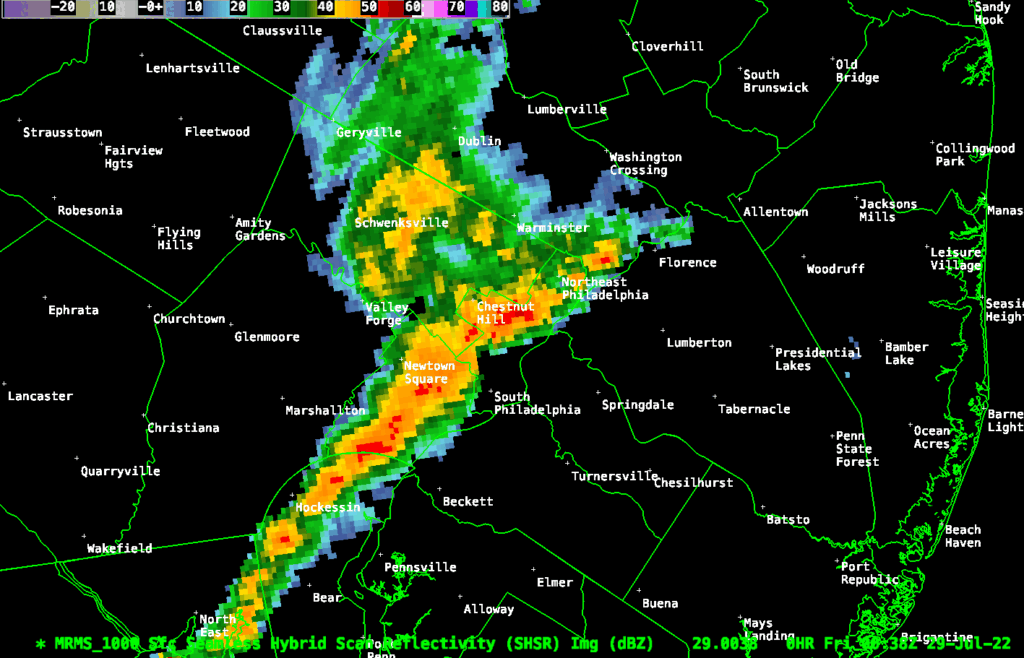
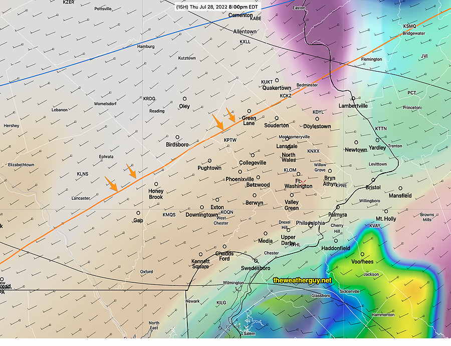
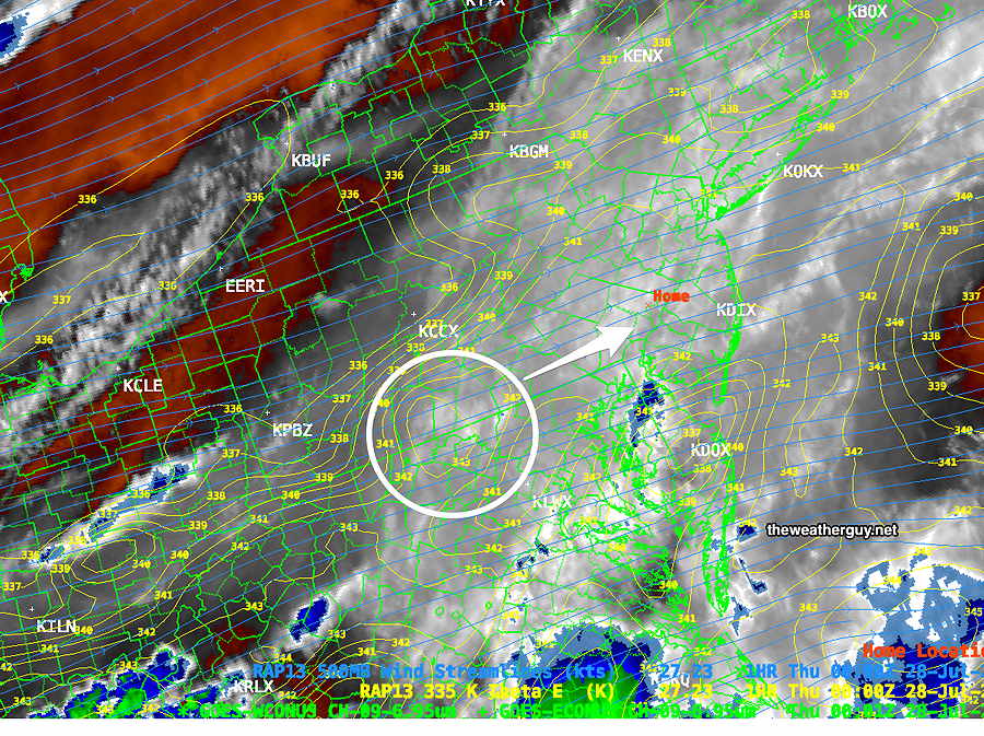
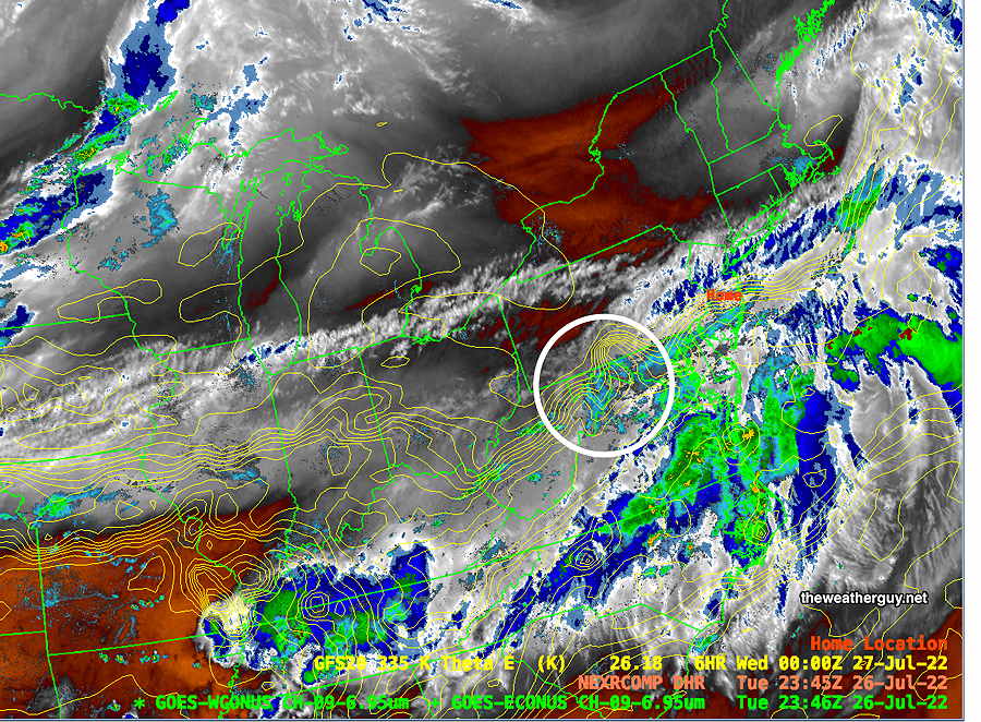
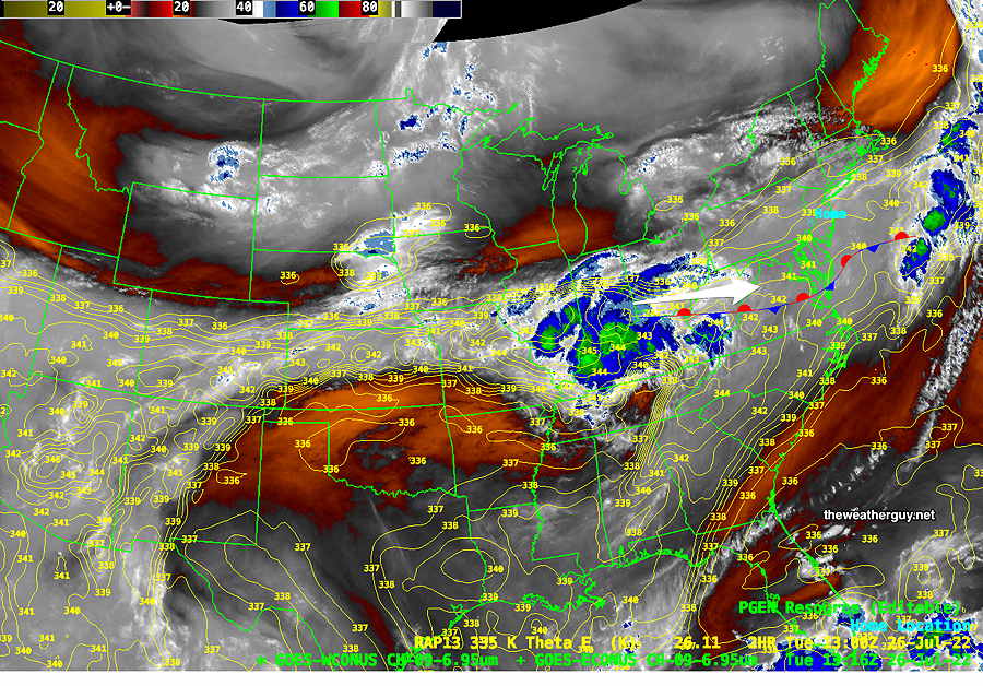
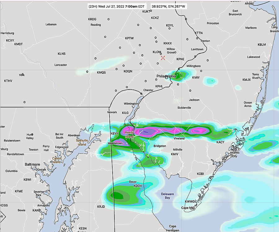
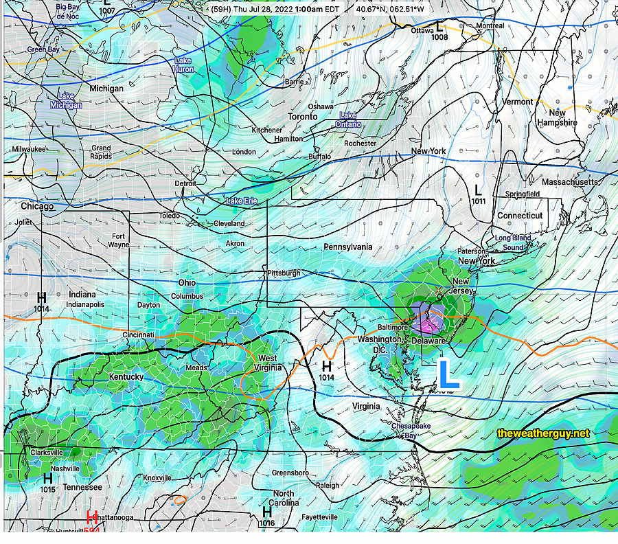
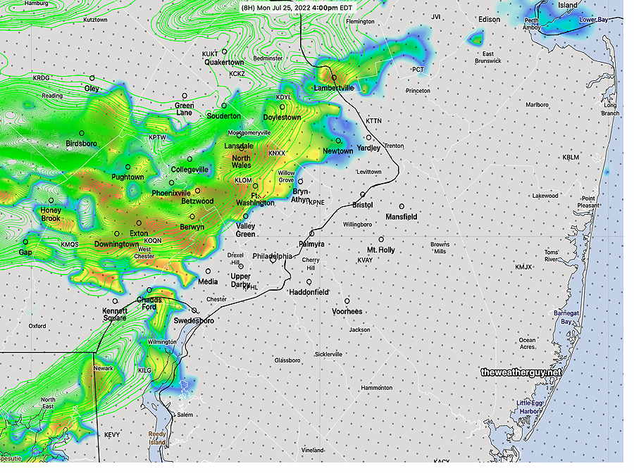
Much more [needed] rain than had been forecast and some of the storms are blossoming in Philadelphia. The activity is still expected to dye off as it moves into NJ as vertical shear values drop off significantly. Update Thu @ 9:14 AM — We did have some showers shear off to the northwest last night, as some models had forecast— The models are advertising another round of showers and storms Thursday evening (tonight) about 6 PM- 9 PM. These showers are more likely to make it through more of Philadelphia before they diminish over NJ. Latest HREF forecast for 7 PM this evening— I am a bit more confident that some accumulating rain will make it into Philadelphia and immediate areas, although amounts may be small, variable and very non-uniform. Why am I more confident? First, several models have this forecast, including the model blend (NBM). A new model under development (FV3 LAMDAX) correctly predicted last night’s showers and it is predicting the showers making it into Philadelphia. Predicted vertical shear values are somewhat higher tonight in our immediate area as well. Finally, the 576 thickness line is flat and is no longer anticyclonically curved in our area as has been the case for several weeks now — Working against the chance of rain is the continued low soil moisture and the relatively weak vertical forcing of the trigger for tonight. Update Wed @ 8:13 PM — Not much happening. The dry spell continues and the models are over-forecasting rain in western PA as I write this. Several models have some showers developing in our area around and after midnight. Current water vapor imagery shows weak disturbances to our west— While some models have showers for us between midnight and 5 AM, the HRRR has them falling apart as they approach Philadelphia. I wish I could be confident in forecasting another 0.10 inches of rain tonight, but I’m not. The dry spell (perhaps “mini drought”) has played havoc with the model forecasts over past weeks. Rainfall has been consistently over-forecast by the models. There’s a front moving through Friday afternoon to clear out the weekend. The latest GFS has little to no rain for the Philadelphia area, while forecasting some for western areas and parts of NJ. Updated Tue 9:46 PM — Tonight’s models keep any light showers well to our south. The dryness continues. Revised Update Tue @ 8:29 PM — A weak wave in West Virginia along the stalled front will give us a chance of very light scattered showers towards daybreak Wednesday especially south of the city— Very light precip (0.10 inches or less) is expected with this disturbance. Again, most of the rain will be south of us. Another may affect us early Thursday morning. Update Tue @ 9:30 AM —There’s a stalled (stationary) front to our south. Low pressure waves will develop in the Midwest will move along it to our south. Precipitation from one wave will mostly pass to our south early Wednesday morning— Update Mon @ 8:37 PM —The front that passed through Monday afternoon will stall to our south. Low pressure is expected to develop along this front and bring a chance of rain late Wednesday evening into Thursday morning. Not a sure thing, since the forecast for this time period has changed several times. Update Mon @ 5:48 PM — Most areas did not get very much rain today. In this pattern, “dry begets dry”. The current MRMS shows the actual rainfall we received in the area— It will take a large storm (hurricane or tropical storm) to change the current pattern and break us out of this dry spell. Revised Update Mon @ 11:20 AM — Latest NAM-NEST has a line of storms moving through 3:30-5 PM. Cranks out 0.8+ inches of rain in some areas. Wouldn’t that be good! The HIRESW has the line moving through as early as 2 PM Update Mon @ 9:30 AM — Based on the latest ECMWF model just available, I’m concerned that we will be disappointed with the amount of rain we get today, despite the forecast for heavy thunderstorms. The ECMWF has only 0.2 inches of rain falling (Blue Bell) It’s rare that I hope I’m wrong about a forecast. This is one of those times. Updated Mon 8:45 AM —Last night’s models from 2 AM (06z) explain last night’s uncertainties and differences in the timing of the showers and storms today. The showers/storms (if any) are forecast to come in two batches. The first batch (as forecast by last night’s RAP and ECMWF models) will come through scattered at 1-2 PM. The front is expected to slow down and eventually become stationary after it slowly moves through. The second batch will result in weak low pressure developing along the slowing front, with more showers and storms between 7 PM and 11 PM. The 06z NAM-NEST shows rainfall amounts as little as 0.4 inches of rain and as much as 1.5 inches of rain (in some lucky areas). This type of two batch forecast occurred with a frontal passage in June, but the second batch was a dud, leaving us wanting for more rain. Updated Sun 11:02 PM —Tonight’s models are having a rough time with tomorrow’s forecast. The RAP and ECMWF have showers as early as 1 PM. The NAM-NEST has showers and thunderstorms as late as 7-8 PM. The three versions of the HIRESW are all different; the HIRESW-FV3 has no rain for immediate Philadelphia area, with all showers passing to our north and south. I’m leaning towards showers/thunderstorms between 2 and 6 PM with rainfall amounts on the low side. A low confidence forecast leaning towards the HRRR and HIRESW-FV3. We need the rain. I hope I’m wrong. Previously Posted Sun 8:24 PM — For several weeks now, I’ve noticed a trend towards very dry conditions here. I first discussed it here and then put together a more complete discussion here. I’m hoping I’m wrong about this trend. Tomorrow, Monday, may put it to the test. A cold front will move through between 2 and 7 PM Monday. Based on the usual parameters of thunderstorm development, tomorrow’s setup would ordinarily provide some heavy thunderstorms and heavy rain. We have an approaching cold front, high CAPE values (~2800-3000 j/kg), high PWAT values (2.1″) and decent areas of vertical lift. What’s missing is medium to high shear and reasonable soil moisture values (which are thought to provide positive feedback for thunderstorms.) The models are predicting unimpressive accumulated rain for this frontal passage. The forecast average quantity of precipitation falling is only about 0.3-0.6 inches of rain. No torrents of rain here tomorrow. Even more concerning…we may have even less rain that that. This afternoon’s HRRR and Canadian models have very little rain falling in the immediate PHL area— Some models have the ridge eroding enough for showers to pick up in NJ. Some have the entire area of rain diminishing as it moves into Philadelphia and eastward. I guess we’ll see tomorrow
