
Our seemingly endless string of perfect weekend weather may be ending this coming weekend. Weak high pressure will allow a southwesterly flow of warm, humid air over us, as an upper air trough tries to build down from Canada. The interaction of these two flows will result in instability, cloudiness and showers, especially during the afternoon and evenings. (In a previous posting, I thought the upper trough would center over us giving us cooler weather, but it appears that we will stay on the eastern side of the trough for now.)
Saturday looks to be the better day, as the upper trough will be further away. Expect a fair amount of sunshine with the cloudiness. Much of Saturday should be dry. But with the the upper trough closer on Sunday, expect more showers and clouds, especially in the afternoon and evening.
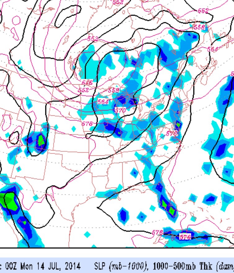
The trend of unsettled weather likely extends Monday into Tuesday.
Sat 7/12: Partly cloudy/partly sunny, seasonably warm and humid. High 87.
Sun 7/13: Mostly cloudy, some sun possible with a good chance of showers especially during the afternoon. High 88.