Don’t let the early sunshine fool you today. Rain is on the way.
Trying to pin down the onset of rain in PHL —. The NAM and the NAM-based HRRR has scattered shower activity as early as noon with more organized rain by 2PM and heavy rain by about 5 PM. The GFS is a bit slower with the rain, starting about 2-3 PM and heavy about 5-6 PM.
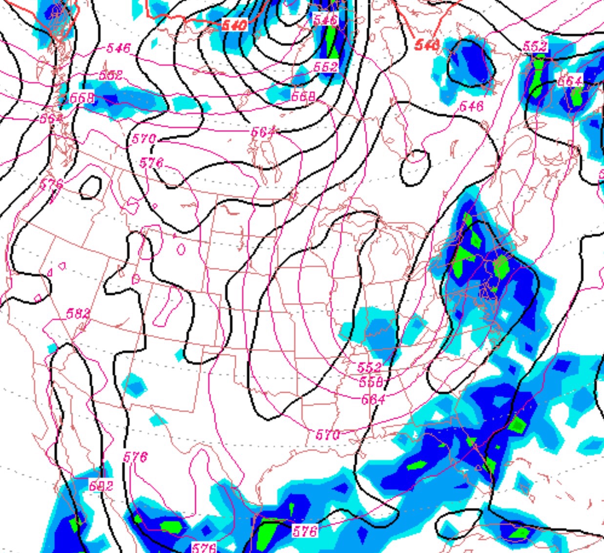
A deepening upper air trough will “pinch off” into a closed low to our west late Saturday. Low pressure developing in the Appalachians wil bring rain to our area on Saturday. On Saturday, rain starts as early as noon and definitely by 2-3 PM and becomes heavy by late afternoon and evening before tapering off Saturday night. It will be humid with high temperatures around 77.
The closed off upper low will affect us on Sunday, which means a highly uncertain forecast. The GFS model has an area of rain staying out over the ocean, with our weather being dry but with a mix of low clouds and some sunny breaks possible during the afternoon. Unfortunately, the models do poorly with the placement of precipitation around closed lows, so we could have partly sunny skies or even showers. Will try to fine tune this later Saturday. Depending on the amount of sun, it could be 72-77 as a high temperature.
This weekend’s weather has been even more stellar than had been forecast. High pressure built in from the NE even more than expected and the forecast of a humidity increase did not occur. Dew points have been in the 40s today and our high temperature of 85 felt extremely comfortable.
The GFS is still predicting an increase in humidity and temperatures for Monday, Labor Day. High temperatures are expected to hit 90, but dewpoints expected to remain in the somewhat comfortable lower 60s.