STORM UPDATE

A quick review.  This has been an interesting storm.  As far as QPF predictions went, the NAM was superior to the GFS,  both with the previous snowfall Sunday night and with last night’s light accumulation.   We didn’t get the 0.35 inches of water forecast by the GFS last night.

Another bias this storm seemed to confirm:  the “off-hour” runs of the GFS and the NAM, (the model runs done at 1AM and 1PM eastern time),  should really be ignored.  They often complicate rather than clarify the forecast.    Some of the back and forth with the forecast could have been avoided by ignoring the off hour models.

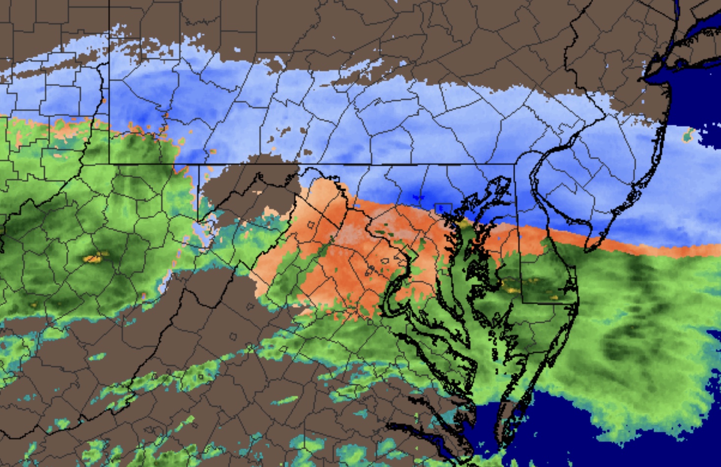
The new National Blend of Models  (NBM) also did well, especially with forecasting precipitation type- snow vs sleet vs rain.  (PTYPE).

In my neck of the woods, we had less than 1 inch of mixed precipitation accumulate.  There’s a mix of light snow, rain and a bit of ice pellets right now and that should transition to sleet and rain by about noon.    Temperatures remain near 30 and below just outside of the city and should rise above 32 mid day.

The latest NBM shows a transition to all rain about noon to 1 PM here. (gridpoint- Blue Bell).  Later transition will occur further north and west.

Rain, heavy at times,  continues until after midnight tonight.

WINTER WEATHER UPDATE – MONDAY

[su_box title=”Late Afternoon Update” box_color=”#defcdc” title_color=”#000000″]A quick look at the afternoon NAM and HRRR suggests the snow will be very light tonight.  The NBM has snow starting about 8-9 PM, but the latest NAM holds it back even later.

The HRRR and RAP have about 1-2 inches of snow by daybreak here, before the changeover to sleet and some freezing rain about 7 AM. The sleet may be heavy for about 2 hours, then heavy rain.  As for wintery precipitation, this storm will have the biggest impact in the (far) northwest suburbs.  I’ll update this evening.  [/su_box]

from earlier today:

The latest NAM and GFS data has become available.  Both models have returned to their earlier predictions of having the precipitation suppressed to our south for the balance of the day by cold air that is building in from the northeast.  So cancel that snow for the daytime hours.

Both models maintain a very cold low level flow from the northeast, while upper winds bring warmer temperatures aloft.  A complicated forecast.

For Philadelphia and immediate suburbs:   Both models have the precipitation moving back to the north Monday evening.   The NAM and GFS has snow returning northward to our area between 8 and 10 PM tonight.   Depending upon your model of choice, about 2-4 additional inches of snow will fall tonight before 5-7 AM Tuesday.

Temperatures at critical levels of the atmosphere will rise and cause the precipitation to mix with and fall as sleet.  This should happen between 5 and 7 AM Tuesday morning, but somewhat later in the far northwest suburbs. 

Sleet will fall in the early morning and mix with and change to freezing rain, and then all rain by about noon.   There is the possibility that this transition to rain may be delayed, especially in the far northwest suburbs.

Heavy rain for the balance of Tuesday.  Total QPF for this storm will be about 2.0 inches of water, falling as snow, sleet and rain as outlined above.

Updates later this evening.

WEATHER UPDATE

Things have changed…..So, we had the approximate predicted snowfall last night, with snow coverage further north than predicted. However, it doesn’t  appear to be ending early morning, as has been predicted last night.

While we slept, the 1 AM run of the models changed their tune about a persistent band of snow that originally was predicted to be pushed to our south.   It has now set up shop over us.

Radar
Radar as of 7 AM Monday morning, courtesy of WeatherTap.com

Some of the statistical models suggested this yesterday, but most missed it.

An additional QPF (based on the 1 AM runs) of 0.12 inches water may fall as additional snow today.  So an additional 1.5 inches of snow is possible during the daytime hours on top of what we have.

The radar image above shows the general area where the snow will fall today.

Things will change tonight with the approach of the main low pressure system.  Already, the 1AM model runs suggest additional warming in the upper atmosphere that was not predicted earlier.

I’ll update later this morning, after the latest model runs have become available.

Weather… and Other Things 'Up in the Air'