As often happens with the afternoon “off-hour” runs of the models, the forecast can be pushed off course. Such was the case with this afternoon’s NAM. One of these days, I’ll stop looking at them.
Tonight’s latest NAM and GFS models have become available. The trend is towards colder temperatures and higher QPF values.
The NAM has a QPF of 0.89 inches water and the GFS has 0.73.
If this were a straight forward forecast, this would be a 7-10 inch snowfall, even for Philadelphia. However, there’s a few glitches.
The temperatures at critical levels of the upper atmosphere are a bit warm for snow. We’ve had similar data where we have had snow but other times, there was significant sleet and rain in the mix, making the snowstorm forecast a bust.
Here’s my take. Having seen the new NBM correctly predict precipitation type, I’m leaning on it heavily for this forecast, along with NAM thermal profiles.
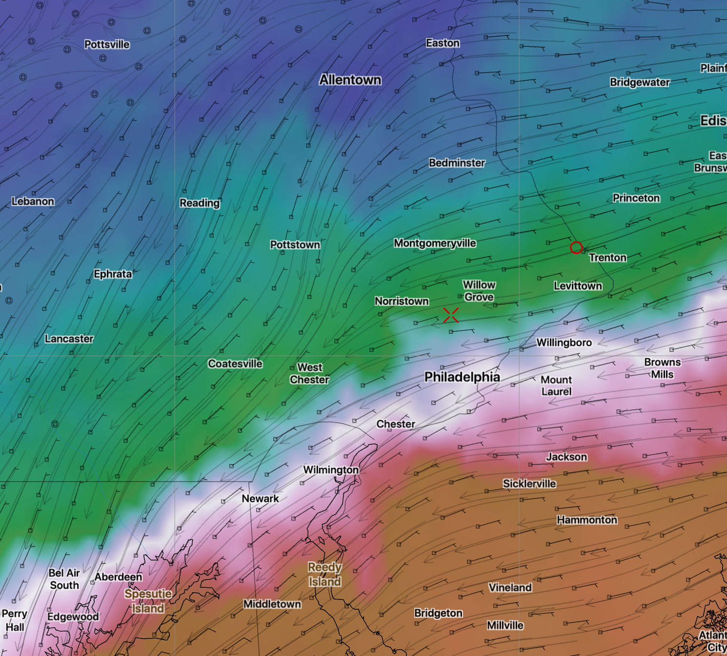
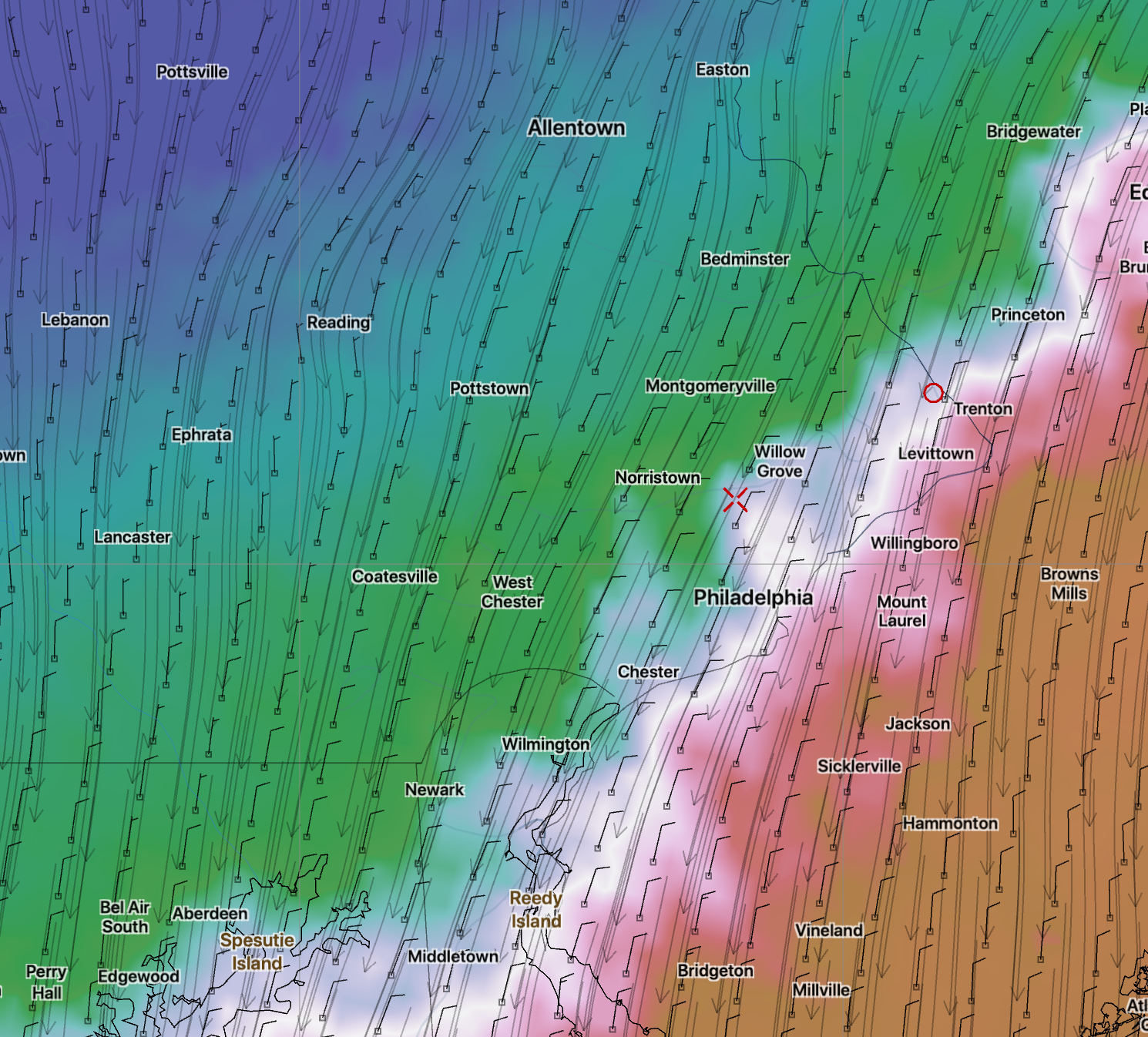
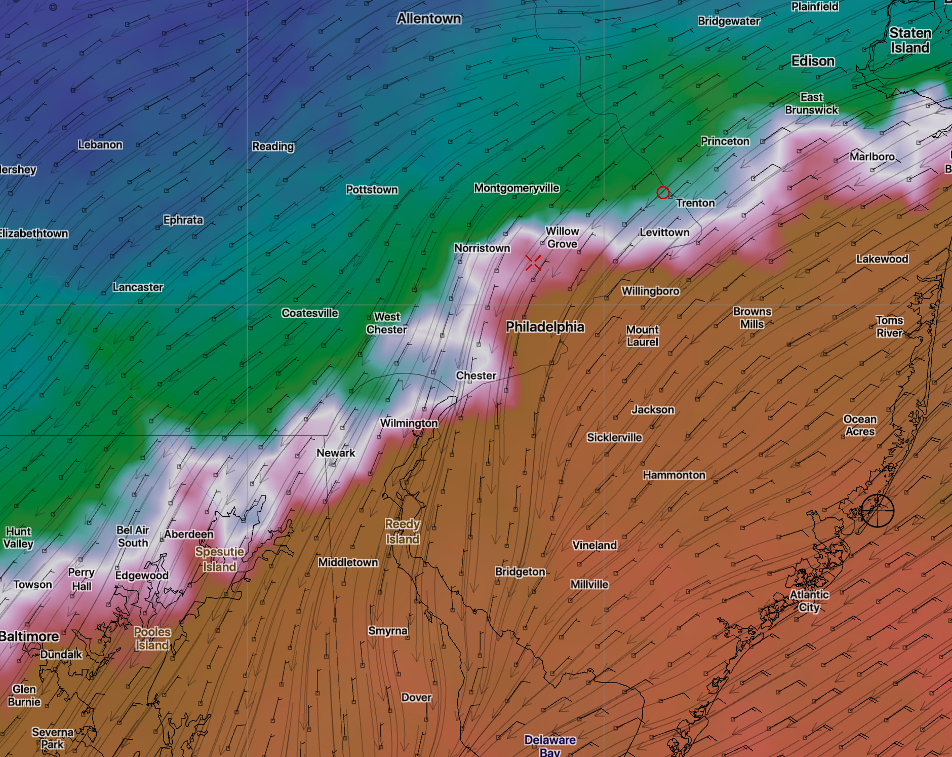
A mix of rain sleet and snow will begin about 3-5 PM The mix will continue, leaning towards a shift to more sleet and rain between 7 and and 11pm in the area south of the white line in graphic below.
Areas northwest of this white line will be all snow. Total snow accumulation In those areas about 5-8 inches by daybreak Monday.
Areas south of this white line will have a considerable amount of sleet and rain in the mix for at least 1/3 of the total storm QPF, during the heaviest precipitation time. This will significantly reduce total snow accumulations. The sleet line moves back south after midnight, as shown in my earlier afternoon post.
It’s an educated guess but the area from the Delaware river north to that white line may have 2-4 heavy inches. I think the warmer temperatures aloft will play a big role in keeping those numbers lower than they would be otherwise as a result of the sleet rain mix. Very cold temperatures follow later Monday.
I will update again with tomorrow morning’s data.