Category Archives: Weather Updates

In yesterday’s forecast, I mentioned the possibility of cloudiness for Sunday afternoon.   Several of the models have low cloudiness moving in on an easterly flow Sunday afternoon.

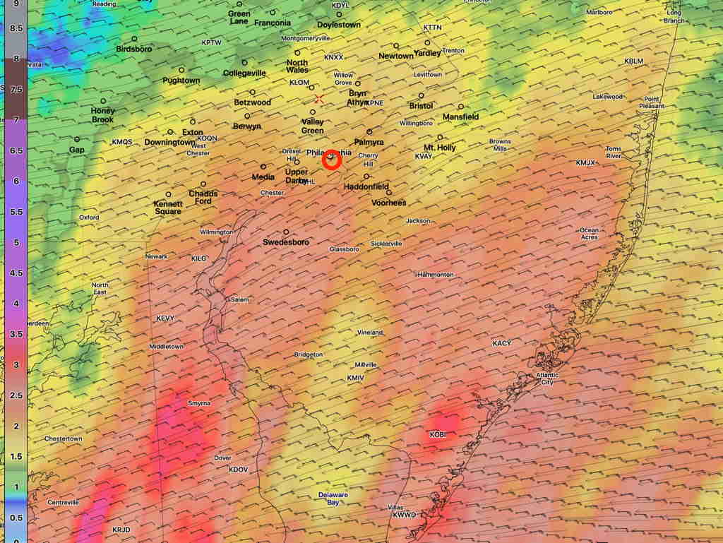
The model blend statistical treatment shows about 40% mean (average) cloudiness, but the standard deviation (a measure of the spread in the models or it can be interpreted as uncertainty) is as high 45-50%, especially west of Philadelphia  Sunday afternoon by 3 PM.

NBM Cloudiness Standard deviation at 3 PM (Click on image for a larger view.)


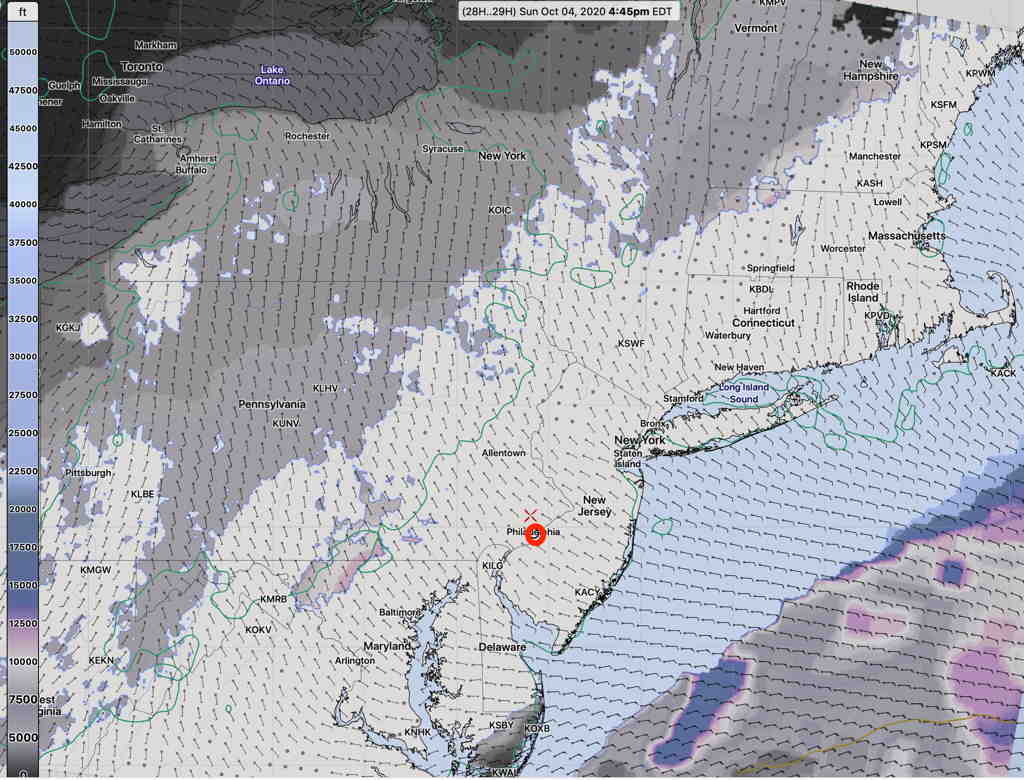
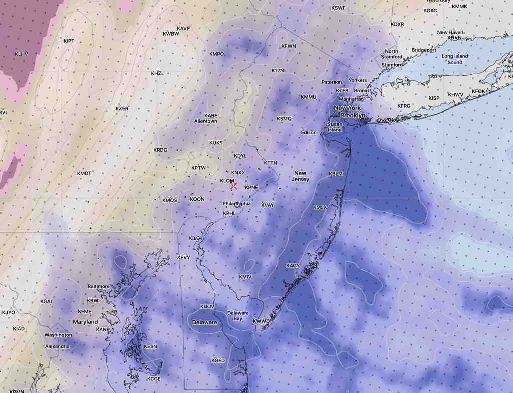
The high resolution NAM-NEST shows low level cloudiness moving in, with a mix of high and middle level clouds further to our west—

NAM NEST cloud forecast (high, medium, low clouds) for 3 PM Sunday.   Low level clouds are in blue. (Click on image for a larger view.)

So, there’s uncertainty in the degree of cloudiness for Sunday afternoon, but I’m thinking it might be significant by 3 PM.

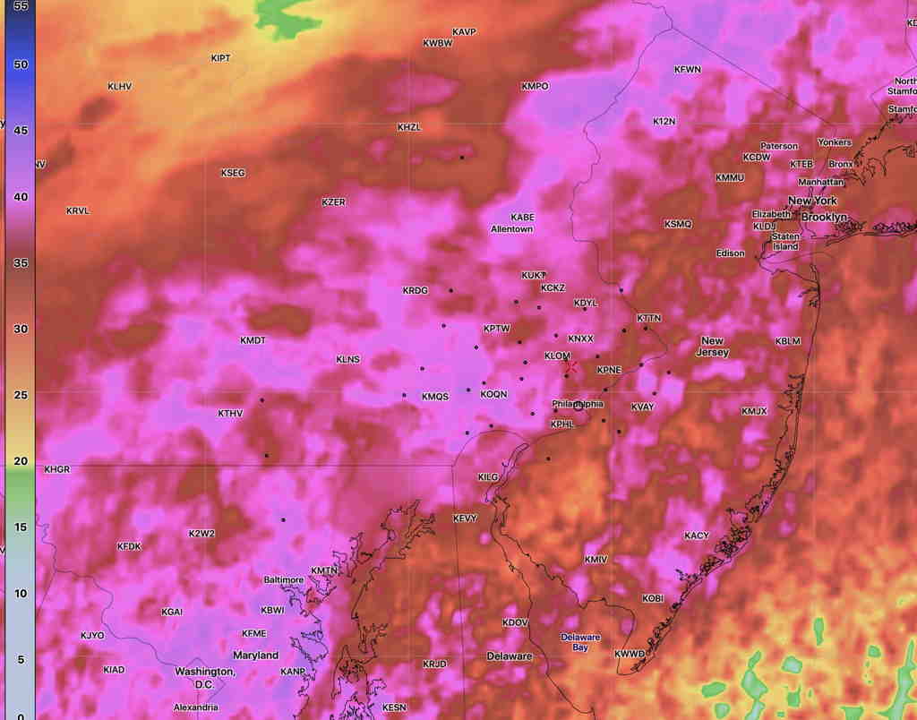
High temp Sunday 63.7º with a high confidence of 0.8º standard deviation. (The standard deviation can be thought of as 67% of the time, the temperature will fall with ± 0.8º of the mean temp 63.7º)

The models over-predicted the rain totals by about 1-1.5 inches.

The latest Model Blend  (NBM) rain forecast for tonight through Monday night for the Philadelphia area showing  2.0 – 3.5 inches of rain, especially east into NJ—

NBM accumulated rain forecast (Click on image for a larger view.)

Heaviest rain will be Monday morning, but rain should persist through the day into the evening. Wind gusts 35-40 mph possible.

SUNDAY FORECAST UPDATE

Sun 09:10 AM Update — The optimistic sunshine forecast of the NBM looks to be correct for today.

Here’s the latest German Icosahedral “ICON” model which handles one of its cloud cover parameters a bit differently,  shows the sunny area sandwiched in directly over us today—


From Saturday…

As mentioned in yesterday’s posted weekend forecast, the Philadelphia area will be sandwiched between two areas of clouds and low pressure.   Clouds fill in by the end of the day.

The NBM (National Blend of Models) has the most optimistic forecast, with significant sunshine and some high/mid level clouds for most of Sunday.

NBM Cloud Ceiling forecast 4:45 PM Sunday  (Click on image for a larger view.)

The GFS and HIRESW-FV3 (experimental) are somewhat more pessimistic with their cloudiness forecasts, significant high and mid level clouds.  The models also predict a band of clear skies; the models are consistent about this band of clear skies, but differ regarding its exact location.

Here’s the HIRESW-FV3 cloud ceiling forecast, showing the clear sky band just west of Philadelphia—

HIRESW-FV3 (pre-release version) cloud ceiling 4:45 PM   (Click on image for a larger view.)

So,there’s a range of possibilities around the cloud cover for Sunday.  The GFS is often my preferred choice for cloud cover predictions, but but I can’t ignore the new NBM.  I guess we’ll see.