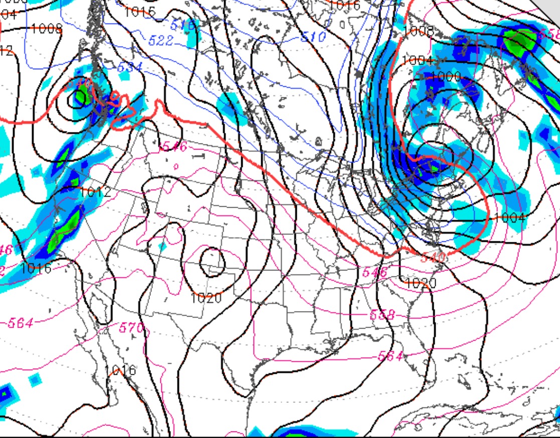
Update Thursday 8 AM: The GFS cranks out only 0.03 inches water between 11 AM and 1 PM. Both the NAM-based HRRR and the GFS-based LAMPS also show a chance of light showers mid-day.
There’s uncertainty about whether we’ll have showers on Thanksgiving day. (Previously, it appeared that the day would be dry.)
The latest HRRR model has showers moving through midday. The GFS LAMPS has showers possible in the afternoon while the MOS forecasts and NAM and GFS have it still essentially dry.
So I’m going with the HRRR – some light showers midday. I’ll update if things change or clarify.
The sharp cold front is expected to move through Philly between 5-7 PM today (Saturday). Before that time, expect high temps in the low to mid 60s. After the frontal passage, winds will rapidly pick up from the northwest and continue through the night. Temperatures will drop rapidly after the cold front moves through.
For the Philly Marathon on Sunday, expect partly to mostly cloudy skies and windy. Sustained winds near 18 mph mid-day with higher gusts. High temperatures about 44. There’s a chance of a quick, light snow flurry during the afternoon.
Today’s forecast probably over-stated the cloud cover. I usually use the GFS relative humidity data for cloud cover, but for tomorrow, I’m trying the NAM relative humidity upper air data for predicting cloud cover.
So, after a bit of sun early Sunday morning, there should be an increase in cloudiness as the morning and day proceeds, Showers appear likely by 5 PM, then becoming windy and cooler.