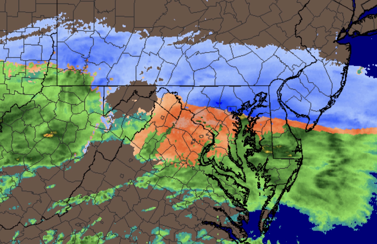
[su_box title=”Weather Update Tues 7 PM” box_color=”#defcdc” title_color=”#000000″]The remaining QPF for snow is 0.06 inches water before ending between 10-11 in Philadelphia. Whatever accumulation you have at 7 PM, you can probably add another 1/2 inch of snow to the totals. The NBM did the best with the timing of the changeover. The GFS had a QPF that was likely too high and this morning’s NAM QPF was way too low. The thermal profile of the NAM probably did the best.
The actual arctic front moves through between 12 noon and 1 PM Wednesday. A coating to an inch of additional snow is possible from snow squalls.
[/su_box]
[su_box title=”Weather Update Tues 12 Noon” box_color=”#defcdc” title_color=”#000000″]Using a specific geographical point for weather data, I’ll be using Wings Field, Blue Bell, PA. The latest NBM (National Blend of Models) has a QPF of 0.30 inches water, closer to the GFS. The NBM shows a changeover to snow (possibly mixed with rain) about 5 PM. We’re looking at about 2 inches of snow by the time it ends about 10 PM. Significantly less east and south. [/su_box]
[su_box title=”Weather Update Tues 11 AM” box_color=”#defcdc” title_color=”#000000″]This morning’s NAM and GFS show the differences remain, with the NAM now 0.15 inches water and the GFS 0.34. We’ll have to see which is right. [/su_box]
The 1 AM (06 UTC) runs of the models are available this morning and each model is consistent with its own previous run. The NAM is warmer and has less QPF (0.28 inches water), falling mostly as rain, changing to wet snow about 5-6 PM, ending about 10PM. Total snow is about 1 inch in PHL but increases to 3 inches in areas west and northwest. (Chester counties, Upper Montco).
The GFS and FV3-GFS are colder and have a higher QPF of 0.48 inches water. The GFS has snow starting earlier, then a mix of rain and snow, then more snow, ending about 11 PM. Total snowfall about 2.5 inches in northwest Philadelphia increasing to 4–5 inches the further west you go.
Both models have lower accumulations in Center City, closer to the Delaware and east into NJ.
The GFS has precipitation starting as early as late morning, instead of mid-afternoon (NAM).
It’s unusual to have such a wide range in QPF and the predicted temperature profiles from the surface to 18,000 feet are unusual in that it’s very cold aloft (supporting snow) but the models, especially the NAM, have a layer of warmer air below 5000 feet that will affect the precipitation type. The GFS is colder below 5000 feet, and as a result, is predicting more snow.
I’m still inclined to go with the GFS, but honestly, I’m not sure. This is one of those situations where sometimes knowing the possibilities is the best you can do.