Category Archives: Philadelphia Weather Outlook

WEEKEND WEATHER OUTLOOK

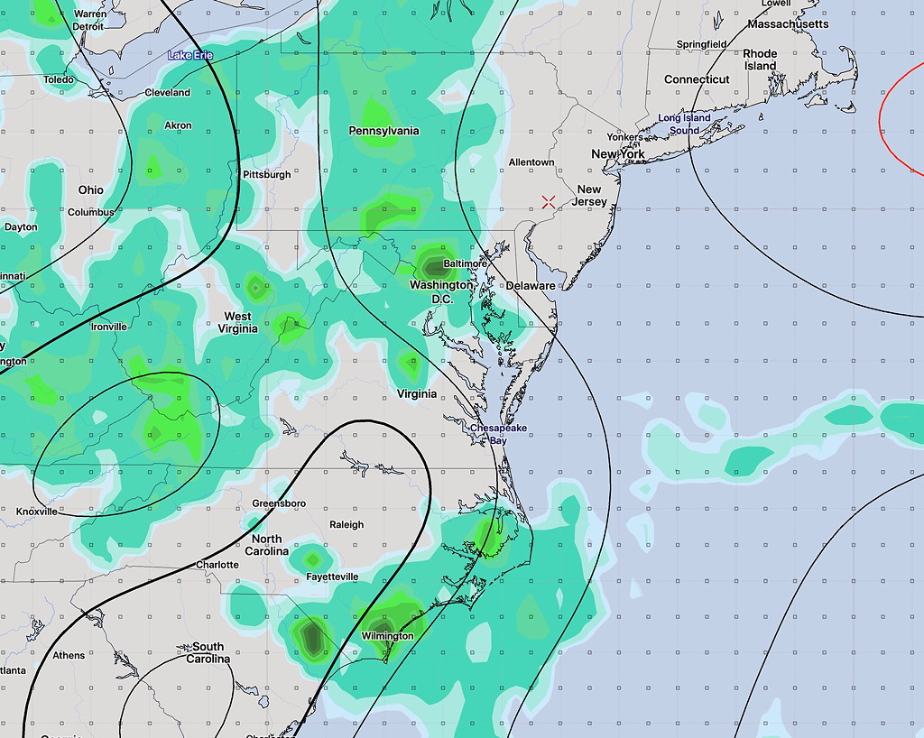
A cold front will gradually move through later today (Thursday) and tonight.  It may be slow to move out Friday morning areas east of the city.

Showers and thunderstorms will accompany the frontal passage, indeed, they have already started around noon in some areas in the city.

[su_note note_color=”#d9f2da”]What’s interesting is that most (but not all) of last night’s models didn’t have showers moving through early and had delayed them until late afternoon or evening today.

Strangely, last night’s RAP model (RAPid Refresh) was the only model to show the early showers and thunderstorms we had today and this afternoon. Even last night’s HIREF was slow to move the showers in today.[/su_note]

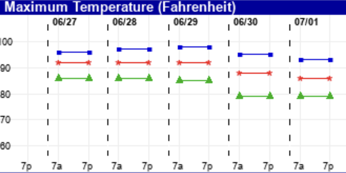
High pressure will build in for Friday, Saturday and Sunday.  Sunny skies and somewhat above average temperatures expected.  Daytime highs about 90 in the city.

High Temperature forecast Saturday and Sunday (GFS Model) (about 3PM each day)

The track of Tropical Storm (or Hurricane) Barry is still uncertain.  It’s also unclear where all that tropical moisture will end up.

Fourth of July Outlook

So what’s the weather forecast for the 4th?

For Thursday, the 4th of July, high pressure off the New England coast will bring a southeasterly wind flow into NJ.

Through Pennsylvania, a south-southwesterly flow will bring heat and moisture. These two moisture streams will converge.

Yesterday’s models were showing considerable rain for our area on Thursday, with the convergence zone right over us.

However today’s NAM, ECMWF, and GFS have that New England high pressure system building, pushing the convergence zone to our west. With the convergence zone to our west,  the rain should stay to our west as well.

Current GFS forecast- eastern extent of rain Thursday at 5:30 PM

Despite a fair amount of cloudiness, (less cloudy in NJ) much of Thursday afternoon and evening will be dry.   High Thursday 90-92.

Things always seem to change, but right now, things are looking pretty good compared to yesterday’s model forecasts.  Stay tuned.

[su_note note_color=”#d9f2da”]BTW, tomorrow, Tuesday, looks to have some heavy thunderstorms in the early evening. [/su_note]

WEEKEND WEATHER OUTLOOK

The typical summer weather that has finally come to town will be with us through the end of the week and most of the weekend. High temperatures in the low 90s and dew points moving into the increasingly uncomfortable mid to upper 60s will be the trend through Saturday.

Despite thermodynamic instability from the heat and humidity, the high pressure system aloft and at the surface will prevent much vertical motion, greatly reducing the possibility of thundershowers through Friday.

A weak front will move through on Saturday afternoon.  Mostly sunny skies still expected with some clouds in the afternoon. Some widely scattered showers and thunderstorms are possible, but many areas will stay dry, according to the NAM and GFS.

Sunday will be partly to mostly sunny and a bit less humid. The forecast for Sunday is a bit lower confidence. There’s a question about how far south the front will drop.

Here are the EKDMOS temperatures for the next few days. There’s a bit more spread in the temps on Sunday, suggesting a lower confidence forecast .

EKDMOS high temps