#weather #paweather #wx #pawx #philadelphia #phillywx
Update Wed 05/17 @ 9:39 PM — The dry weather and somewhat cooler than average temperatures will continue through Friday.
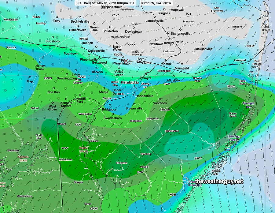
Some showers are looking increasingly likely for Saturday, especially Saturday afternoon. There’s a wide range of forecasts regarding precipitation amounts.
It doesn’t look like we’ll get much rain and the spread in the models varies from 0.2″ to as much as 0.8″. I think we’ll see the lower end.
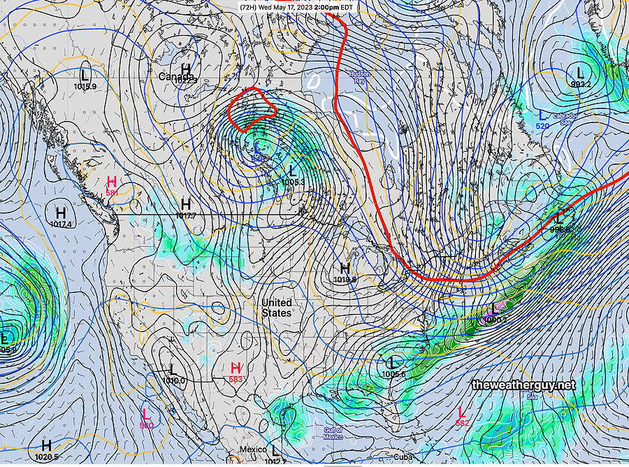
The current NAEFS, which is a blend of the GFS and Canadian Global, captures the scenario, with the heavier rain shearing off to our north and west and another area of heavier rain well to our east—
Update Tue 05/16 @ 8:16 PM — The dry weather continues…until Saturday. It doesn’t appear that we’ll get much rain on Saturday, possibly a few tens of an inch. Then more dry weather. Delightful, but the trees, flowers and grass are probably getting thirsty by now.
Update Mon 5/15 10:59 PM — Tuesday looks warm with high temperatures approaching 80°. Sunshine through high cirrus clouds. It looks like the showers Tuesday night will pass us by, even further to our south. Our dry weather continues.
Previously Posted Sun 9:14 PM —
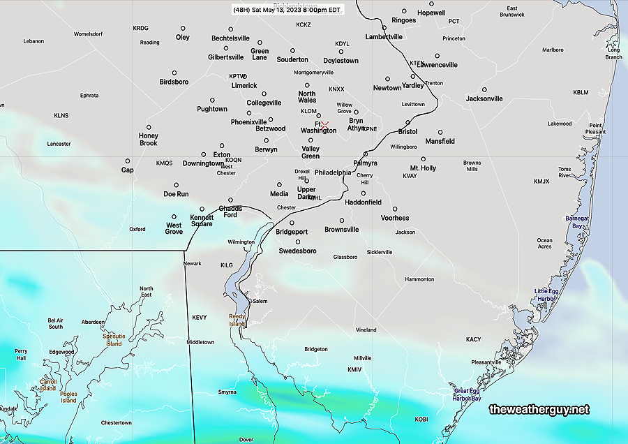
An uneventful weather week is in store for us. Nice weather is expected Monday and most of Tuesday before a cold front moves through Tuesday evening.
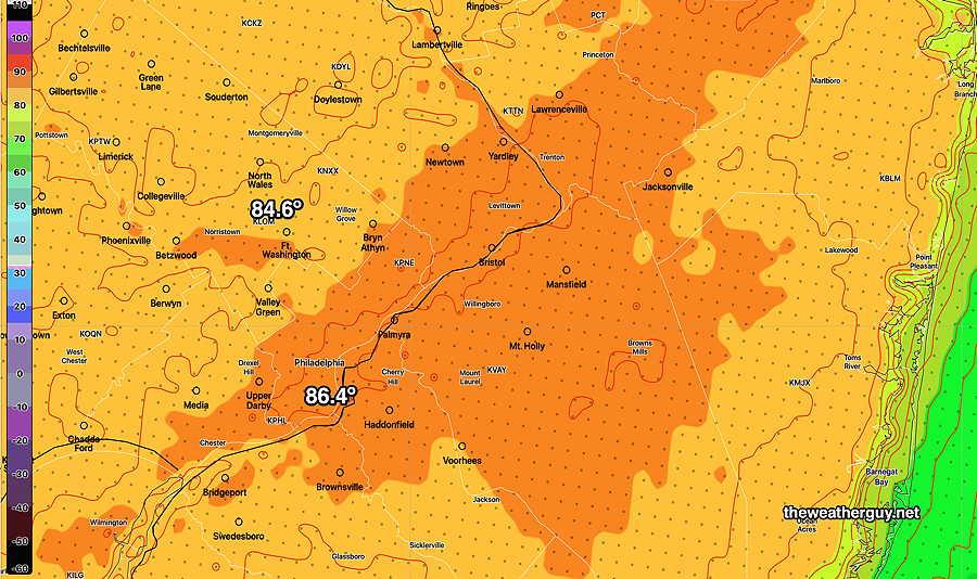
It’s been about two weeks since we’ve had any substantial rainfall, especially from the city northward.
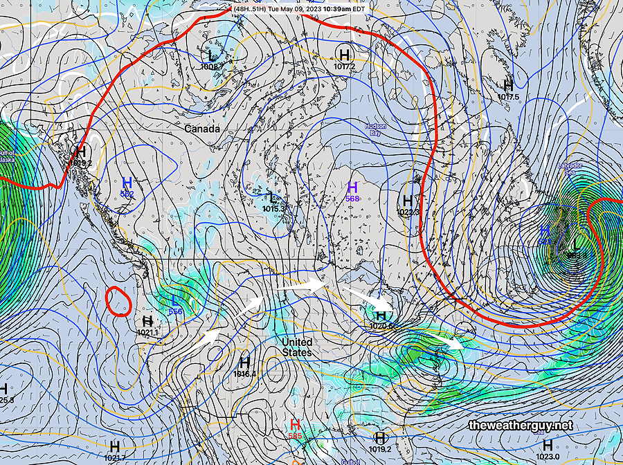
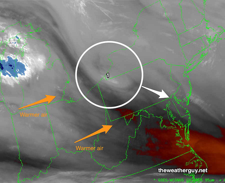
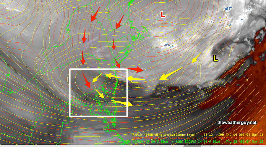
We’re in a very dry weather pattern right now, with any precipitation moving just to our south. This was the case this past Saturday and it will likely be the case this coming Tuesday evening. It was also the case last summer when the word ‘drought’ came back into the local lexicon. Hopefully, this dry pattern will be a temporary situation.
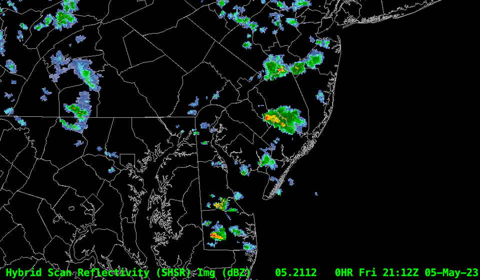
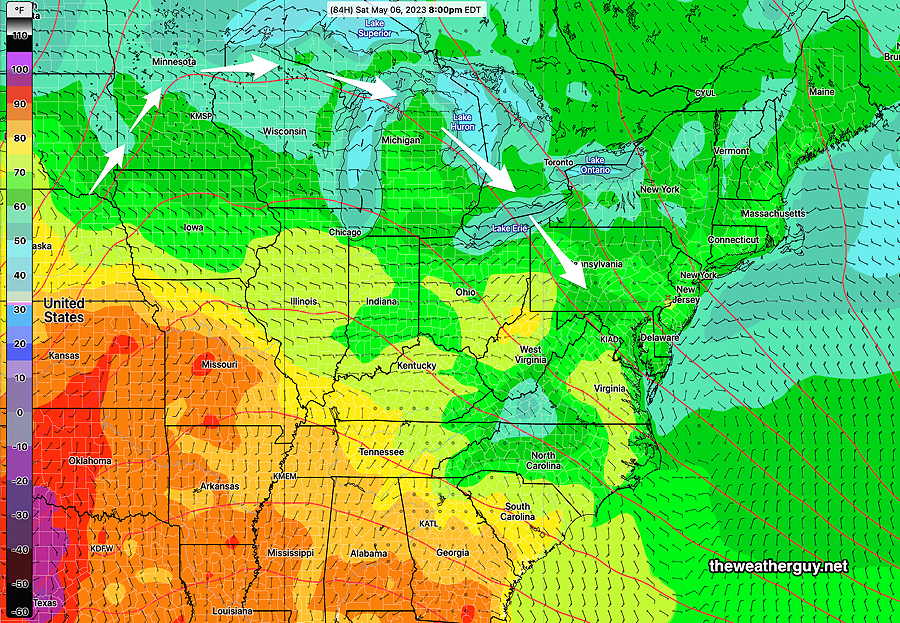
For late Tuesday, the Philadelphia area will again be the dividing line between some rain (0.15+”) to the south and almost zero rain in the northern suburbs. Heavier rain is forecast for southern parts of South Jersey and Delaware.