
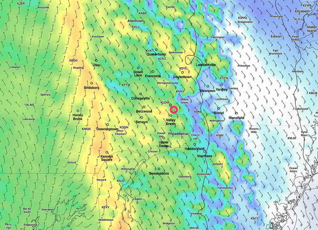
Brief Update: Latest NAM-NEST and HRRR not appreciably changed. Total precipitation (QPF) about 1.25-2.00 inches. First line of storms moves in between 3 -5 PM. Below is NAM-NEST Simulated Radar forecast for 4:30PM
Some of the severe weather parameters have decreased since earlier, and it appears that most of the severe weather most likely in central Pennsylvania.
However, this area of energy may arrive partially intact between midnight and 3 AM, with isolated severe thunderstorms.
So there’s three parts to this weather event:
- Main area of heavy rain and wind late this afternoon into evening.
- Isolated severe storms after midnight.
- Additional showers and thunderstorms Friday morning and afternoon.