
#Philadelphia #weather #PAwx
Sunday Forecast Update
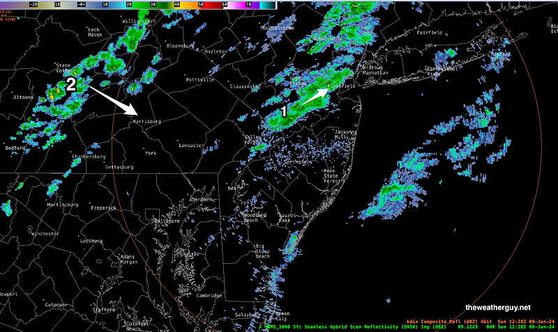
Posted Sunday 06/09/24 @ 8:41 AM — Few of last night’s models captured this small line of showers moving through early this morning.
Posted Saturday 06/08/24 @ 4:40 PM — It could not have been a nicer day on Saturday.
There are some timing changes for the weak frontal passage and light showers possible on Sunday.
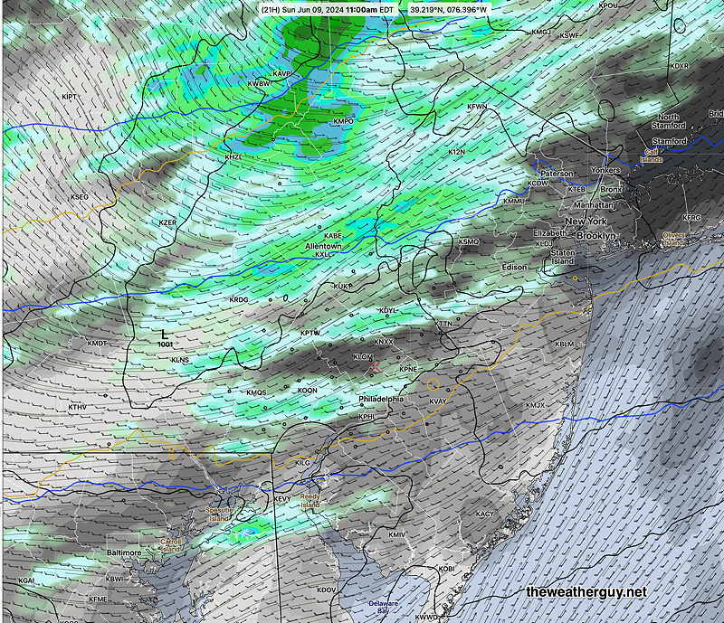
Today’s models have moved these showers to the morning hours. Scattered, light showers possible as early as 9-11 AM. Somewhat heavier showers far northern suburbs. Additional lighter scattered showers possible 2-3 PM. Not everyone will see a shower. In fact, there’s a wide range of model forecasts with some models showing almost no shower activity here.
Cloudy in the morning, a mix of clouds and sunshine during the afternoon Sunday.
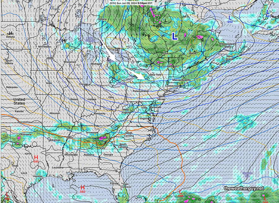
No significant rainfall this coming week. Increasingly warm (hot) by the end of the week. By next weekend, eyes will turn to the Gulf of Mexico and Florida where some tropical development is suggested by the extended range models.
Previously Posted Fri 4:48 PM —Our area remains under the influence of an upper level low in Canada and a cool flow around this low. Daytime heating will result in some instability cloudiness, but most of the Saturday will be sunny.
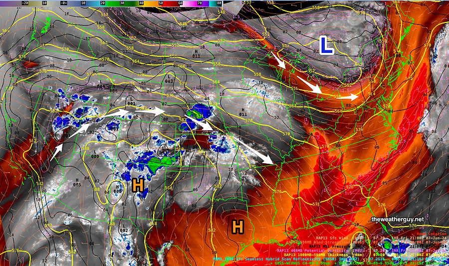
By Sunday, a weak disturbance and weak cold front moves through, bringing a bit more cloudiness and the chance of very light scattered showers in the afternoon.
Saturday
Partly to mostly sunny. Still somewhat cooler than seasonal average temperatures. Highs 80º (Blue Bell) to 83º (Philadelphia)
Sunday
Partly cloudy/Partly Sunny. A chance of light scattered showers during the late afternoon, mostly in South Jersey. Highs 81º (Blue Bell) 84º (Philadelphia)