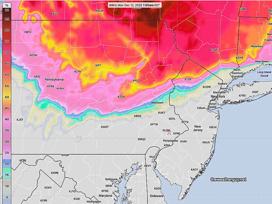
Update Sun 12/11 @ 9:53 — Forecast remains on track for today, Sunday. Heaviest rain here and at MetLife (Giants) Stadium will be from 2-6 PM. Rain totals here only about 0.20 inches or less; In East Rutherford NJ, it will be about double that amount. A bit windy.
Update Sat 12/10 9:04 PM — Tonight’s early models continue forecasting light showers moving in during the early morning hours, from west to east. Total rainfall about 0.25”
Areas north of Allentown may start as light snow changing to rain.
The period Thursday through Friday continues to look interesting. Stay tuned.
Update Sat 12/10 @ 10:46 AM — The latest models have some scattered light rain moving in as early as the morning hours Sunday, but the steadier light rain moves in between 1 PM and 4 PM Sunday. Total rainfall still light, only about 0.15 inches. (somewhat heavier rain/mix Allentown and north)
Models show the possibility of non-accumulating mixed precip in northern Montgomery and Bucks counties Sunday morning before a changeover to all light rain.
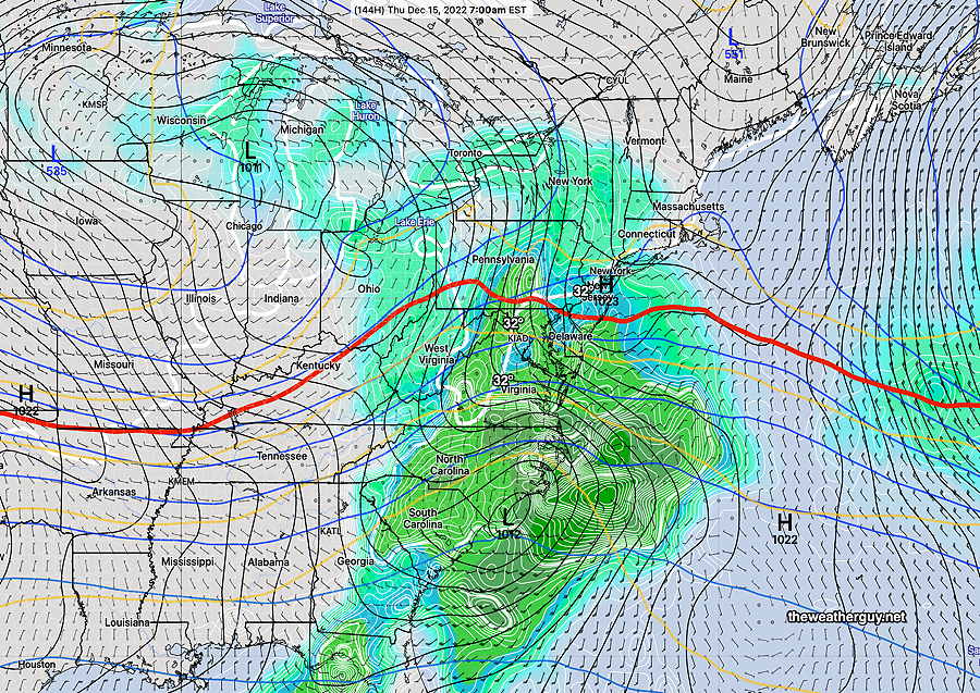
As for the potential storm Thursday into Friday, forecast differences in amount of cold air translate into significant differences in storm development and track. The ECMWF continues with a cold and deep coastal system, while the Canadian and our GFS have a much less developed upper trough. Stay tuned.
Previously Posted Fri 5:12 PM —
This weekend … and interesting weather next week
High pressure affect our weather on Saturday and will move off to the northeast on Sunday as low pressure moves north in Canada. A weak secondary low will form off in the Atlantic. Strong storm possible next week.
Saturday
Sunny weather for most of the day here, with some high cloudiness moving in between 2 and 4 PM. Light easterly winds.
High temperature 42.8º sd 1.9º NBM model Blue Bell, PA
Sunday
Low pressure in Canada will move north of us on Sunday as it transfers its energy to a weak low pressure system expected to develop in the western Atlantic.
Rain moves about noon and some rain is expected during much of the remainder of the day. The rainfall is expected to be light, less than 0.20 inches total.
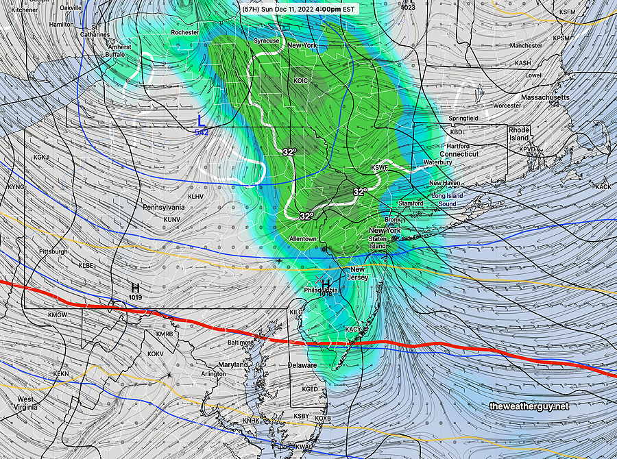
Temperatures in the upper atmosphere are expected to be fairly cold and there had been some forecasts showing cold air moving in that would change the light rain to a mix or light snow, especially northwest. The mixed precip and snow is no longer forecast in our immediate area.
High temperature Sunday 43.1º sd 1.6º NBM model, Blue Bell, PA
The NBM shows a high chance of some snow well to our north—
Colder air moves in on Monday.
The ECMWF still shows some snow flurries possible here Monday afternoon.
The week ahead..
A deep storm is expected to move across the country Wednesday through Thursday. Some interesting weather looks to be in store for us late Wednesday into Thursday. Stay tuned.