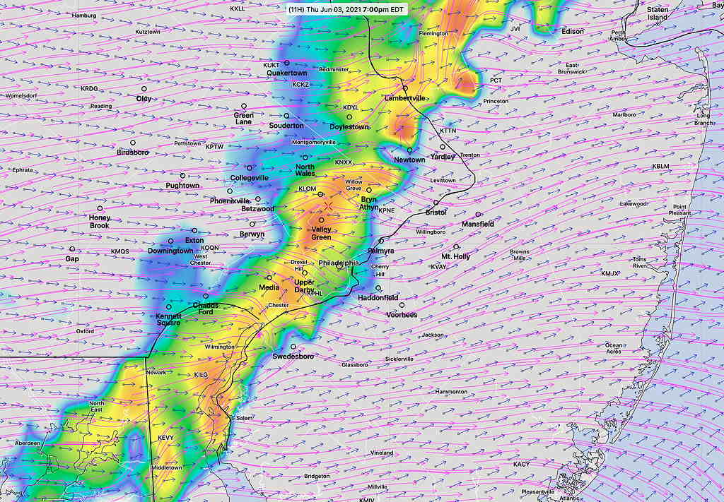
Update 2 PM: The latest 1PM Rapid Refresh (RAP) model has plenty of rain here and in NJ this evening. The trend is for much of the rain to come down during the evening hours.
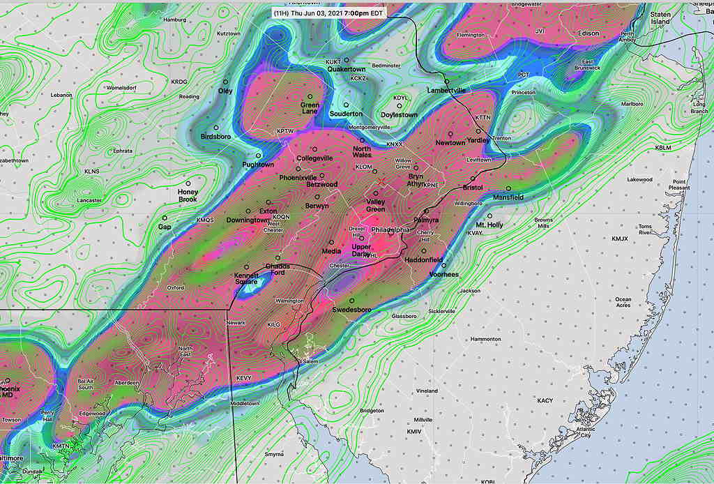
Update 4 PM: The latest HRRR is consistent with the HREF graphic below, showing the heaviest rain centered around the Philadelphia area.
The showers and thundershowers that moved though during the dawn hours associated with a warm front mostly affected areas of NJ. Some of last night’s models had forecast this scenario, but not all.
For today, the warm front continues to move very slowly to our north and clouds should break for some sun. An upper trough moves through later today with showers and thunderstorms, preceding a ‘cold’ front that passes through around noon on Friday, possibly with more showers/thunderstorms.
The amount of sunshine today will determine the amount of energy available for thunderstorm development.
As was the case last night, there are differences regarding the timing and placement of thunderstorms today.
The three new variations of the High Resolution Models (HIRESW) have somewhat different forecasts. The HIRESW-MEM2 (my preferred model for thunderstorms) has a line of thunderstorms moving in between 5 PM and 7 PM, but has it dissipating after it passes through Philadelphia.
(A few earlier scattered storms can’t be ruled out.)
Additional scattered shower activity continues through at least midnight.
The HIRES-ARW is somewhat similar to the HIRES-MEM2.
The new HIRES-FV3 has these storms making it into NJ, but dissipating as they get to the shore.
The NAM-NEST is similar to the HIRESW-MEM2 with the storms dissipating as they make it through NJ.
The HREF (High Resolution Ensemble Forecast) puts this all together—

The severity parameters are in the moderate range, not overly high. Heavy rain (1-1.5 “) with wind gusts and lightning—the usual strong thunderstorm issues — are expected.
Regarding severity, what’s missing is a strong adjacent jet flow presence and jet level vertical motion. CAPE (Convective Available Potential Energy) values are moderate. Additionally, the “shear” vectors and the storm motion vectors are not parallel as the line of storms approach Philadelphia at 7 PM—

While available energy is forecast to be high (CAPE values > 1000 joules/kg) , CAPE values associated with very severe storms can approach 4000 + J/Kg. Not the case here.
Shear values and thermodynamic instability values also in the low- moderate range.
Maximum Precipitable Water values are fairly high ~1.7″
As mentioned, additional storms possible mid-day Friday as the actual front moves through.

