
A cold front moves through Thursday evening and there will be thunderstorms starting between 5:30 PM and 9 PM Thursday evening and continue into the pre-dawn hours of Friday. These storms could be strong to severe – several parameters indicate this possibility.
Yet another front moves through Friday afternoon!
Temperatures on Sunday may be in the low to mid 90s!
I’ll provide an update on Thursday morning.
The cool weather we’ve had recently will slowly depart as a warm front moves through late Wednesday into Thursday morning.
Some showers and thunderstorms will arrive with the warm front before daybreak Thursday. (see timing update in green box above.)
A cold front will move through later on Thursday. Some heavy thunderstorms are likely with this frontal passage late Thursday afternoon and evening.
Some showers and thunderstorms will arrive with the warm front before daybreak Thursday. (see timing update in green box above.) I’ll keep an eye on the specifics.
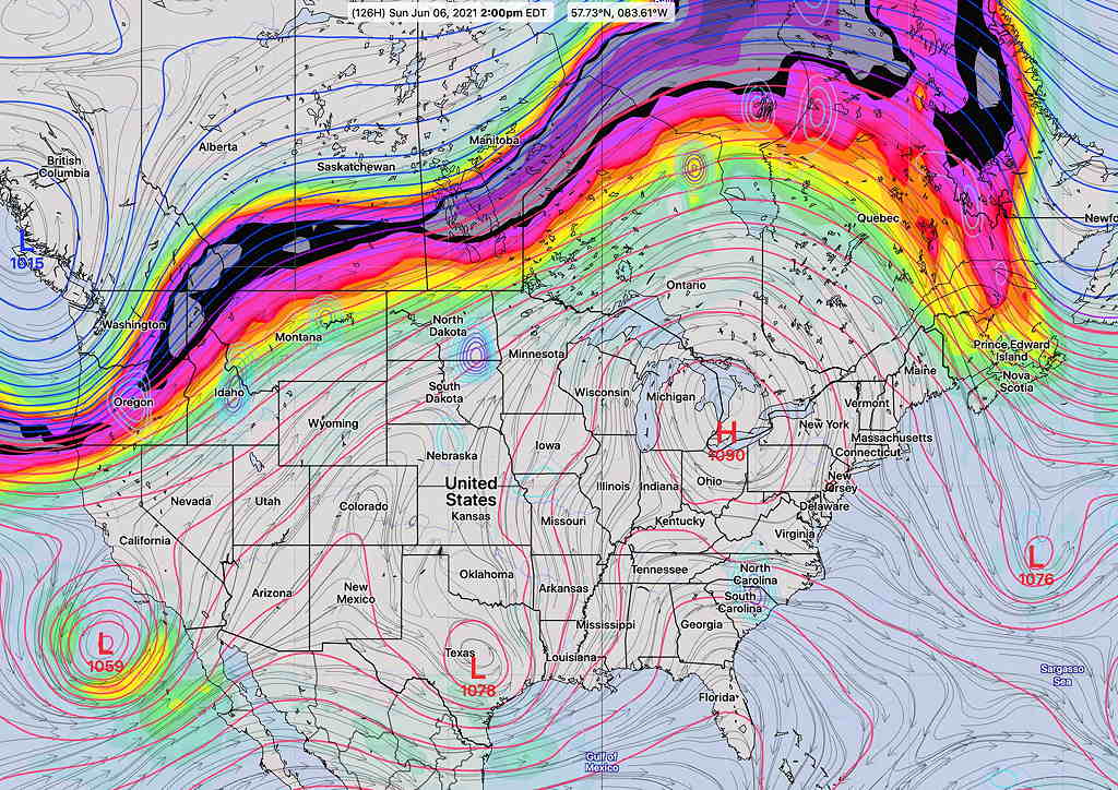
After a brief cool down Friday, the upcoming weekend promises to be warm and summer-like as an upper air high pressure system parks moves over the Great Lakes with the jet stream pushed into Canada—
I‘ll be providing an update about Thursday’s storms if they continue to look significant.