Updated Wed 8:39 AM — Minor changes from last night. Chance of thunderstorms today is low in the PHL area. Several areas of rain will move through, occurring earlier than previously expected. What best captures the rain is this HREF (High Resolution Ensemble Forecast) meteogram for Blue Bell PA which shows mean hourly rain amounts with the “spread” (which is considerable)—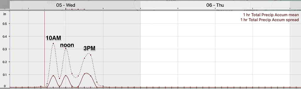
Updated Tue 9:52 PM highlighted below
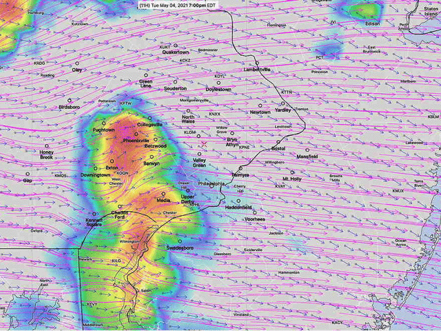
For tonight (Tuesday), the latest models are showing a chance of thunderstorms somewhat later, again mostly north and west of the city.
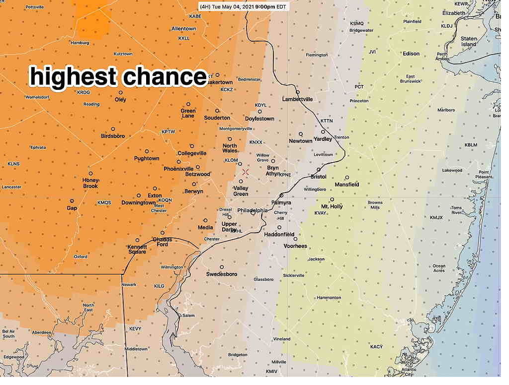
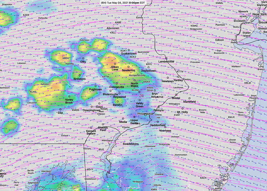
Not much happening tonight in the immediate PHL area. The only thunderstorms are occurring in the orange area as depicted in the NBM probability map above. All models from this morning (HIRESW, RAP, HRRR) and even this afternoon did not get this right.
Wednesday
The models are showing the cold front slowly moving through on Wednesday with two centers of low pressure moving up the front.
There’s a chance of rain throughout the day, with two maxima.
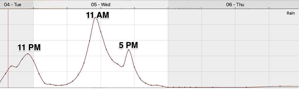
The first batch of rain will start as early as 9-11 AM Wednesday. While embedded thunderstorms are possible, the morning hours generally do not support much in the way of heavy thunderstorms activity.
A second wave of low pressure moves through during the afternoon hours. More rain is likely about 3-5 PM. Thunderstorms are most likely from Philadelphia south and east. (although tonight’s NBM is unimpressive with thunderstorm probability)
Here’s an NBM model hourly rain probability meteogram for Blue Bell PA for Tuesday night and Wednesday—
I’ll be looking at the new models later tonight.
Tonight’s NBM and HRRR is very unimpressive with the chance for thunderstorms on Wednesday, although it continues to show several slugs of rain, very similar to the peaks shown in the meteogram above from an earlier model run this afternoon.
Some embedded thunderstorms still possible from PHL south and east.