SUNDAY FORECAST UPDATE

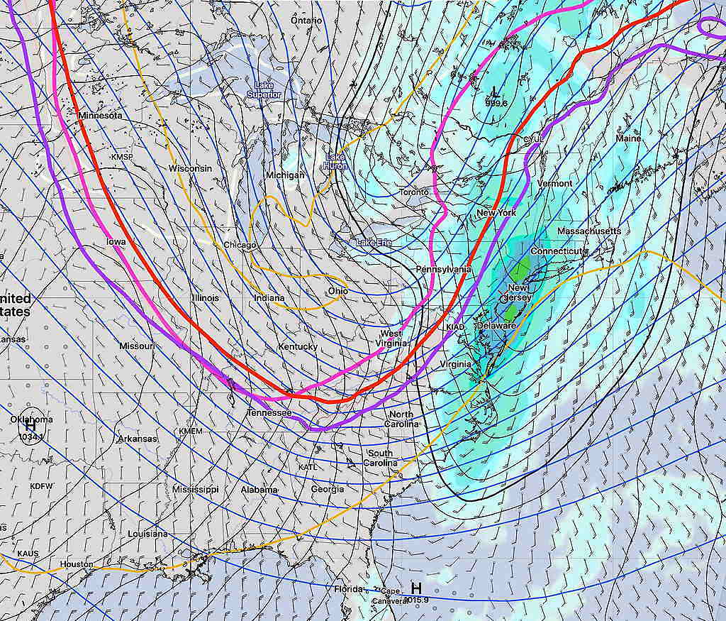
As first noted last night, Sunday’s forecast for late afternoon light showers has changed significantly.

A strong cold front will spawn coastal low pressure.  Rain will move in around  noon.  Winds will become gusty by late morning with gusts 35-40 mph. Accumulated rain will be about 0.4-0.6”, higher in NJ.   High temperature 53-55°

The actual cold front moves through between 5-6 PM with a shift in winds to the NW.  Still gusty winds.

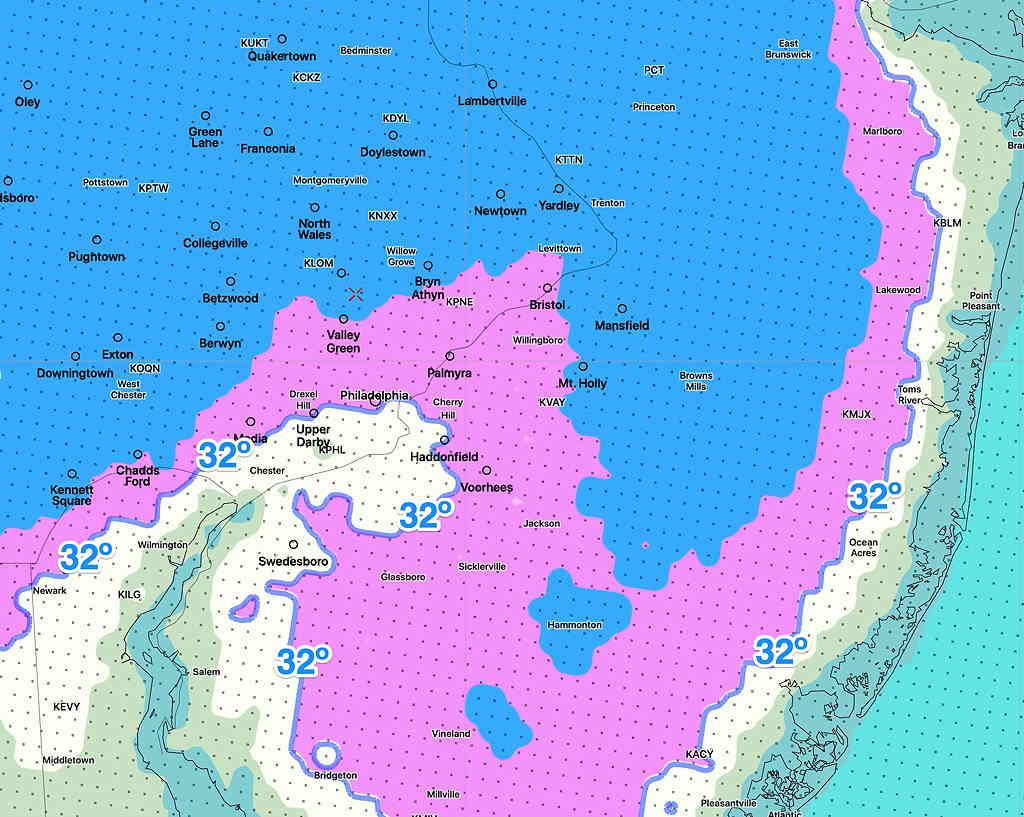
Temps drop into the 30s during the Eagles game.  Winds gusty early will reduce somewhat by late evening.

WEATHER UPDATE & WEEKEND OUTLOOK

Additional rain is expected Thursday night into Friday morning.  Clearing is expected between 2 and 4 PM Friday.

Friday night and early Saturday morning will feature cold temperatures— at or below freezing for much of the area.

NBM Minimum Temperatures by 8AM Saturday  (Click on image for a larger view.)

Brief outlook for the weekend—

Saturday will be sunny and relatively chilly.  High temps around 48º.

Halloween evening— clear and dry with temps around 40º

Sunday will be milder in the morning with significant cloudiness, but a cold front moves in during the late afternoon preceded and accompanied by some showers/rain.  High near 58, but temps fall again during the evening following a quick dip in the jet stream.


Incredibly, the extended GFS model has another tropical storm/Hurricane forecast in two weeks.