[su_note note_color=”#d9f2da”]Fri Noon Update: Large differences between the NAM and GFS models. The NAM has much of Saturday dry, the GFS has much of Sunday dry with the NAM having heavy rain on Sunday. I’ll try to nail it down with a Friday evening update. [/su_note]
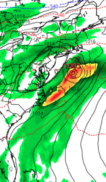
A quasi-stationary frontal boundary will gradually pass through our area over the upcoming weekend and become quasi-stationary.
There’s much uncertainty about the timing and speed of this front as well as the final position of the front. Impulses of low pressure are expected to develop along this boundary and bring showers as well as pulling the front alternately north and south.
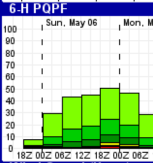
As a result, the forecast for this weekend is very low confidence, but here’s the general trend- Saturday will be the most unsettled with the highest chance of precipitation; showers and thunderstorms are possible, especially in the afternoon, but possibly throughout the day as low pressure develops right over Philadelphia. These will continue into the evening.
Low pressure exits on Sunday, giving a break in the showers early, with showers possibly developing again in the evening. Sunday looks like the better day for outdoor activities.
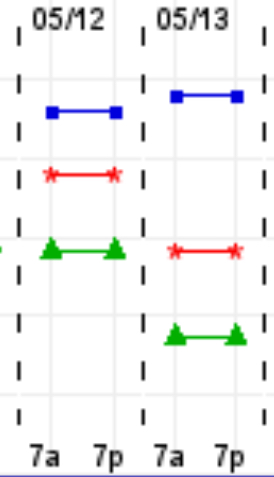
The experimental EKDMOS captures the uncertainty- the spread on the high possible temperatures for Sunday 5/13 is incredibly large.