
The Philadelphia area forecast for this weekend has clarified a bit more.
Saturday will start sunny; high dew points in the 60s and high temperatures in the mid to upper 80s will make it an appropriate start of the summer season.
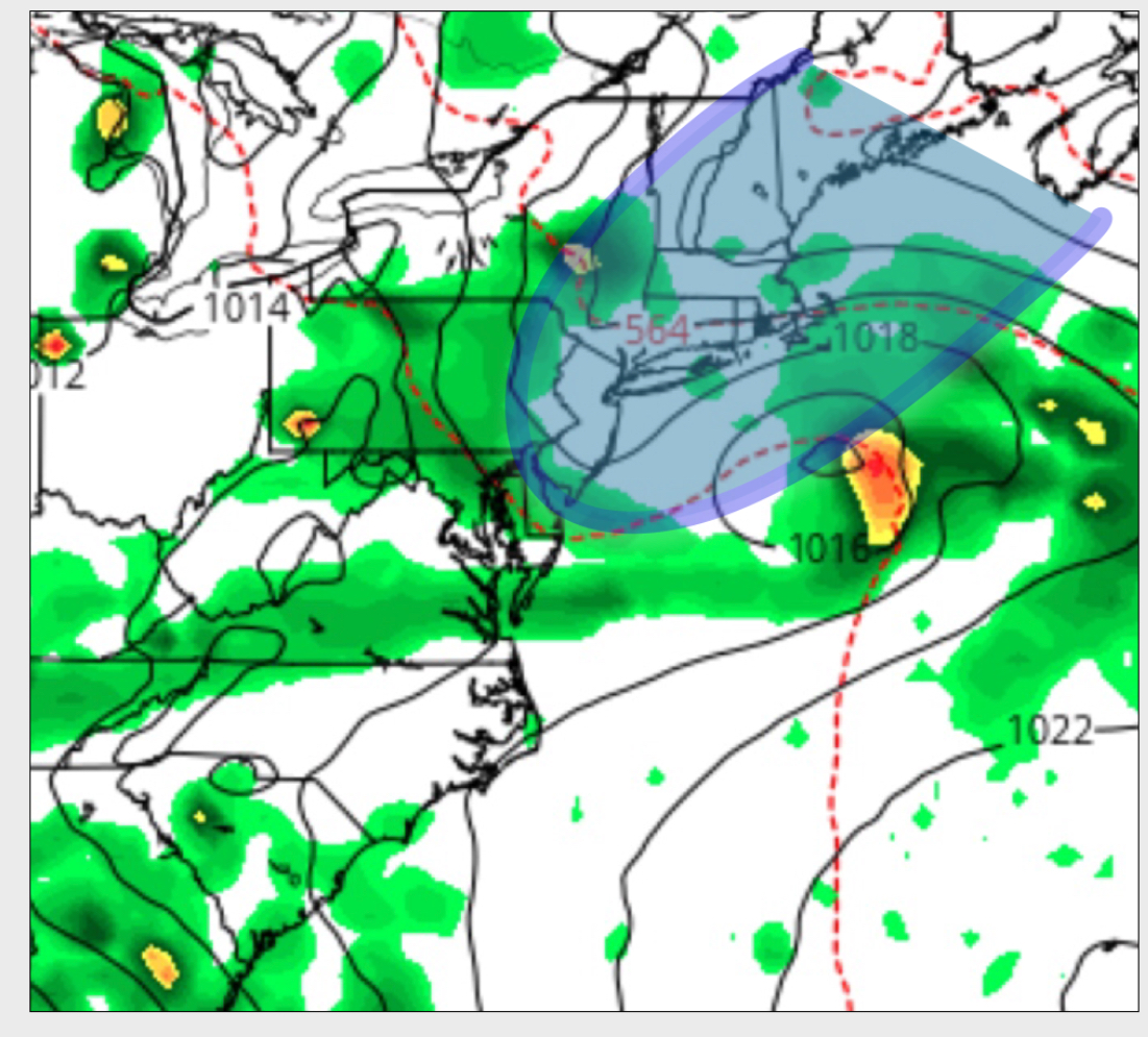
Unfortunately, moisture will also move in as mid-level cloudiness between 2 and 4pm. There’s a high chance of showers and thunderstorms between 4 and 6 pm and the showers will likely continue into the evening.
The stream of moisture, instability and cloudiness are firmly entrenched by Sunday. The GFS maintains showers throughout Sunday BUT the NAM holds off most of the precipitation until later in the afternoon Sunday. So there’s uncertainty about timing of showers on Sunday. I’m betting on the NAM here at this time. Any showers will be heavy. High 78.
[su_note note_color=”#d9f2da”]11pm update: Sunday possibly looking better in the afternoon as a backdoor cold front noses in from the northeast.[/su_note]
Monday starts off cloudy, but expect some sun by late in the afternoon.
I’ll try to nail down the timing of the showers with updates.