The outlook for this weekend’s weather is looking remarkably similar to last weekend’s weather. (Not a good thing!)
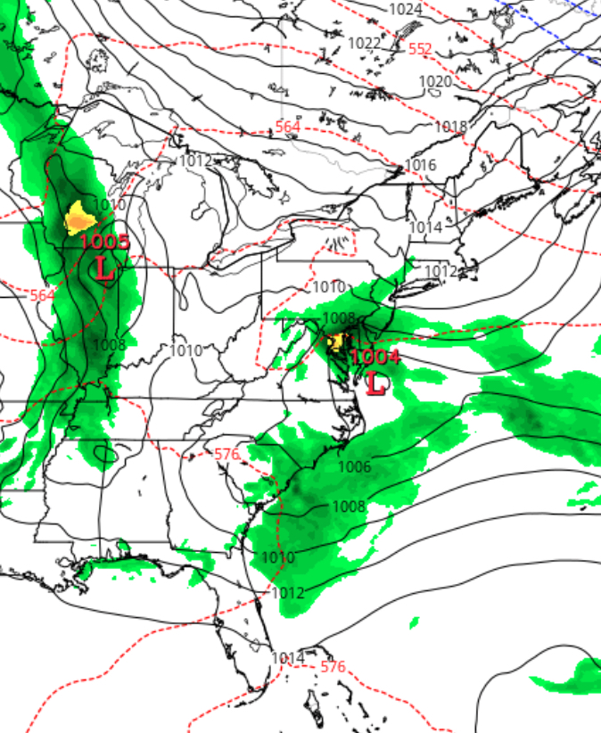
Like last weekend, high pressure nosing in from the northeast will result in an easterly wind flow that will keep things damp and cool. Moisture from the remnants of Alberto transported into the Midwest will also be pulled in. Weak low pressure is also expected to develop near the Delmarva and remain blocked from moving away, also resulting in low clouds and showers/thunderstorms.
Like last weekend, there are differences between the GFS and NAM with the GFS having heavy rain on Sunday, but the NAM not so much. I think the NAM did best last weekend.
So there’s uncertainty about how much rain and when. Right now Saturday looks like the wettest day, based on the NAM. Sunday may turn out drier.
Some additional showers are expected to move in about 6 pm today. Things dry out late tonight.
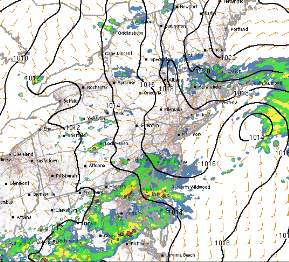
HRRR Sunday forecast 6 pm
Monday starts cloudy, but expect sunshine by mid morning.Monday should turn out to be a nice day!High near 80.
[su_note note_color=”#d9f2da”]Sunday 8 PM Update -This afternoon’s NAM and GFS model runs maintain low clouds and even some light spits Monday morning, with just clouds in the afternoon. No sun[/su_note]
[su_note note_color=”#d9f2da”]Sunday 3 pm Update: Some additional showers are expected to move in about 6 pm today. Things dry out late tonight. Monday starts cloudy, but expect sunshine by mid morning. Monday should turn out to be a nice day! [/su_note]
Saturday:
Regarding thunderstorms today, the latest HRRR shows widely scattered thunderstorms between 5-6 PM in the Philadelphia area. The key words are widely scattered. This is not predicted to be the usual long line of thunderstorms. The statistical models are more impressive from a probability basis, but many areas may not see anything this afternoon.