It looks like March will come in like a lion — The models have been showing the development of a coast low near the Delmarva area for Thursday into Friday. This low pressure system is expected to intensify and be blocked by high pressure over the Atlantic, causing it to linger. Temperatures are expected to be too warm for snow for much of the duration, but intensification may allow for cooling- wet snow is likely to mix during the end of the storm. Expect heavy rain for later on Thursday into Thursday night. A changeover to wet snow is possible early Friday morning; accumulations aren’t likely.
Exact degree of intensification, timing and the degree of blocking isn’t certain. I’ll keep an eye on this.
In a separate thought, this forecast storm has been hyped on the internet for days; I suspect that there’s so much ‘pent up demand’ for a “good snowstorm” this season that people are clamoring for a “big one”. Not me; I’m ready for Spring.
The latest models have heavy rain before daybreak Sunday, then moderate rain in the morning.
While skies will remain cloudy, the rain should be over about 1 pm on Sunday and much of the afternoon will be rain free (for a hedge, maybe some sprinkles).
[su_note note_color=”#ebf2d9″]Sunday 1 PM – Rain will be ending shortly. Temperatures never warmed to the near- 60 degrees predicted by the models. [/su_note]
The rainy, dreary weather forecast for the upcoming weekend has been well advertised. What can I add to the information?
Well, it appears that the early part of Saturday morning will be [relatively] dry, but there is still a small chance of light sprinkles or drizzle in the morning with increasingly likelihood by noon and likely by the afternoon. So, if you’re interested in outdoor activities, Saturday morning is the time. Either way, any showers will be light until late in the afternoon. High 59.
By Saturday night, the chance of rain increases and moderate rain is likely as the evening progresses.
Sunday will be rainy, and rain could be moderate to heavy during the morning, decreasing in intensity during the afternoon. High 60.
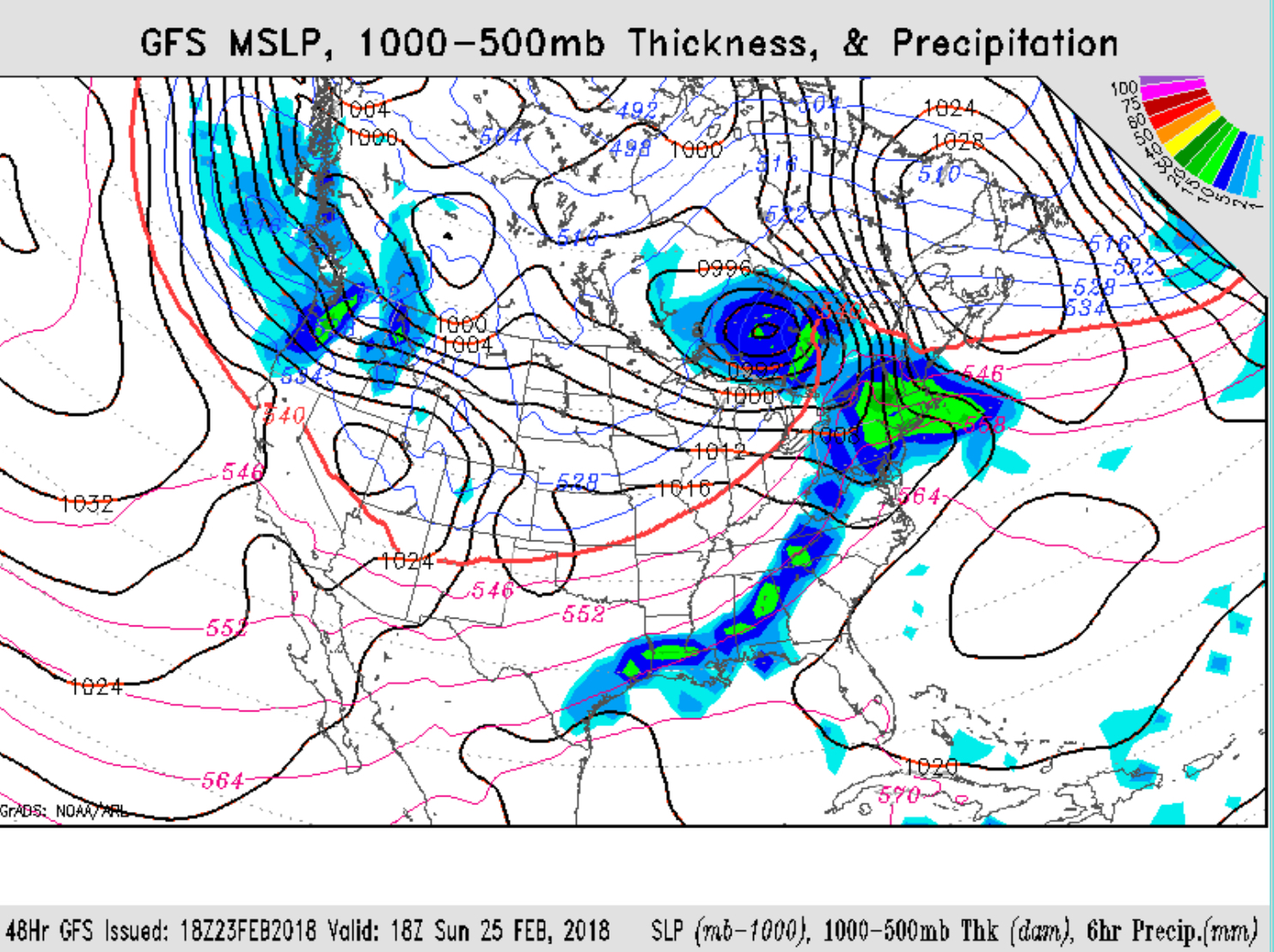
Sunday GFS forecast
[su_note note_color=”#ebf2d9″]Saturday 2 pm: Today’s rains moved in close to expected, but the initial burst was a lot heavier than I had predicted and a bit earlier. The models still have moderate to heavy rain for much of Sunday, especially during the morning.[/su_note]