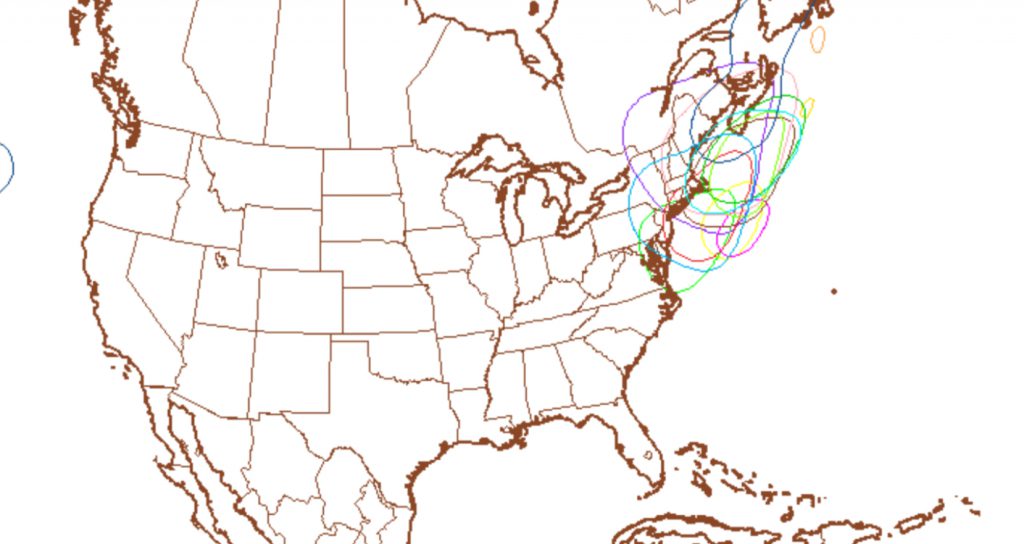
The statistical models have been suggesting the possibility of a secondary low pressure system developing off the coast along a cold frontal boundary. The deterministic models ( GFS, NAM) haven’t shown anything until today. The general trend has been for the secondary low to form too far north and east to give any significant snowfall to our area, but the models are showing a light coating.
Below are the current low pressure center possibilities, based on different GFS possibilities (“perturbations”). Most are somewhat north and east. 
