
Update Sat @ 9:30 PM — Sunday’s forecast for sunshine still looks good. High 49° ± 2°. Watching the Monday forecast.
This morning’s latest HRRR and RAP models have the sun breaking out between 2 and 3 PM in many areas.
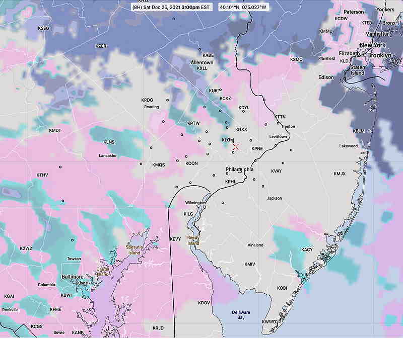
Updated Sat @ 7:36 AM— Merry Christmas! The forecast specifics for today remain hard to pin down time-wise. The general trend is that there will be showers early, then a break and even some sun for a bit, then more showers about noon, followed by another break and even some sun about 1-2 PM, then more clouds and showers.
High temp 55.6º ± 3.7º Blue Bell based on the latest NBM model. (The high standard deviation -3.7º reflects the uncertainty in the model forecasts for today.)
The current radar doesn’t match favorably with any model forecasts, so it’s still a lower than usual confidence forecast.
Sunday still looks sunny.
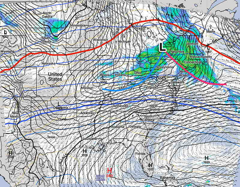
A low pressure system in western NY state will have it’s associated warm front move through after midnight tonight (Friday). It’s associated cold front will move through during the evening Saturday. The front will stall to our south and return on Monday as a warm front. In between, Sunday will be sunny.
There’s been a lack of clarity about Saturday’s forecast details, as covered in my previous post.
Saturday
The showers associated with the warm front will move through before daybreak and into the early morning. There’s been a lack of clarity regarding the early morning showers placement, but I’m going to lean on the latest NBM to make the call.
Most models are in agreement with showers returning late morning well ahead of a weak cold front. (The main front moves through on the evening.) Showers will be light. It will become WINDY late morning. There may be some clearing after 1-2 PM although that’s not a certainty.
High temperature 56º ± 3.0º (NBM Blue Bell)
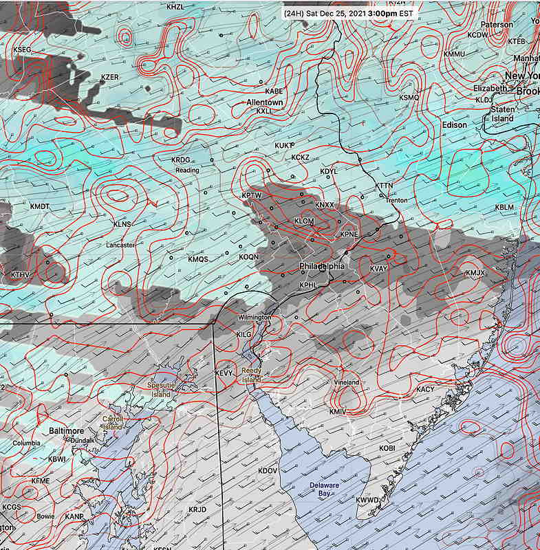
The main cold front moves in in the evening (possibly with additional showers, but a low chance.)
Sunday
The front moves to our south and fair weather moves in. It will still be mild.
High temperature 50.3º ± 2.4º (NBM Blue Bell)
Looking Ahead…
The front that moved through Saturday will return as a warm front Monday. There’s the possibility of light, non-accumulating snow early Monday morning.