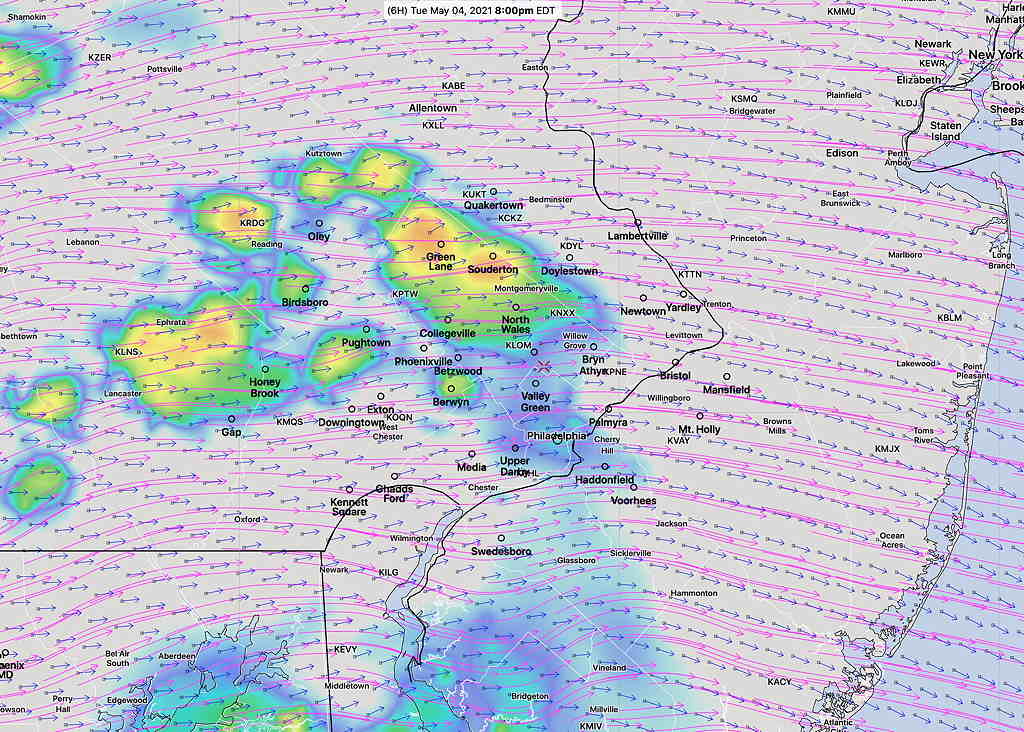
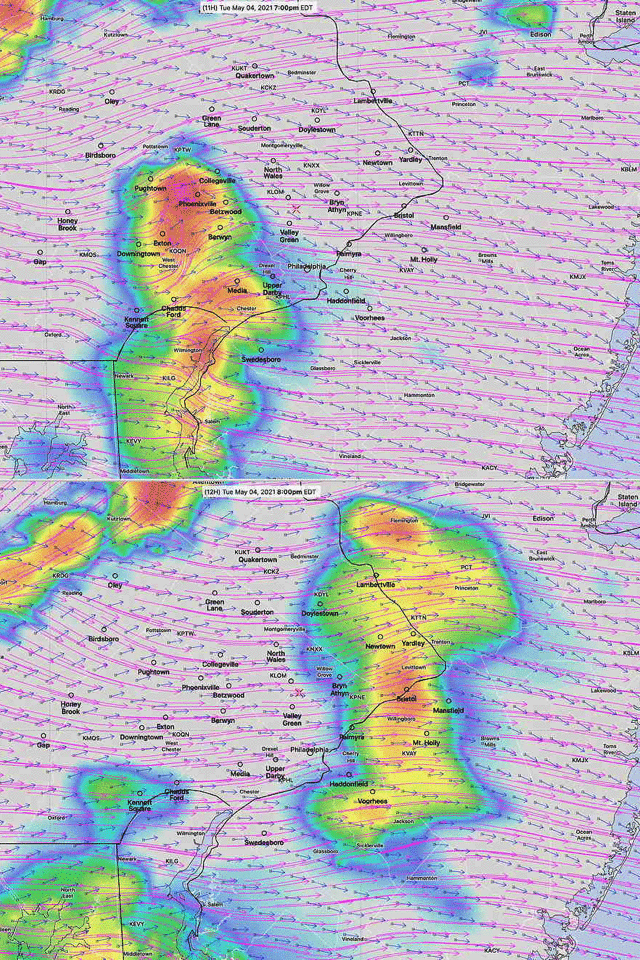
Forecast Updated Tue 5:40 PM — This afternoon’s HRRR and HREF models have the heaviest activity to our northwest—

Tue 5:35 PM —Updated with storm motion/shear vector graphic from this morning‘s HIRESW
An upper air disturbance will approach Tuesday evening ahead of a cold front Wednesday.
Several parameters that are used to predict severity of thunderstorms are not all that impressive in the immediate PHL, in the low-moderate range. (CAPE values in the 600s)
Nonetheless, there are several factors including a strong jet streak to our northwest and considerable daytime heating to 82º that can create some interesting weather. Additionally, the storm shear vectors align with the predicted storm motion vectors, especially north west of our area, resulting in some stronger storms north and west.
Look for thunderstorms developing between 6 and 8 PM tonight.

More on the thunderstorm threat Wednesday with a later post.
