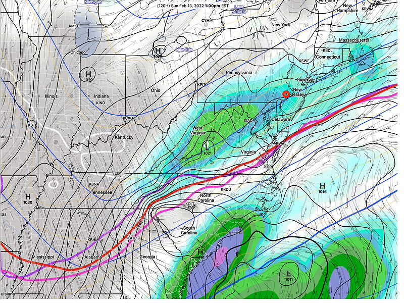
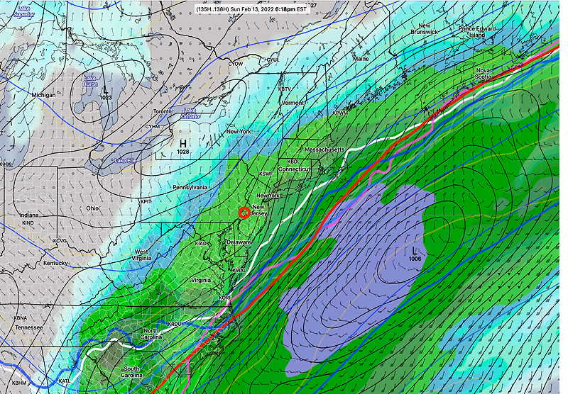
Update Wed @ 8:20 AM — A preliminary update. A quick review of last night’s models, particularly the GFS and GEFS, show a more significant snowfall possible for Sunday. (> 2 inches) Update later.
Show More
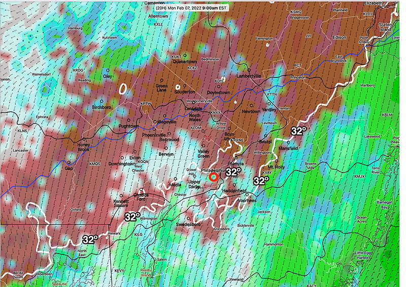
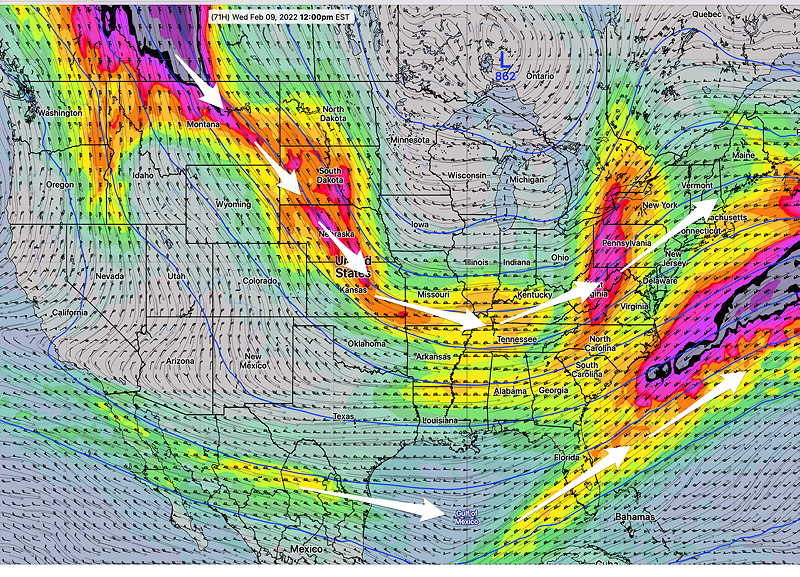
Update Tue @ 10:35 PM — Tonight’s major models, whose forecasts extend into the Sunday timeframe, don’t become available until midnight and afterwards. The afternoon GEFS became available earlier this evening continues with light snow (1-2 inches) on Sunday. I’ll update tomorrow morning. Update Tue @ 5:48 PM — This afternoon’s models are leaning towards a more off-shore coastal storm with a reduced chance of snow here. Still something that still needs to be watched as there’s high forecast uncertainty in northwest quadrant of the storm. The latest GFS model, just available— On a different note, Saturday temperatures are forecast to be 57º ± 3º! Update Tue @ 12:39 PM —A quick update. Mild weather expected through Saturday. A cold front moves through Saturday night and stalls. Low pressure develops in the southeast coastal area. Track appears offshore, but several models have some moisture over-running the stalled frontal boundary with some snow possible here on Sunday. Stay tuned. Update Mon @ 10:22 PM —We had the light freezing rain as predicted and the NAM-NEST along with the other models did pretty well with this forecast. I had mentioned at the end of the previous post that a warm-up around Saturday was expected. It looks like it’s coming sooner, as soon as Wednesday. The NBM model is predicting high temperatures to be 51º Wednesday, Thursday and Friday for Philadelphia (with Blue Bell predicted high temps about 3º lower). Average season high temperatures are around 44º. So this may finally be our January Thaw. A question mark for Thursday, as the ECMWF shows some shower activity while the GFS keeps us dry. Previously Posted Sun 7:56 PM — The week will start with coastal low pressure that is expected to move to our east Monday night. However, a weak flow ahead of the main center will result in very light freezing rain tomorrow morning, before daybreak. Total precipitation falling as freezing rain will be as little as 0.04-0.09 inches before changing to plain light spotty rain in the Philadelphia area after 9 AM or so. This afternoon’s NAM-NEST is the most aggressive with the freezing rain amounts— The rest of the week will continue a generally cold pattern as a broad upper air trough remains over our area— A possible warmup around next Saturday before another cold front moves through.


