
Not surprising, the timing of Hurricane Delta’s impact on the Philadelphia area has changed somewhat over the past 24 hours and there’s uncertainty regarding the timing of the rain here over the weekend.
While the latest [publicly available} COAMPS model maintains a similar track and a somewhat faster movement, the track of the remnant moisture towards our region is somewhat delayed back into the Sunday time frame.

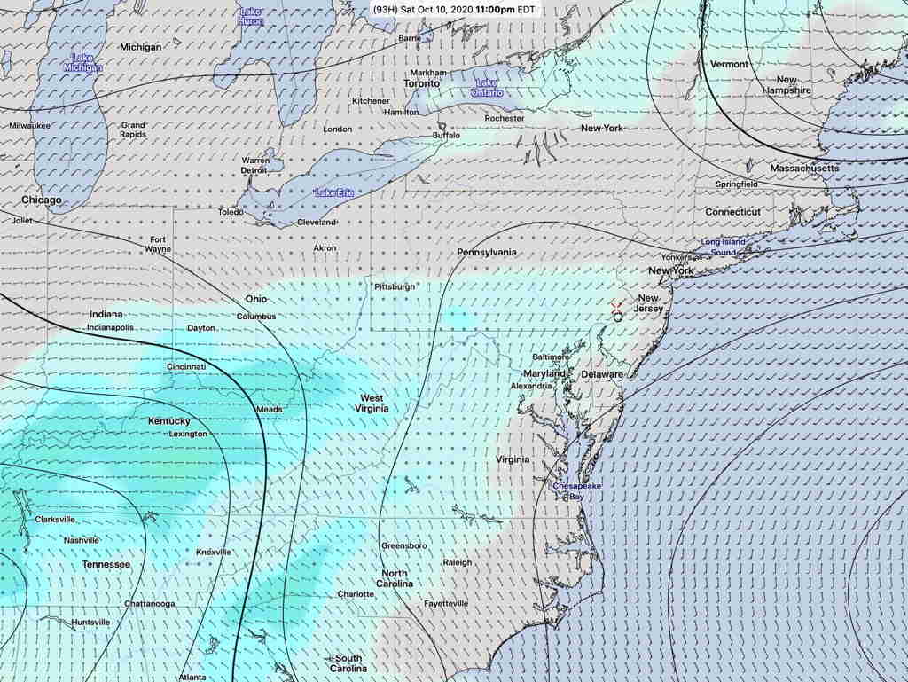
The latest GEFS (Global Ensemble Forecast System) has the rain reaching our area 11 PM Saturday night—
The 30 members and a ‘control version’ are collectively called the “ensemble”.
Each member has an introduced ‘perturbation’, a known, mathematically introduced error to account for the uncertainty in measurement of initial weather conditions.
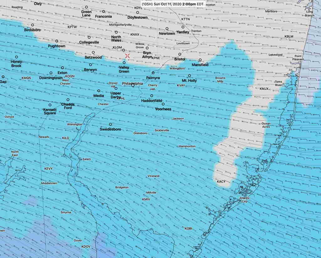
The latest blend of models (NBM) delays the rain into Sunday afternoon, although there’s a chance of light sprinkles earlier and increasing cloudiness will arrive as early as Saturday—
I expect more changes in this forecast, as hurricanes and tropical storms seem to adversely affect model forecasts. Stay tuned.