Sunday Forecast Update

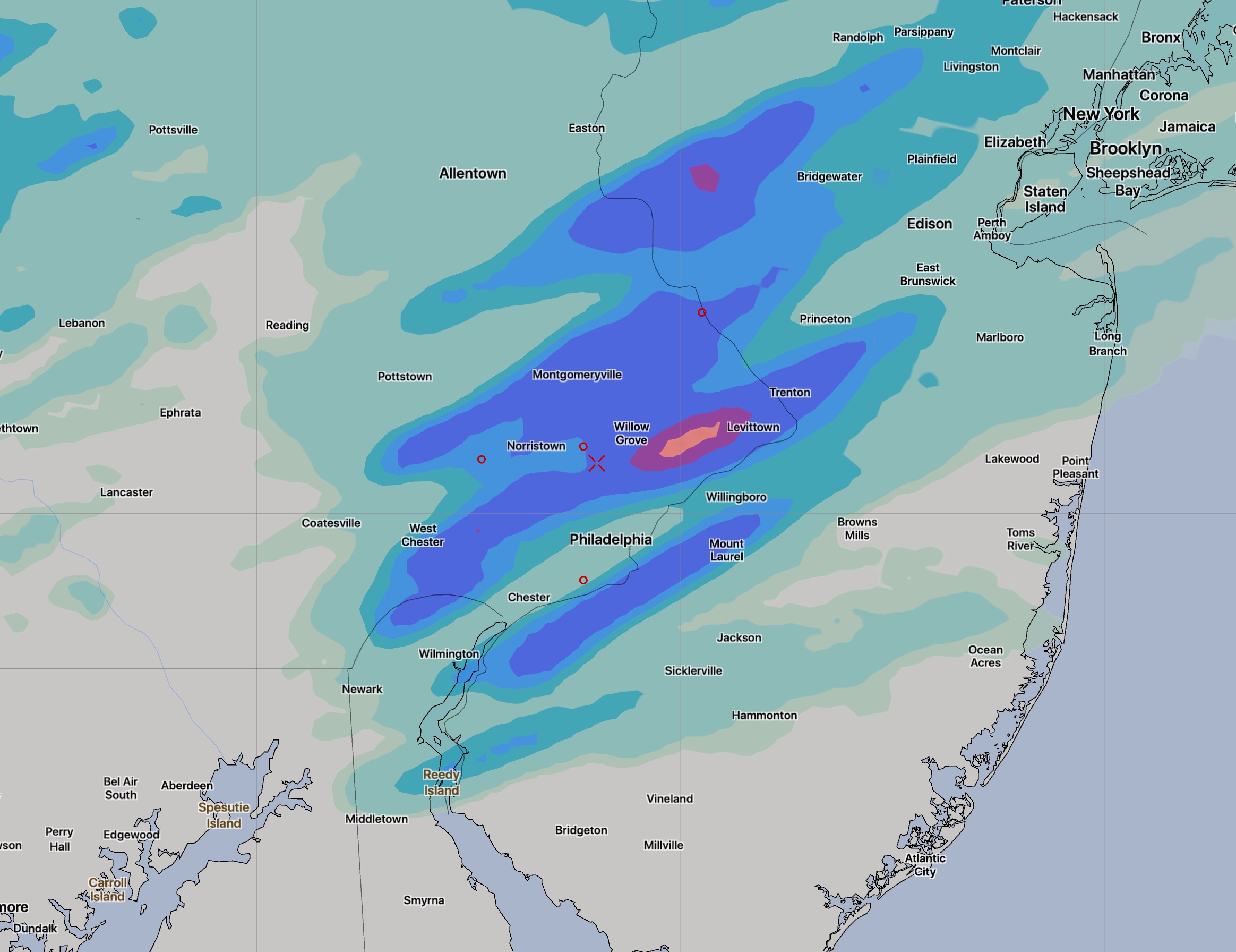
[su_box title=”Weather Forecast Update Sun 8 AM” box_color=”#defcdc” title_color=”#000000″]Last night’s NAM has light showers, drizzle in our area for much of the day. Total QPF less than 0.20 inches water. (The GFS keeps the precip to our north.) Staying with last night’s forecast, I’m leaning towards the light scattered showers/drizzle. [/su_box]

The forecasts have been less than consistent for Sunday even in the short range.  The GFS and NAM have alternated with each model run about the placement of showers for Sunday. The latest NAM keeps the precipitation to our north.  The GFS from this afternoon has light showers in the morning in our area. Both maintain clouds now for most of the day, possibly clearing late.  It will be cool. High 59-61.

The new GFS isn’t yet available as of this post.  I’m thinking there will be light showers, scattered, in the morning.  Sometimes we just don’t know.


WEATHER UPDATE- SAT AM

[su_highlight]Yet Another Update: [/su_highlight] A tough forecast for Sunday, as mentioned in my Friday morning post.  This afternoon’s high resolution NAM-NEST has moved the showers far north of our area again, joining the GFS and regular NAM.   So…..Sunday has clouds in the morning, then clearing for sun in the afternoon.

NAM Nest Forecast from this afternoon shows rain stays to our north on Sunday morning

Previous update:
[su_highlight]Another Update: [/su_highlight] A tough forecast for Sunday- This morning’s high resolution NAM-NEST has showers on Sunday morning.  QPF 0.15 to 0.40!

NAM NEST afternoon run showing showers remain to our north on Sunday

WEEKEND WEATHER FORECAST- FRI EARLY EDITION

[su_box title=”Weather Forecast Update Fri PM” box_color=”#defcdc” title_color=”#000000″]Most of the forecast below remains intact. The period of cloudiness mid and late Saturday morning will be just a few hours duration.   (The clouds stay to our north on the latest models.) Very windy. High temperatures as shown 60-62.

Sunday is looking a bit wetter with the latest GFS. Light showers early part of the day, QPF about 0.15- 0.20 inches water. Clearing later in the afternoon. Continued cool.  [/su_box]

Low pressure moving up to our northwest on Friday will an associated warm front will be scattered showers and low clouds today (Friday). A strong  cold front will move through between 5 and 8 PM Friday evening, with showers and some heavy thunderstorms possible.

Rain ends later Friday evening (tapering as early as 9 PM) and cooler air moves in for Saturday.

Saturday will start with a fair amount of cloudiness in the morning, especially between 9 AM and  1PM as a strong upper air disturbance moves though.  Clouds thin and lift in the early to mid afternoon with increasing sunshine.  It will be windy (WNW) with gusts over 30 mph!  Highs 60-62.

Another low pressure disturbance moves through on Sunday. Sunday will be cloudy, but precipitation is [currently] expected to be fairly light and scattered. Areas east of PHL will have light precip continue in the afternoon.  High near 60.

[su_highlight](There is still significant uncertainty with Sunday’s forecast as the statistical models have quite a bit of spread in the forecast.)[/su_highlight]


Weather… and Other Things 'Up in the Air'