[su_note note_color=”#d9f2da”]Fri 11:30 PM – The two versions of the WRF model just available show showers as early as 1PM Sunday and more sun than the GFS or NAM. High temp 86-88 on Sunday.
The WRF model forecasts have been really impressive lately. The downside is the model comes out late, only forecasts out to 48 hours and is only run twice daily. But accuracy is worth the wait. [/su_note]
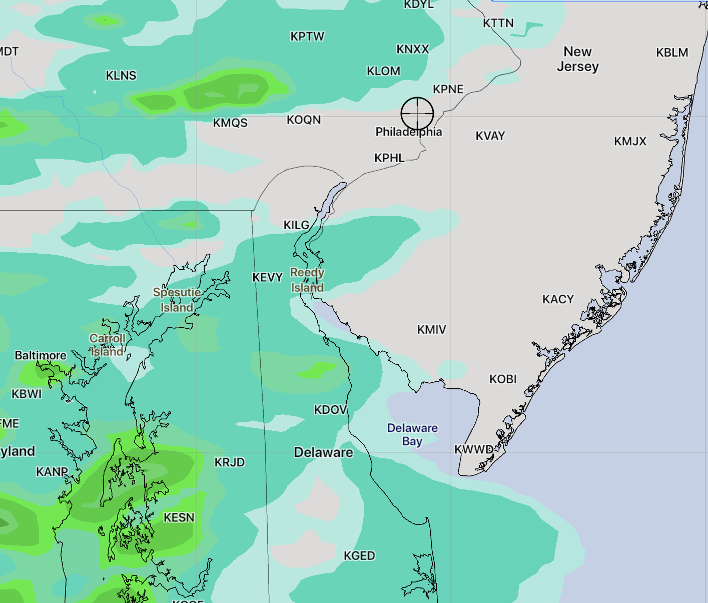
[su_note note_color=”#d9f2da”]Fri 10:45 PM – Tonight’s NAM has more sun, less cloudiness on Saturday afternoon, more clouds on Sunday. [/su_note]
Saturday will begin with the incredibly nice weather we had today (Friday).
As the crisp, unseasonable airmass over us moves off to the east, weak low pressure from the Midwest will pass to our north on Sunday. A southwesterly flow of increasingly humid and unstable air will move in for Sunday.
Saturday will start sunny and delightful. High temperature 82-84. During the afternoon a very weak “pseudo warm front” will approach. An increase in cloudiness expected with mostly cloudy skies by late afternoon.
Sunday will be mostly cloudy (some bright spots possible), warm and increasingly humid. As the warm front slowly moves to our north Sunday, light showers are possible in the morning, mostly far north and west, although a sprinkle or quick shower can’t be ruled out here. With increasing heat and humidity and an upper air disturbance moving through, expect showers and thunderstorms to break out in the afternoon.
The FV3-GFS I spoke of earlier this week has fully replaced the older GFS. The “FV3-GFS” after this past Wednesday IS the “GFS” now.
The GFS has the chance of light showers as early as 1 PM. Most of the shower and thunderstorm activity is expected during the late afternoon and evening hours according to both the NAM and GFS.
I’ll update over the weekend to give a more specific timing and indicate whether some areas will have any severe weather.
[su_note note_color=”#d9f2da”]What’s with this cool weather? Remember, we’re just coming off the 10 year sunspot cycle minimum. Back in the summer of 2009, we had fewer days in the 90s and many similar very cool spells. I’ve talked about this in the past.[/su_note]