[su_note note_color=”#ffffff”]Updated Fri 09:07 AM — Consistent with the poor performance forecasting this system, the models have moved the time of showers to this morning instead of noon – 3 PM.
So the latest attempt at an [accurate] forecast is light scattered showers this morning, occasional sun through thinning clouds this afternoon. Another chance of scattered light sprinkles late afternoon. High 65.2º sd 1.6º. [/su_note]
So, the winds were impressive today but the amount of rain was less than the models had originally forecast. The onset timing and structure of the storms were progressively different than had been modeled.
The storms expected after midnight tonight are no longer forecast by tonight’s models.
Tonight’s models show the location of the surface low not to be directly over us on Friday as had been originally forecast. As a result, the location or occurrence of showers Friday is low confidence.
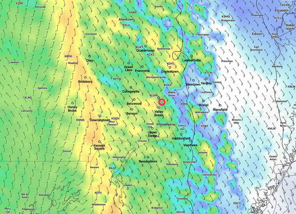
Weather forecasting is a very tough business. Today’s forecast models, which I followed closer than usual, have over the day transitioned to a scenario that is remarkably different than it was 12 hours ago.
So here’s tomorrow’s somewhat low confidence forecast– partly sunny, some clouds late morning and early afternoon.. A chance of showers about noon to 3 PM. High 66.3 sd 3.5° Increasingly windy towards evening.