UNCERTAIN WEEKEND FORECAST OUTLOOK

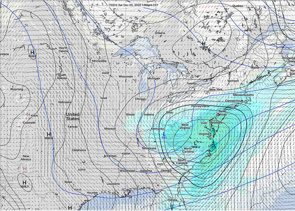
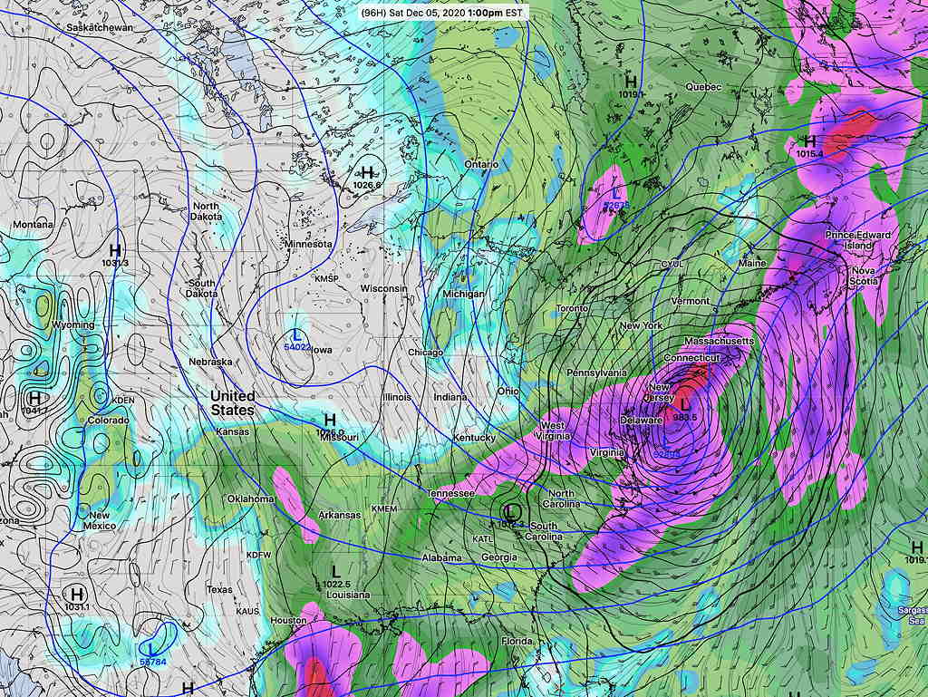
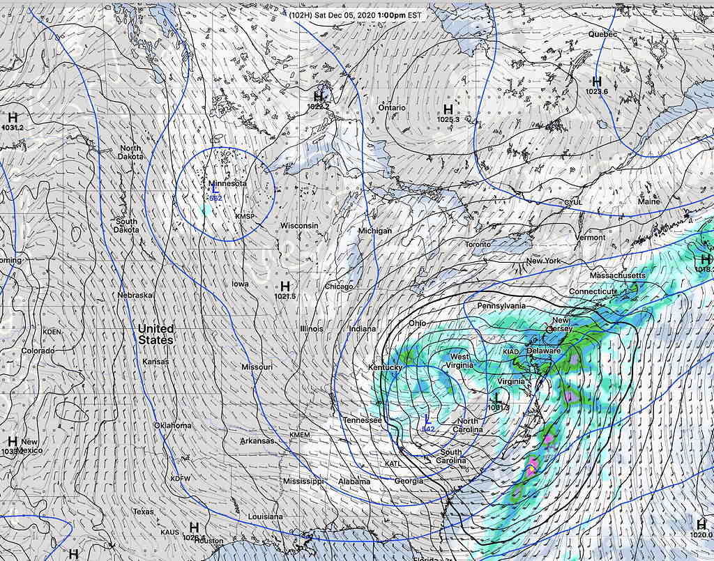
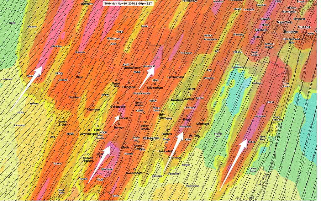
It’s uncommon for the 48 hour forecast to be so uncertain.  The models have been all over the map regarding the development, track and speed of the low pressure system that will affect us on Saturday.

Even the NWS Weather Prediction Center meteorologist seems frustrated by the models—

“Through the 12Z/18Z guidance, ongoing saga of model disappointment continued, owing to a rather unpredictable shortwave pattern amid a mostly predictable longwave pattern.”

That said, here’s the latest forecast based on this morning’s models— It appears that the storm will be moving faster and further east than previously forecast. (which I alluded to last night.)

The rain will start earlier Friday afternoon and will end earlier on Saturday, probably just after noontime Saturday. No snow or flurries in this forecast.

GFS Surface forecast for 12 PM Saturday showing rain ending in PHL.   (Click on image for a larger view.)

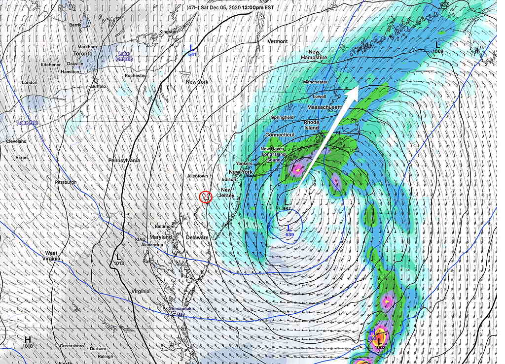
(Previous forecasts had the rain lasting into Saturday night or Sunday morning with snow flurries at the end.)

Stay tuned for updates.

INTERESTING WEEKEND WEATHER OUTLOOK

The dip in the jet flow that gave us the thunderstorms Monday and the colder weather today will be an ongoing feature of the weather pattern this week and this weekend.

Low pressure developing near the Gulf of Mexico at the end of the week will move up the coast this weekend. Any other year, this would be a recipe for snow with the track of this storm, but the theme of this year so far is what I call “the lack of really cold air”. 

There’s much uncertainty with the development, track and timing of this low pressure system. The current GEFS model shows the low pressure system at 1 PM Saturday—

GEFS Forecast for Saturday  (Click on image for a larger view.)

The German global ICON model has a more intensified low pressure system that takes a faster, more coastal track—

German ICON Global Model 1 PM Saturday  (Click on image for a larger view.)

The Canadian global is somewhat similar to the GEFS—

Canadian GDPS (“global GEM”) model  (Click on image for a larger view.)

All the models keep the storm warm enough for the precipitation to be RAIN for us on Saturday. (Some snow flurries early Sunday morning possible.)

Either way, Saturday looks stormy and Sunday looks to be windy and unsettled. This is an interesting scenario. Stay tuned.

WILD WEATHER MONDAY


My previous post talked about the tremendous energy expected to converge over our area on Monday as two jet streams phase.  Tonight’s models just becoming available support the possibility of severe weather Monday.

I had to dust off my summer model download scripts for this forecast, as the model parameters that are of interest are the summer severe thunderstorm variety.

The latest HRRR (High Resolution Rapid Refresh) shows highly elevated severe weather parameters, especially Wind Shear, Helicity and CAPE (convective available potential energy) for November.

Two time periods are of interest tomorrow—  From 9-11 AM, extremely elevated Helicity is forecast (black shading)  High winds are likely during the 9-11 AM time period.—

HRRR Helicity and Vorticity at 10 AM  (Click on image for a larger view.)

From 3-5 PM, highly elevated CAPE (for November) is forecast with the possibility of severe thunderstorms with hail —

CAPE and Hail forecast parameter  (Click on image for a larger view.)

Be sure to listen to the NWS for last minute warnings.

Weather… and Other Things 'Up in the Air'