NAM-NEST Precip type forecast 2 PM (Click on image for a larger view.)
from Monday …
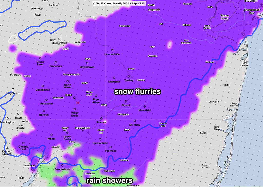
We have a chance of seeing the first snowflakes of this season early Wednesday morning. A weak upper air disturbance (clipper system) will move through the Philadephia area between 6 AM and 9 AM Wednesday morning.
Snow flurries are likely but most areas will either get no accumulation, or a light coating at most. Current water equivalents are very low, about 0.03 inches.
If this sort of non-event were to occur later in the season, it might not even merit a blog posting, but being the first flakes, I thought I’d get into gear.
There are some differences in model timing with tonight’s NAM and NAM-NEST having the this occur later in the morning. Stay tuned.
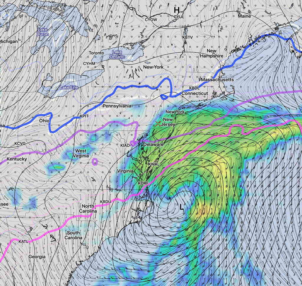
Updated Wed 07:40PM — Today’s models continue with the idea that some light rain may graze us early Saturday morning. No snow.
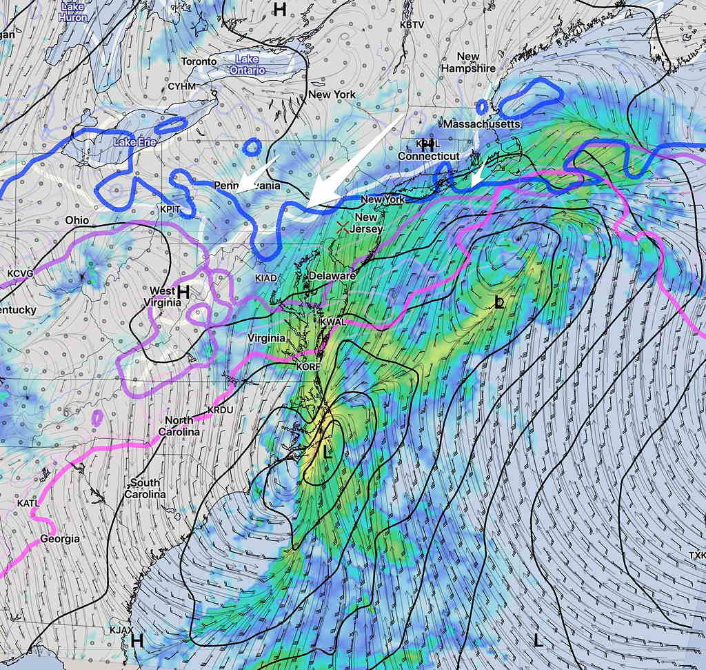
GFS Simulated Radar 8AM Saturday
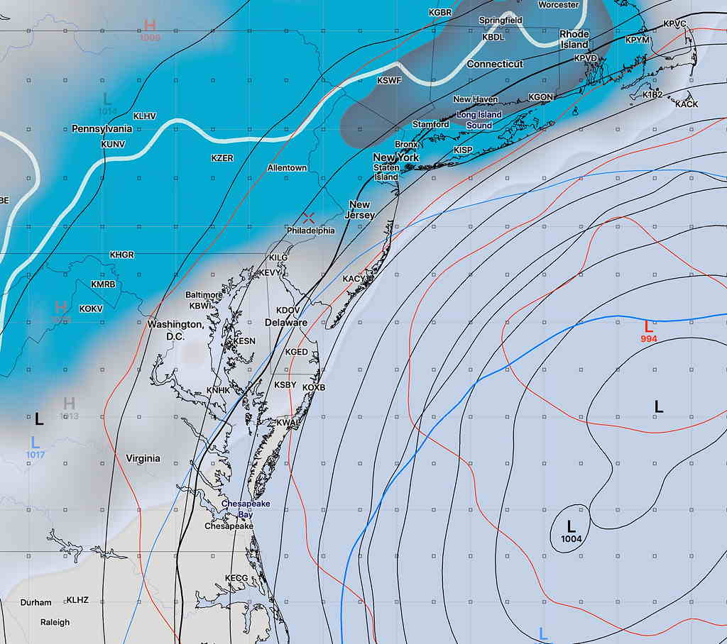
The NAM has backed off of last night’s snow forecast and shows only light rain showers possible before daybreak Saturday into Saturday morning.
NAM simulated radar forecast for 3 AM Saturday morning. Critical temp lines (blue) for snow too far north (arrows)
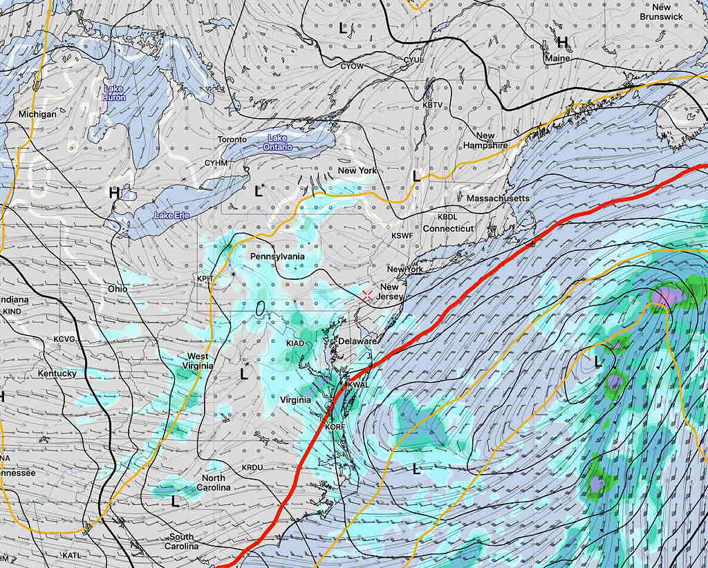
What’s fascinating about this weather event is how far apart different models are with the development and location of the low pressure system at this point in time. Here’s the Canadian Global model:
Canadian Global Precipitation forecast Saturday 8 AM
…from Wednesday morning—
So, things seemed very clear last night with the forecast for Saturday. Most of the models had the storm well east and south of us, barely affecting us. The Canadian and ECMWF are still south and east, with no precip here.
That’s also still true of the GFS and GEFS, but not so clear cut with the higher resolution NAM that has just come into forecast range (84 hours is the max forecast horizon for the NAM).
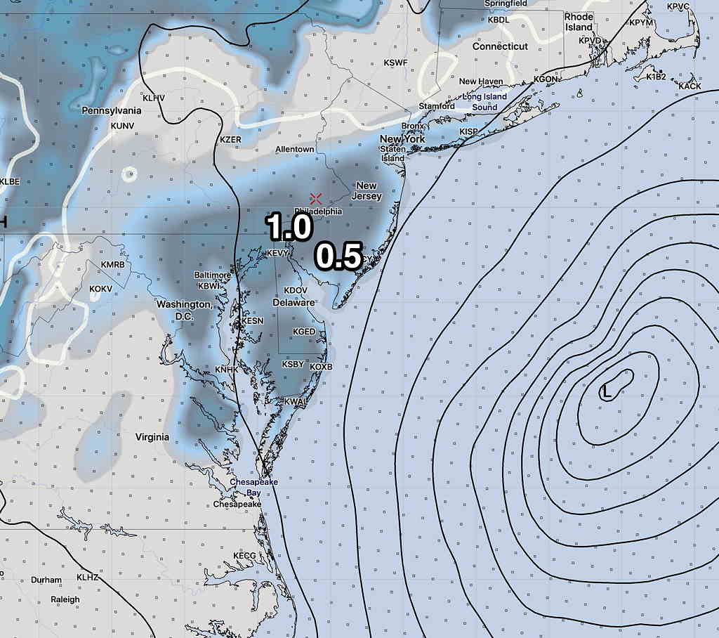
The NAM runs from last night and early morning have the storm side-swiping our area with a coating to an inch of snow early Saturday morning:
NAM snow depth forecast 10 AM Saturday
The German ICONensemble model has a somewhat similar snow depth of less than an inch further west:
ICON Ensemble Model snow depth forecast Saturday
The GFS, showing no snow, has done the best this year. I’ll keep an eye on it.