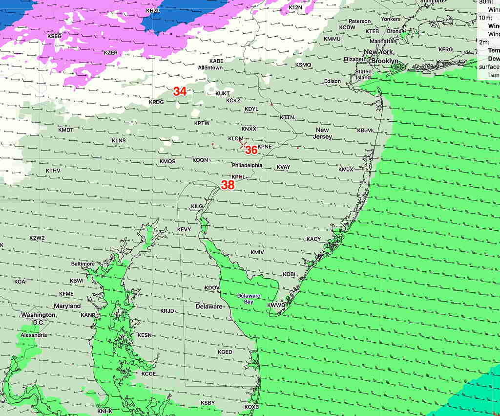
The warm front clearly did NOT make it north of the Philadelphia area, as had been previously predicted by the GFS. It’s in the 40s. The short range models got this one correct yesterday. Not a surprise; the new GFS has been biased to the warm side.
Today’s GFS has caught up with short range models. Here’s the latest GFS below. We don’t get out of the 40s north of the city.
GFS forecast temperatures for 3 PM Monday. Click for larger image
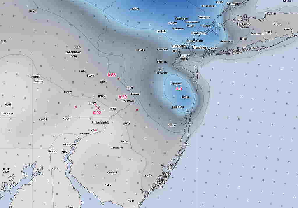
Speaking of temperatures, here’s the latest NBM (National Blend of Models) forecast for New Years Eve- Midnight. Clear skies. Winds 7-9 mph.
[su_note note_color=”#defcdc”]Update Sun 12 PM: So, the current radar shows precipitation moving in sooner than any models had predicted. Rain may start as early as 1 PM.[/su_note]
Most of last night’s models continue with the idea that rain begins in the general Philadelphia area around 3-4 PM today, Sunday. A remaining exception is the high resolution Canadian (HRDPS) which waits until 7 PM for the rain to start.
Rain may be heavy overnight and into Monday morning, then more light and scattered.
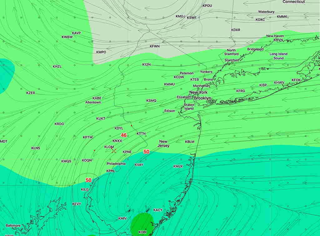
A warm front will try to make its way into Philadelphia and areas on a line to its south on Monday morning. If it does, temps will rise into the low 60s.
However, only the GFS has it making its way as far north as Willow Grove. The NAM, NAMNEST and the Canadian HRDPS, GDPS keep it further south. Areas that remain north of the warm front will remain in the low 50s. (Warm fronts are not as distinct as cold fronts.) So it may not get as warm as previously though on Monday.
NAM warm front position 12 PM Monday. (NAM Temp, wind streamlines)
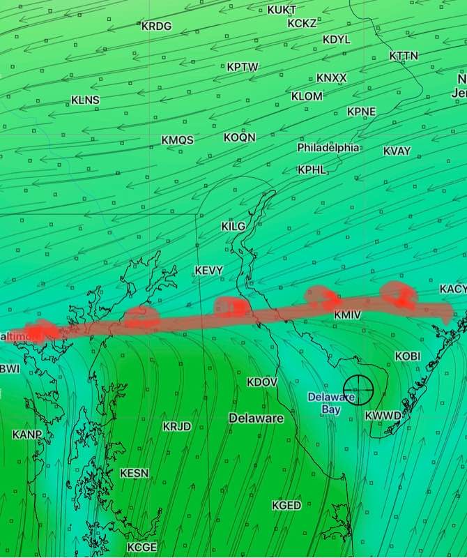
Most models have a cold front moving through about 2-3 PM, dropping temperatures.
[su_note note_color=”#defcdc”]Mon 11:40 AM Update: This morning’s other models (WRF-NMM, WRF-ARW and the GFS) all show barely a coating to a fraction of an inch of snow accumulating by the end of this storm around midnight in the immediate PHL area and adjacent counties. The HIREF shows a stronger snow shower possible about 6 PM, not substantially adding to the total.
As I mentioned last night, the new GFS probably did the best with this storm overall. The much-touted European ECMWF seems to have over-forecast the snowfall here. [/su_note]
…from earlier this morning—
I was able to review the latest NAM, NAM-NEST and RAP. All are consistent with the coating to an inch for Philadelphia and surrounding counties. Below is the NAM snow depth forecast for late this evening—
NAM Snow Depth forecast (in inches) for midnight Monday. (click for larger image) Most areas much less than an inch around here.