An interesting snowstorm, with some aspects forecast correctly and others not.
On the plus side—
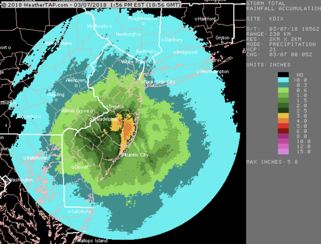
- Precipitation amounts (QPF) were reasonably accurate and timing was pretty good.
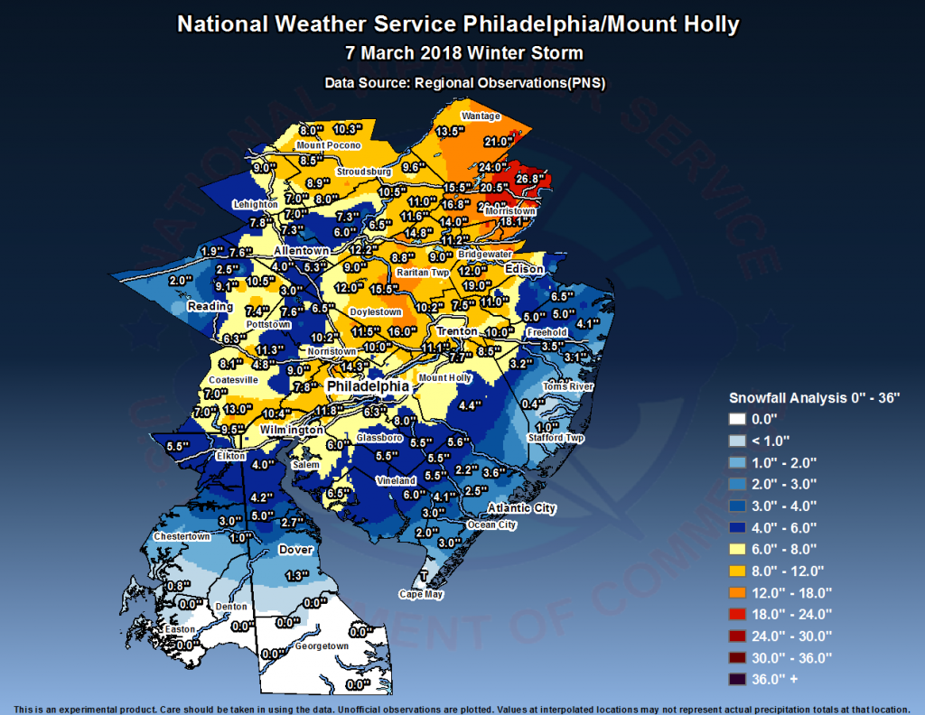
- Snow accumulations are always difficult to predict in March, but there were some official reports of snow totals in the
9-12 inch rangeat the upper end. (Official NWS map shows totals were closer to forecast than I realized.) - Temperatures were accurately predicted at 32-33.
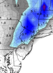
Interestingly, the Kuchera algorithm NAM snow totals and axis from last night was probably the most accurate!
What was off on the forecast—
- The heavy snow axis was closer to I-95, not the far north and west as originally thought. (This was captured by the NAM last night.)
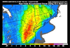
- Total snowfall was less than the 10:1 (16 inches max prediction)
- Winds were much lighter (luckily) than had been expected.
I’m ready for spring!


