Category Archives: Tropical Storm Outlooks

IF – ELSE (ELSA); THEN RAIN

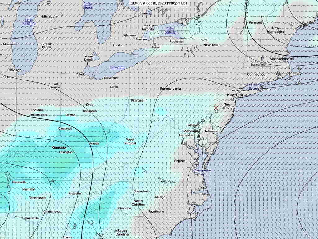
Updated Tue 8:30 AM : The trend continues towards a westward track off the NJ coast, and a merging with a Great Lakes low and associated cold front . The remnants of Elsa are not forecast to be very strong. Just a moisture source for additional rain. Some models have the associated rain east of the storm with little effect here.

What could be more conditional than an if-else (Elsa) storm situation!

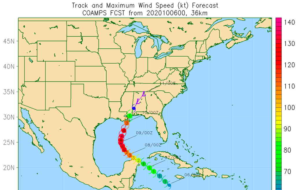
I’ve been following the path of Elsa, as forecast by the GFS, GEFS, Canadian GDPS, the ICON Global and the NBM.

The models have been showing a significantly more westward track for Elsa over the past 24 hours, bringing it closer to the NJ coastline and the Philadelphia area in the late Thursday through Friday time frame.

After several hot days Tuesday and Wednesday, an approaching cold front will bring thunderstorms as early as Wednesday evening and Thursday.

The speed of the cold front will affect the path of Elsa in our region. If the cold front slows down, we will have much more rain and wind.

The latest GFS model has several inches of rain possible this week for the Philadelphia area and eastward, but the NBM rainfall amounts are not impressive right now.

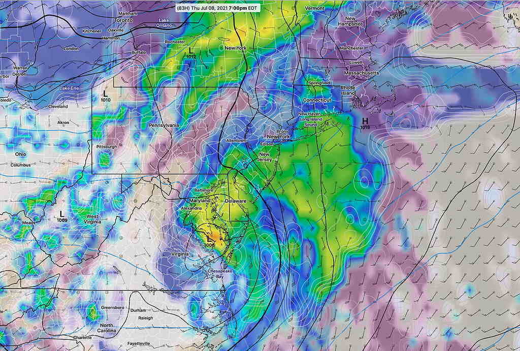
Here’s the current GFS model forecast for 7 PM Thursday—

GFS model forecast (simulated radar, cloud cover) for 7 PM Thursday. This represents a significant change over the past day to a more westward track . (Click on image for a larger view.)

These tropical storm forecasts always to change over time. Stay tuned.


STORM DELTA WEEKEND UPDATE

Not surprising, the timing of Hurricane Delta’s impact on the Philadelphia area has changed somewhat over the past 24 hours and there’s uncertainty regarding the timing of the rain here over the weekend.

While the latest [publicly available} COAMPS model maintains a similar track and a somewhat faster movement, the track of the remnant moisture towards our region is somewhat delayed back into the Sunday time frame.

Latest COAMPS model track and intensity (Click on image for a larger view.)


The latest GEFS (Global Ensemble Forecast System) has the rain reaching our area 11 PM Saturday night—

GEFS Precip/Pressure Forecast 11 PM Saturday  (Click on image for a larger view.)

The new GEFS  forecast represents the statistical average of 30 versions, called “members”, of 30 separate GFS model runs.

The 30 members and a ‘control version’ are collectively called the “ensemble”.

Each member has an introduced  ‘perturbation’,  a known, mathematically introduced error to account for the uncertainty in measurement of initial weather conditions.

The latest blend of models (NBM) delays the rain into Sunday afternoon, although there’s a chance of light sprinkles earlier and increasing cloudiness will arrive as early as Saturday—

NBM precipitation forecast for 2 PM Sunday (Click on image for a larger view.)

I expect more changes in this forecast, as hurricanes and tropical storms seem to adversely affect model forecasts.  Stay tuned.


HURRICANE DELTA REMNANTS TO AFFECT OUR WEEKEND

Hurricane Delta is expected to move onto the Gulf Coastline and its remnants are expected to move over our area over the weekend.   The current time line has shifted to a somewhat faster approach, with clouds and possibly some light rain moving in as early as Saturday.

(Previous model runs had it affecting us on Sunday.)

Here’s the latest GEFS forecast for Saturday morning—

GEFS Forecast for Saturday 8 AM  (Click on image for a larger view.)

This storm has been difficult to forecast over recent days, since it appeared it might interact with tropical storm Gamma.    It looks like will absorb the circulation of Gamma as it heads towards the Gulf coastline.

Navy COAMPS forecast.  (Click on image for a larger view.)

Additional changes in timing and track are likely. Stay tuned.