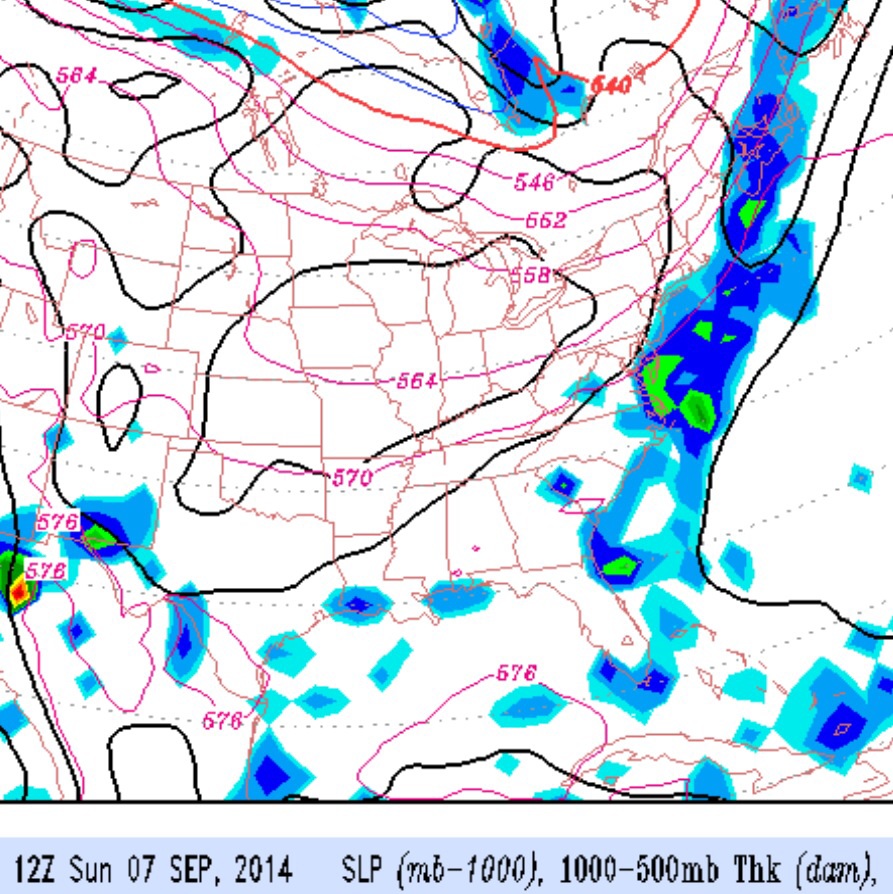
A cold front will move through early Saturday evening and slowly clear the coast by late Sunday morning.
Thunderstorms and showers will precede the frontal passage, most likely occurring after 5PM Saturday afternoon and into the evening. Likelihood of showers is only about 65%. It will be hot and humid on Saturday with highs near 90.
Some lingering mid-level cloudiness Sunday morning, clearing for a beautiful Sunday afternoon, with lower humidity, cooler temperatures and a high near 79.
A cold front will move through on Saturday and clear the coast by Sunday morning. The models have been consistent with the timing and features of this frontal passage.
Thunderstorms and showers will precede the frontal passage, most likely occurring late Saturday afternoon and evening. It will be very warm humid on Saturday with highs near 87.
Skies clear for a beautiful Sunday, with fair skies, lower humidity, and cooler temperatures with a high near 79.
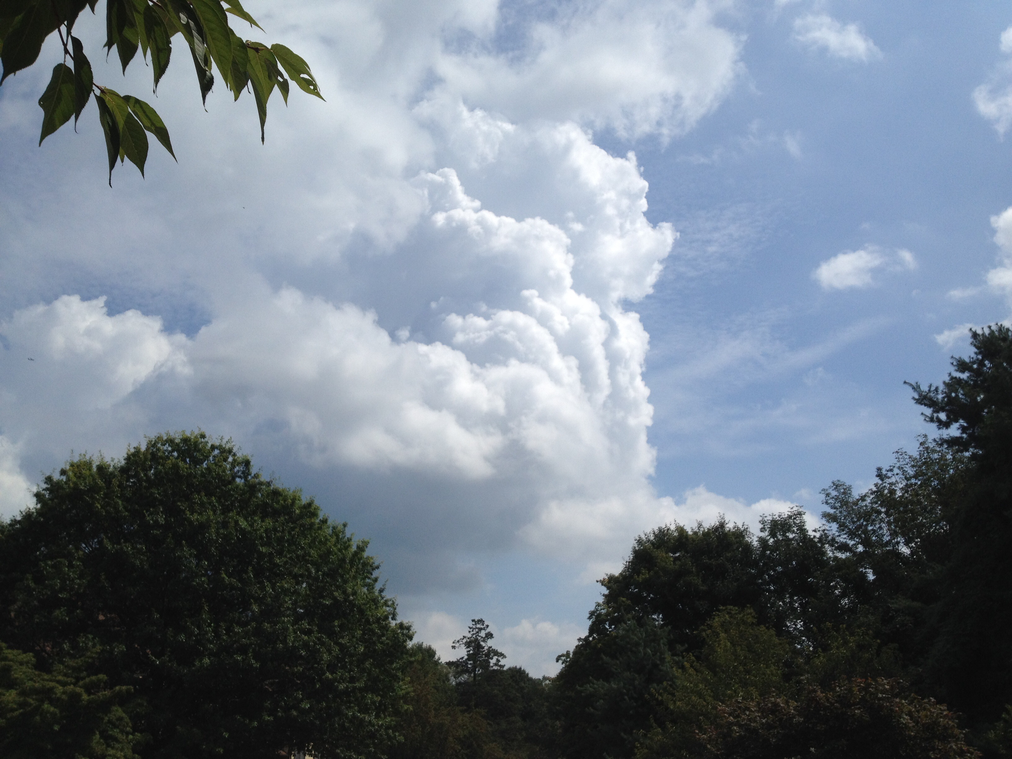
Cumulonimbus clouds build early yesterday afternoon.
The sun should break through later this morning. Temps should rise into the high 80s with dewpoints near 69 or 70.
A very summer-like day for the first day of September.
A chance of widely scattered thunderstorms during the afternoon– the NAM based HRRR predicts these storms to be much more widely scattered and less organized than yesterday’s storms.