
#Philadelphia #weather #PAwx
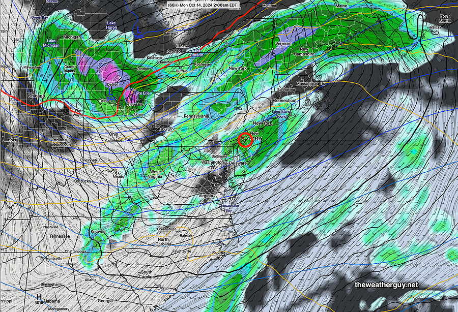
Posted Saturday 10/12/24 @ 10:48 AM — Cancel those showers for Sunday night. Both the GFS and ECMWF now show less of an upper trough and weaker low pressure development. The very dry weather to continue.
Originally Posted Fri 5:36 PM —With a high pressure ridge and upper air trough seemingly unchanging in previous models runs, I’ve been taking a break from forecasts for the past two days. However, weather being what it is, things have changed and it seems there may actually be a chance for some rain late Sunday or Sunday night.
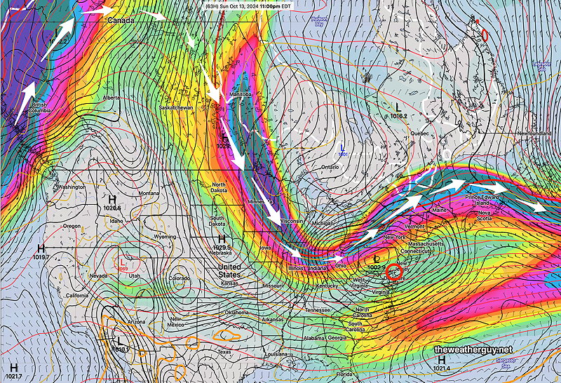
We’re expected to be under the influence of an upper trough by Sunday and low pressure is expected to develop right over western Pennsylvania by Sunday evening.
While we’re still not located in the most favorable position for rain relative to the jet flow, the latest GFS is cranking out some rain Sunday night! Not a lot, about 1/4 of an inch, but we’ll take anything we can get.
Sunday Forecast
Considerable cloudiness far northern suburbs, mostly sunny closer to the city. Increasing cloudiness late afternoon. Cloud cover will affect high temperatures reached.
NBM high temperatures: Blue Bell, PA 77º Philadelphia, PA 79º, maybe 80º
Uncertainty (based on standard deviation): slightly below average confidence.